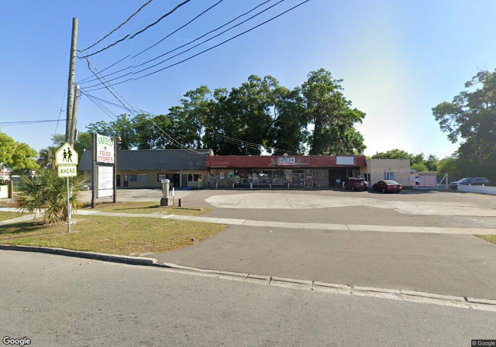
3963 Confederate Point Rd Unit 6 Jacksonville, FL 32210
Cedar Hills NeighborhoodEstimated Value: $1,357,853
Studio
3
Baths
7,706
Sq Ft
$176/Sq Ft
Est. Value
About This Home
This home is located at 3963 Confederate Point Rd Unit 6, Jacksonville, FL 32210 and is currently estimated at $1,357,853, approximately $176 per square foot. 3963 Confederate Point Rd Unit 6 is a home located in Duval County with nearby schools including Hidden Oaks Elementary, Westside Middle School, and Edward H. White High School.
Ownership History
Date
Name
Owned For
Owner Type
Purchase Details
Closed on
Jun 1, 1998
Sold by
Huffman Robert D and Huffman Bette K
Bought by
Safar Edmond R
Current Estimated Value
Home Financials for this Owner
Home Financials are based on the most recent Mortgage that was taken out on this home.
Original Mortgage
$335,000
Outstanding Balance
$61,935
Interest Rate
7.14%
Mortgage Type
Seller Take Back
Estimated Equity
$1,299,946
Create a Home Valuation Report for This Property
The Home Valuation Report is an in-depth analysis detailing your home's value as well as a comparison with similar homes in the area
Home Values in the Area
Average Home Value in this Area
Purchase History
| Date | Buyer | Sale Price | Title Company |
|---|---|---|---|
| Safar Edmond R | $375,000 | -- |
Source: Public Records
Mortgage History
| Date | Status | Borrower | Loan Amount |
|---|---|---|---|
| Open | Safar Edmond R | $335,000 |
Source: Public Records
Tax History
| Year | Tax Paid | Tax Assessment Tax Assessment Total Assessment is a certain percentage of the fair market value that is determined by local assessors to be the total taxable value of land and additions on the property. | Land | Improvement |
|---|---|---|---|---|
| 2026 | $8,737 | $486,439 | -- | -- |
| 2025 | $7,973 | $441,528 | -- | -- |
| 2024 | $7,763 | $458,800 | $116,663 | $342,137 |
| 2023 | $7,763 | $486,900 | $106,058 | $380,842 |
| 2022 | $6,082 | $333,200 | $106,058 | $227,142 |
| 2021 | $6,089 | $324,600 | $106,058 | $218,542 |
| 2020 | $6,344 | $335,800 | $106,058 | $229,742 |
| 2019 | $6,201 | $328,100 | $106,058 | $222,042 |
| 2018 | $5,930 | $331,100 | $107,719 | $223,381 |
| 2017 | $5,608 | $318,800 | $107,719 | $211,081 |
| 2016 | $4,898 | $240,600 | $0 | $0 |
| 2015 | $4,977 | $240,600 | $0 | $0 |
Source: Public Records
Map
Nearby Homes
- 3779 Cedarcrest Dr
- 3903 Rendale Dr N
- 4109 Tyndale Dr
- 4302 Buck Point Rd
- 4122 Rendale Dr
- 5757 Cedar Park Ln
- 6014 Woodside Dr
- 6055 Wilson Blvd
- 6171 Cedar Hills Blvd
- 6041 Harlow Blvd
- 6124 Woodside Dr
- 2467 Ormsby Cir E
- 3434 Blanding Blvd Unit 101
- 3434 Blanding Blvd Unit 124
- 3434 Blanding Blvd Unit 247
- 3434 Blanding Blvd Unit 236
- 3434 Blanding Blvd Unit 201
- 3434 Blanding Blvd Unit 215
- 3434 Blanding Blvd Unit 116
- 3434 Blanding Blvd Unit 207
- 5754 Cedar Forest Dr S
- 5746 Cedar Forest Dr S
- 5762 Cedar Forest Dr S
- 5740 Cedar Forest Dr S
- 4001 Confederate Point Rd
- 5770 Cedar Forest Dr S
- 3920 Confederate Point Rd
- 5747 Cedar Forest Dr S
- 5759 Cedar Forest Dr S
- 5739 Cedar Forest Dr S
- 5724 Cedar Forest Dr S
- 5780 Cedar Forest Dr S
- 5780 Cedar Forest Dr E
- 5731 Cedar Forest Dr S
- 3950 Confederate Point Rd
- 5718 Cedar Forest Dr S
- 3909 Blanding Blvd
- 5721 Cedar Forest Dr S
- 5760 Cedar Forest Dr N
- 5750 Cedar Forest Dr N
Your Personal Tour Guide
Ask me questions while you tour the home.