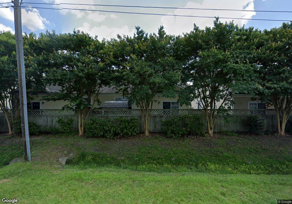
3966 Rex Cir Unit 44 Chesapeake, VA 23321
Western Branch NeighborhoodEstimated Value: $250,000 - $287,000
2
Beds
2
Baths
1,632
Sq Ft
$164/Sq Ft
Est. Value
About This Home
This home is located at 3966 Rex Cir Unit 44, Chesapeake, VA 23321 and is currently estimated at $268,446, approximately $164 per square foot. 3966 Rex Cir Unit 44 is a home located in Chesapeake City with nearby schools including Southwestern Elementary School, Jolliff Middle School, and Western Branch High School.
Ownership History
Date
Name
Owned For
Owner Type
Purchase Details
Closed on
May 21, 2025
Sold by
Pugh Calvin R
Bought by
Nivlac Properties Llc
Current Estimated Value
Purchase Details
Closed on
Apr 21, 2014
Sold by
Mcq Builders Llc & 1
Bought by
Pugh Calvin R
Home Financials for this Owner
Home Financials are based on the most recent Mortgage that was taken out on this home.
Original Mortgage
$137,164
Interest Rate
4.32%
Mortgage Type
New Conventional
Create a Home Valuation Report for This Property
The Home Valuation Report is an in-depth analysis detailing your home's value as well as a comparison with similar homes in the area
Home Values in the Area
Average Home Value in this Area
Purchase History
| Date | Buyer | Sale Price | Title Company |
|---|---|---|---|
| Nivlac Properties Llc | -- | None Listed On Document | |
| Pugh Calvin R | $161,370 | -- |
Source: Public Records
Mortgage History
| Date | Status | Borrower | Loan Amount |
|---|---|---|---|
| Previous Owner | Pugh Calvin R | $137,164 |
Source: Public Records
Tax History
| Year | Tax Paid | Tax Assessment Tax Assessment Total Assessment is a certain percentage of the fair market value that is determined by local assessors to be the total taxable value of land and additions on the property. | Land | Improvement |
|---|---|---|---|---|
| 2025 | $2,545 | $265,100 | $65,000 | $200,100 |
| 2024 | $2,545 | $252,000 | $60,000 | $192,000 |
| 2023 | $2,103 | $239,400 | $60,000 | $179,400 |
| 2022 | $2,013 | $199,300 | $50,000 | $149,300 |
| 2021 | $1,968 | $187,400 | $50,000 | $137,400 |
| 2020 | $1,867 | $177,800 | $40,000 | $137,800 |
| 2019 | $1,867 | $177,800 | $40,000 | $137,800 |
| 2018 | $1,812 | $0 | $0 | $0 |
| 2017 | $1,745 | $166,200 | $35,000 | $131,200 |
| 2016 | $1,693 | $161,200 | $30,000 | $131,200 |
| 2015 | $1,624 | $154,700 | $30,000 | $124,700 |
| 2014 | $1,677 | $159,700 | $35,000 | $124,700 |
Source: Public Records
Map
Nearby Homes
- 1821 Spar St
- 3861 Ahoy Dr
- 3931 Port Rd
- 4004 River Breeze Cir
- 3912 Holly Cove Dr
- 4227 Meander Way
- 3860 Schooner Trail
- 800 Arnold Palmer Dr
- 1704 Sandy Pines Ct
- 102 Ben Hogan Dr
- 409 Holloway Dr
- 2004 Elmhurst Ln
- 305 Bobby Jones Dr
- 3932 Pierce Ln
- 1419 Welcome Rd
- 304 Dominion Rd
- 501 Berkshire Rd
- 4108 Lakeview Dr
- 4618 Greenwood Dr
- 1109 Lakeview Dr