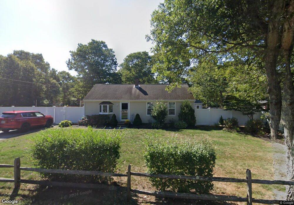
397 Ashers Path E Mashpee, MA 02649
Estimated Value: $452,000 - $506,000
3
Beds
2
Baths
960
Sq Ft
$499/Sq Ft
Est. Value
About This Home
This home is located at 397 Ashers Path E, Mashpee, MA 02649 and is currently estimated at $479,151, approximately $499 per square foot. 397 Ashers Path E is a home located in Barnstable County with nearby schools including Kenneth C. Coombs School, Quashnet School, and Mashpee Middle School.
Ownership History
Date
Name
Owned For
Owner Type
Purchase Details
Closed on
Mar 8, 2005
Sold by
Calabrese Nicole M and Demeo Nicole M
Bought by
Demeo Nicole M
Current Estimated Value
Purchase Details
Closed on
Dec 7, 1998
Sold by
Pelletier Alan R and Pelletier Maryjo
Bought by
Demeo Ross C and Calabrese Nicole M
Home Financials for this Owner
Home Financials are based on the most recent Mortgage that was taken out on this home.
Original Mortgage
$93,800
Interest Rate
6.68%
Mortgage Type
Purchase Money Mortgage
Create a Home Valuation Report for This Property
The Home Valuation Report is an in-depth analysis detailing your home's value as well as a comparison with similar homes in the area
Purchase History
| Date | Buyer | Sale Price | Title Company |
|---|---|---|---|
| Demeo Nicole M | -- | -- | |
| Demeo Ross C | $93,800 | -- |
Source: Public Records
Mortgage History
| Date | Status | Borrower | Loan Amount |
|---|---|---|---|
| Previous Owner | Demeo Ross C | $32,437 | |
| Previous Owner | Demeo Ross C | $8,812 | |
| Previous Owner | Demeo Ross C | $93,800 |
Source: Public Records
Tax History
| Year | Tax Paid | Tax Assessment Tax Assessment Total Assessment is a certain percentage of the fair market value that is determined by local assessors to be the total taxable value of land and additions on the property. | Land | Improvement |
|---|---|---|---|---|
| 2025 | $2,563 | $387,100 | $167,000 | $220,100 |
| 2024 | $2,325 | $361,600 | $151,800 | $209,800 |
| 2023 | $2,205 | $314,600 | $144,600 | $170,000 |
| 2022 | $2,169 | $265,500 | $124,100 | $141,400 |
| 2021 | $2,071 | $228,300 | $111,700 | $116,600 |
| 2020 | $4,631 | $219,800 | $107,500 | $112,300 |
| 2019 | $1,931 | $213,400 | $107,500 | $105,900 |
| 2018 | $3,065 | $198,400 | $107,500 | $90,900 |
| 2017 | $3,598 | $189,000 | $107,500 | $81,500 |
| 2016 | $1,704 | $184,400 | $107,500 | $76,900 |
| 2015 | $1,643 | $180,300 | $107,500 | $72,800 |
| 2014 | $1,490 | $158,700 | $86,900 | $71,800 |
Source: Public Records
Map
Nearby Homes
- 300 Falmouth Rd Unit 6B
- 300 Falmouth Rd Unit 6B
- 300 Falmouth Rd Unit 51
- 300 Falmouth Rd Unit 16A
- 300 Falmouth Rd Unit 20C
- 300 Falmouth Rd Unit 21E
- 300 Falmouth Rd Unit 16A
- 10 Butler Ln
- 70 Quinaquisset Ave
- 195 Falmouth Rd Unit 19F
- 195 Falmouth Rd Unit 12E
- 195 Falmouth Rd Unit 9F
- 195 Falmouth Rd Unit 9F
- 195 Falmouth Rd
- 195 Falmouth Rd Unit 9D
- 195 Falmouth Rd Unit 19F
- 114 Orchard Rd
- 145 Quinaquisset Ave
- 6 Willow Cir
- 11 Webquish Ln
- 403 Ashers Path E
- 391 Ashers Path E
- 403 Asher's Path E Unit EAST
- 19 Papnomett Rd
- 14 Matchewuttah Rd
- 10 Matchewuttah Rd
- 409 Ashers Path E
- 2 High Sachem Rd
- 4 Matchewuttah Rd
- 16 Papnomett Rd
- 24 Papnomett Rd
- 31 Papnomett Rd
- 39 Papnomet Rd
- 10 Papnomett Rd
- 30 Papnomett Rd
- 14 High Sachem Rd
- 299 Falmouth Rd
- 305 Falmouth Rd
- 3 High Sachem Rd
- 293 Falmouth Rd
Your Personal Tour Guide
Ask me questions while you tour the home.