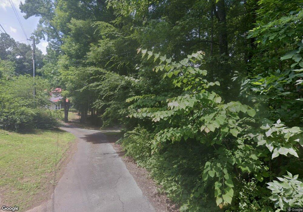
397 Brownlee Mountain Rd SW Adairsville, GA 30103
Estimated Value: $164,000 - $234,000
3
Beds
2
Baths
1,552
Sq Ft
$134/Sq Ft
Est. Value
About This Home
This home is located at 397 Brownlee Mountain Rd SW, Adairsville, GA 30103 and is currently estimated at $207,208, approximately $133 per square foot. 397 Brownlee Mountain Rd SW is a home located in Gordon County with nearby schools including Swain Elementary School, Ashworth Middle School, and Gordon Central High School.
Ownership History
Date
Name
Owned For
Owner Type
Purchase Details
Closed on
Nov 17, 2014
Sold by
Citimortgage Inc
Bought by
Simonds Joan Ellen
Current Estimated Value
Purchase Details
Closed on
Aug 5, 2014
Sold by
Miolen Larry
Bought by
Citimortgage Inc
Purchase Details
Closed on
May 22, 2013
Sold by
Miolen Larry and Miolen Patricia
Bought by
Miolen Patricia
Purchase Details
Closed on
Sep 12, 1989
Bought by
Miolen Larry and Miolen Patricia
Purchase Details
Closed on
Sep 14, 1987
Sold by
King Ricky
Bought by
Walraven Elizabeth
Create a Home Valuation Report for This Property
The Home Valuation Report is an in-depth analysis detailing your home's value as well as a comparison with similar homes in the area
Home Values in the Area
Average Home Value in this Area
Purchase History
| Date | Buyer | Sale Price | Title Company |
|---|---|---|---|
| Simonds Joan Ellen | $45,000 | -- | |
| Citimortgage Inc | $59,127 | -- | |
| Miolen Patricia | -- | -- | |
| Miolen Larry | -- | -- | |
| Walraven Elizabeth | -- | -- |
Source: Public Records
Tax History Compared to Growth
Tax History
| Year | Tax Paid | Tax Assessment Tax Assessment Total Assessment is a certain percentage of the fair market value that is determined by local assessors to be the total taxable value of land and additions on the property. | Land | Improvement |
|---|---|---|---|---|
| 2024 | $1,046 | $43,160 | $2,400 | $40,760 |
| 2023 | $983 | $40,680 | $2,400 | $38,280 |
| 2022 | $981 | $38,320 | $2,400 | $35,920 |
| 2021 | $848 | $32,280 | $2,400 | $29,880 |
| 2020 | $874 | $32,520 | $2,400 | $30,120 |
| 2019 | $879 | $32,520 | $2,400 | $30,120 |
| 2018 | $827 | $30,720 | $2,400 | $28,320 |
| 2017 | $806 | $29,200 | $2,400 | $26,800 |
| 2016 | $808 | $29,200 | $2,400 | $26,800 |
| 2015 | $540 | $36,176 | $2,400 | $33,776 |
| 2014 | $961 | $35,007 | $2,424 | $32,582 |
Source: Public Records
Map
Nearby Homes
- 180 Honeysuckle Vine Rd
- 154 Honeysuckle Dr SW
- 3610 Rome Rd SW
- 332 Old Calhoun Rd SW
- 221 Hardin Rd SW
- 3293 Rome Rd SW
- 1211 Franklin Rd SW
- 2857 McDaniel Station Rd SW
- 356 W Oak Grove Rd NW
- 159 Moores Ferry Rd SW
- 241 River Bend Rd SW
- 241 Riverbend Rd SW
- 187 Cantrell Dr SW
- 0 Woody Rd NW Unit 10634615
- 39 N Ridge Dr NW
- 69 Hopkins Farm Dr
- 397 Brownlee Mountain Rd SW
- 397 Brownlee Mountain Rd SW
- 0 Brownlee Mountain Rd SW
- 321 Brownlee Mountain Rd SW
- 305 Brownlee Mountain Rd SW
- 283 Brownlee Mountain Rd SW
- 283 SW Brownlee Mountian Rd
- 283 Brownlee Mtn Rd
- 201 Honeysuckle Dr SW
- 161 Honeysuckle Vine Rd
- 130 Honeysuckle Vine Rd
- 179 Honeysuckle Dr SW
- 383 Brownlee Mountain Rd SW
- 193 Honeysuckle Dr SW
- 385 Brownlee Mountain Rd
- 239 Brownlee Mountain Rd SW
- 381 Brownlee Mountain Rd SW
- 227 Brownlee Mountain Rd SW
- 280 Brownlee Mountain Rd SW
- 188 Honeysuckle Dr SW