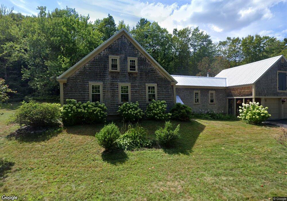
397 Browns Ridge Rd Ossipee, NH 03864
Estimated Value: $314,000 - $631,000
4
Beds
2
Baths
2,674
Sq Ft
$186/Sq Ft
Est. Value
About This Home
This home is located at 397 Browns Ridge Rd, Ossipee, NH 03864 and is currently estimated at $496,851, approximately $185 per square foot. 397 Browns Ridge Rd is a home located in Carroll County with nearby schools including Carpenter Elementary School, Crescent Lake School, and Kingswood Regional Middle School.
Ownership History
Date
Name
Owned For
Owner Type
Purchase Details
Closed on
Jun 6, 2019
Sold by
Healy Brian T and Healy Melody R
Bought by
Healy Ft
Current Estimated Value
Purchase Details
Closed on
May 14, 1999
Sold by
Leclair Jacqueline and Leclair Robert T
Bought by
Healy Brian T and Healy Melody R
Home Financials for this Owner
Home Financials are based on the most recent Mortgage that was taken out on this home.
Original Mortgage
$162,500
Interest Rate
6.92%
Mortgage Type
Purchase Money Mortgage
Create a Home Valuation Report for This Property
The Home Valuation Report is an in-depth analysis detailing your home's value as well as a comparison with similar homes in the area
Home Values in the Area
Average Home Value in this Area
Purchase History
| Date | Buyer | Sale Price | Title Company |
|---|---|---|---|
| Healy Ft | -- | -- | |
| Healy Brian T | $177,500 | -- |
Source: Public Records
Mortgage History
| Date | Status | Borrower | Loan Amount |
|---|---|---|---|
| Previous Owner | Healy Brian T | $39,000 | |
| Previous Owner | Healy Brian T | $162,500 |
Source: Public Records
Tax History Compared to Growth
Tax History
| Year | Tax Paid | Tax Assessment Tax Assessment Total Assessment is a certain percentage of the fair market value that is determined by local assessors to be the total taxable value of land and additions on the property. | Land | Improvement |
|---|---|---|---|---|
| 2024 | $4,177 | $262,683 | $69,383 | $193,300 |
| 2023 | $3,859 | $262,683 | $69,383 | $193,300 |
| 2022 | $3,481 | $263,345 | $70,045 | $193,300 |
| 2021 | $3,592 | $262,745 | $70,045 | $192,700 |
| 2020 | $3,418 | $262,699 | $69,999 | $192,700 |
| 2019 | $3,674 | $231,966 | $60,466 | $171,500 |
| 2018 | $3,665 | $231,966 | $60,466 | $171,500 |
| 2017 | $3,474 | $231,911 | $60,411 | $171,500 |
| 2016 | $3,391 | $231,817 | $60,317 | $171,500 |
| 2015 | $3,234 | $231,817 | $60,317 | $171,500 |
| 2014 | $2,794 | $214,765 | $71,965 | $142,800 |
| 2013 | $2,758 | $214,947 | $72,147 | $142,800 |
Source: Public Records
Map
Nearby Homes
- 0 Trask Mountain Rd
- Map 25-6 Upper Trask Mountain Rd
- 5 Trask Mountain Rd
- 4 Brookwood Dr
- 1 Hawthorne Rd
- 85 Old Granite Rd
- 78-5-15 Village Corner Rd
- TBD Village Corner Rd
- 7 Hawthorne Rd
- 45 Old Granite Rd
- 13 Wellington Ct
- 11 Wellington Ct
- 730 Browns Ridge Rd
- 5 Wellington Ct
- 6 Wellington Ct
- 7 Wellington Ct
- 22 Hawthorne Rd
- 20 Hawthorne Rd
- 00B Route 16
- 954 Route 16
- 420 Browns Ridge Rd
- 6 Stoneview Rd
- 4 Stoneview Rd
- 383 Browns Ridge Rd
- 275 Browns Ridge Rd
- 4 Youngs Rd
- 5 Stoneview Rd
- 3 Stoneview Rd
- 5 Youngs Rd
- 230 Browns Ridge Rd
- 425 Browns Ridge Rd
- 14 Stoneview Rd
- 50 Stoneview Rd
- 2 Northfield Dr
- 55 Stoneview Rd
- 241 Browns Ridge Rd
- 16 Stoneview Rd
- 383 Browns Ridge Rd
- 220 Browns Ridge Rd
- 18 Stoneview Rd