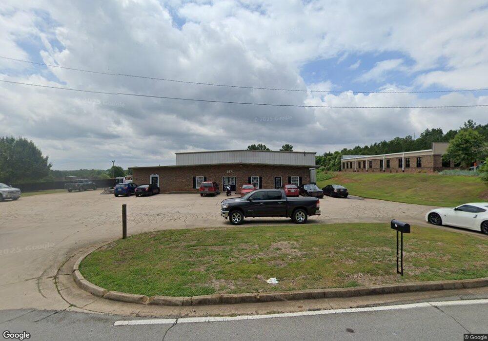
397 E Broad St Winder, GA 30680
Estimated Value: $1,015,084
Studio
--
Bath
11,316
Sq Ft
$90/Sq Ft
Est. Value
About This Home
This home is located at 397 E Broad St, Winder, GA 30680 and is currently estimated at $1,015,084, approximately $89 per square foot. 397 E Broad St is a home located in Barrow County with nearby schools including Holsenbeck Elementary School, Bear Creek Middle School, and Winder-Barrow High School.
Ownership History
Date
Name
Owned For
Owner Type
Purchase Details
Closed on
Jul 29, 2022
Sold by
2 Ks Property Group Llc
Bought by
All Investments Llc
Current Estimated Value
Purchase Details
Closed on
Sep 10, 2010
Sold by
Cbt
Bought by
2 Ks Property Group Llc
Home Financials for this Owner
Home Financials are based on the most recent Mortgage that was taken out on this home.
Original Mortgage
$238,000
Interest Rate
4.6%
Mortgage Type
Commercial
Create a Home Valuation Report for This Property
The Home Valuation Report is an in-depth analysis detailing your home's value as well as a comparison with similar homes in the area
Home Values in the Area
Average Home Value in this Area
Purchase History
| Date | Buyer | Sale Price | Title Company |
|---|---|---|---|
| All Investments Llc | $950,000 | -- | |
| 2 Ks Property Group Llc | $250,000 | -- |
Source: Public Records
Mortgage History
| Date | Status | Borrower | Loan Amount |
|---|---|---|---|
| Previous Owner | 2 Ks Property Group Llc | $238,000 |
Source: Public Records
Tax History
| Year | Tax Paid | Tax Assessment Tax Assessment Total Assessment is a certain percentage of the fair market value that is determined by local assessors to be the total taxable value of land and additions on the property. | Land | Improvement |
|---|---|---|---|---|
| 2025 | $6,701 | $238,216 | $40,540 | $197,676 |
| 2024 | $6,818 | $238,216 | $40,540 | $197,676 |
| 2023 | $7,970 | $238,216 | $40,540 | $197,676 |
| 2022 | $8,491 | $238,216 | $40,540 | $197,676 |
| 2021 | $4,890 | $120,115 | $45,400 | $74,715 |
| 2020 | $4,490 | $120,115 | $45,400 | $74,715 |
| 2019 | $4,547 | $120,115 | $45,400 | $74,715 |
| 2018 | $4,463 | $117,854 | $45,400 | $72,454 |
| 2017 | $3,362 | $112,677 | $45,400 | $67,277 |
| 2016 | $3,126 | $93,112 | $45,400 | $47,712 |
| 2015 | $3,222 | $95,914 | $45,400 | $50,514 |
| 2014 | $2,670 | $78,739 | $25,424 | $53,315 |
| 2013 | -- | $78,222 | $22,246 | $55,976 |
Source: Public Records
Map
Nearby Homes
- 414 Grayson Dr
- 260 Westlyn Way
- 72 Shoal Ct
- 78 Shoal Ct
- 74 Shoal Ct
- 76 Shoal Ct
- 32 Saint Ives Cir Unit 2
- 154 Blake Ln
- 28 Saint Ives Way
- 45 Waverly Ln
- 40 Waverly Ln
- 323 Lumpkin St
- 47 Saint Ives Way
- 427 Shenandoah Ct
- 425 Shenandoah Ct
- 421 Shenandoah Ct
- 227 Martin Luther King jr Dr
- 337 Mary Alice Dr
- 92 Chase Cir
- 317 Georgia Ave
- 0 Lays Dr
- 0 Hwy 82 at Lays Dr Unit 3077726
- 392 E Broad St
- 388 E Broad St
- 10 Saint Ives Way
- 410 Grayson Dr
- 2 Candlewood Terrace
- 0 Grayson Dr Unit 11 3266918
- 12 Saint Ives Way
- 5 Candlewood Terrace Unit 2
- 5 Candlewood Terrace Unit 2
- 5 Candlewood Terrace
- 5 Candlewood Terrace Unit 3
- 417 Grayson Dr
- 398 E Broad St Unit 1
- 398 E Broad St
- 419 Grayson Dr
- 378 E Broad St
- 34 Forest Dr
- 14 Saint Ives Way
Your Personal Tour Guide
Ask me questions while you tour the home.