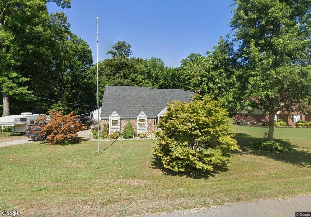
397 Kyllie Dr Millington, TN 38053
Estimated Value: $264,000 - $434,000
--
Bed
3
Baths
2,196
Sq Ft
$156/Sq Ft
Est. Value
About This Home
This home is located at 397 Kyllie Dr, Millington, TN 38053 and is currently estimated at $341,766, approximately $155 per square foot. 397 Kyllie Dr is a home located in Tipton County with nearby schools including Drummonds Elementary School, Munford Middle School, and Munford High School.
Ownership History
Date
Name
Owned For
Owner Type
Purchase Details
Closed on
Jan 30, 2008
Sold by
Adams Bobby E
Bought by
Waldee Gregory S
Current Estimated Value
Home Financials for this Owner
Home Financials are based on the most recent Mortgage that was taken out on this home.
Original Mortgage
$175,150
Outstanding Balance
$110,480
Interest Rate
6.06%
Mortgage Type
VA
Estimated Equity
$231,286
Purchase Details
Closed on
Jun 20, 2006
Bought by
Adams Nancy J Etvir Bobby E
Purchase Details
Closed on
Apr 12, 1999
Sold by
Michael Whitesides
Bought by
Christopher Lawson
Purchase Details
Closed on
Mar 2, 1998
Sold by
Town & Country Development
Bought by
Michael Whitesides
Home Financials for this Owner
Home Financials are based on the most recent Mortgage that was taken out on this home.
Original Mortgage
$78,000
Interest Rate
7.07%
Create a Home Valuation Report for This Property
The Home Valuation Report is an in-depth analysis detailing your home's value as well as a comparison with similar homes in the area
Home Values in the Area
Average Home Value in this Area
Purchase History
| Date | Buyer | Sale Price | Title Company |
|---|---|---|---|
| Waldee Gregory S | $175,000 | -- | |
| Adams Nancy J Etvir Bobby E | $128,500 | -- | |
| Christopher Lawson | $149,900 | -- | |
| Michael Whitesides | $5,000 | -- |
Source: Public Records
Mortgage History
| Date | Status | Borrower | Loan Amount |
|---|---|---|---|
| Open | Michael Whitesides | $175,150 | |
| Previous Owner | Michael Whitesides | $78,000 |
Source: Public Records
Tax History Compared to Growth
Tax History
| Year | Tax Paid | Tax Assessment Tax Assessment Total Assessment is a certain percentage of the fair market value that is determined by local assessors to be the total taxable value of land and additions on the property. | Land | Improvement |
|---|---|---|---|---|
| 2024 | $1,234 | $81,075 | $10,000 | $71,075 |
| 2023 | $1,234 | $81,075 | $10,000 | $71,075 |
| 2022 | $1,168 | $57,250 | $7,350 | $49,900 |
| 2021 | $1,168 | $57,250 | $7,350 | $49,900 |
| 2020 | $1,167 | $57,250 | $7,350 | $49,900 |
| 2019 | $1,085 | $44,850 | $5,650 | $39,200 |
| 2018 | $1,085 | $44,850 | $5,650 | $39,200 |
| 2017 | $1,085 | $44,850 | $5,650 | $39,200 |
| 2016 | $1,085 | $44,850 | $5,650 | $39,200 |
| 2015 | $1,084 | $44,850 | $5,650 | $39,200 |
| 2014 | $1,084 | $44,850 | $0 | $0 |
Source: Public Records
Map
Nearby Homes
- 400 Whippoorwill Cir
- 138 Gayden Dr
- 9640 New Bethel Rd
- 0 Ray Bluff Rd
- 0 Chambers Rd
- 5391 Simmons Rd
- 0 Dixon Rd
- 979 Ray Bluff Rd
- 119 Nancy Dr
- TRACT 9 Powder Plant Dr
- 9430 Monasco Rd
- 9590 Monasco Rd
- 3300 Cuba Millington Rd
- 000 Shelby Rd
- 8130 Julie Cove
- 8159 Epperson Mill Rd
- 1461 Armstrong Rd
- 8205 Shakerag Rd
- 231 Country Meadow Ln
- 1336 Mathis Rd