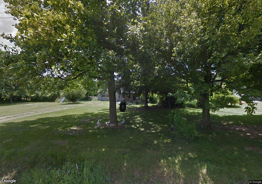
397 Pomerene Rd Mansfield, OH 44906
Estimated Value: $66,500
2
Beds
1
Bath
1,017
Sq Ft
$65/Sq Ft
Est. Value
About This Home
This home is located at 397 Pomerene Rd, Mansfield, OH 44906 and is currently priced at $66,500, approximately $65 per square foot. 397 Pomerene Rd is a home located in Richland County with nearby schools including Foundation Academy, Mansfield Elective Academy, and Interactive Media & Construction (IMAC) Academy.
Ownership History
Date
Name
Owned For
Owner Type
Purchase Details
Closed on
Jun 3, 2020
Sold by
Richland County Land Reutilization Corp
Bought by
Perry Theresa L
Current Estimated Value
Purchase Details
Closed on
Aug 9, 2019
Sold by
Phillips Kenneth
Bought by
Richland County Land Reutilization Corp
Purchase Details
Closed on
Nov 15, 1994
Sold by
Shepherd Nicole
Bought by
Phillips Kenneth
Purchase Details
Closed on
Jun 8, 1993
Sold by
White Patricia L
Bought by
White Patricia L
Purchase Details
Closed on
May 25, 1993
Sold by
Erwin Elmer
Bought by
White Patricia L
Create a Home Valuation Report for This Property
The Home Valuation Report is an in-depth analysis detailing your home's value as well as a comparison with similar homes in the area
Home Values in the Area
Average Home Value in this Area
Purchase History
| Date | Buyer | Sale Price | Title Company |
|---|---|---|---|
| Perry Theresa L | -- | None Available | |
| Richland County Land Reutilization Corp | -- | None Available | |
| Phillips Kenneth | $10,000 | -- | |
| White Patricia L | $3,800 | -- | |
| White Patricia L | -- | -- |
Source: Public Records
Tax History
| Year | Tax Paid | Tax Assessment Tax Assessment Total Assessment is a certain percentage of the fair market value that is determined by local assessors to be the total taxable value of land and additions on the property. | Land | Improvement |
|---|---|---|---|---|
| 2020 | $26 | $0 | $0 | $0 |
| 2019 | $270 | $4,140 | $2,000 | $2,140 |
| 2018 | $159 | $4,140 | $2,000 | $2,140 |
| 2017 | $156 | $4,140 | $2,000 | $2,140 |
| 2016 | $54 | $830 | $500 | $330 |
| 2015 | $54 | $830 | $500 | $330 |
| 2014 | $51 | $830 | $500 | $330 |
| 2012 | $41 | $870 | $520 | $350 |
Source: Public Records
Map
Nearby Homes
- 630 Hanna Rd
- 640 Hanna Rd
- 0 Highway 30
- 891 Springmill Rd
- 572 France St
- 0 Grant Rd Unit 5190994
- 516 Burns St
- 1501 Bowman St
- 701 Springmill St
- 641 Averill Ave
- 880 Fairfax Ave
- 878 Fairfax Ave
- 933 Fairfax Ave
- 492 Stark St
- 761 Fairfax Ave
- 118 Raymond Ave
- 1101 Lenox Ave
- 0 State Route 314 Unit 9069650
- 580 N Mulberry St
- 524 Lida St
- 397 Pomerene Rd
- 423 Pomerene Rd
- 423 Pomerene Rd
- 402 Pomerene Rd
- 377 Pomerene Rd
- 406 Pomerene Rd
- 412 Pomerene Rd
- 382 Pomerene Rd
- 420 Pomerene Rd
- 373 Pomerene Rd
- 413 Harding Rd
- 413 Harding Rd
- 422 Pomerene Rd
- 372 Pomerene Rd
- 368 Pomerene Rd
- 367 Harding Rd
- 406 Harding Rd
- 352 Pomerene Rd
- 363 Harding Rd
- 275 Tower Dr
Your Personal Tour Guide
Ask me questions while you tour the home.