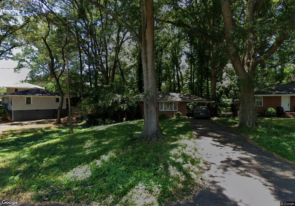
397 Scott Dr SE Unit 1 Marietta, GA 30067
Estimated Value: $258,919 - $305,000
2
Beds
1
Bath
1,087
Sq Ft
$267/Sq Ft
Est. Value
About This Home
This home is located at 397 Scott Dr SE Unit 1, Marietta, GA 30067 and is currently estimated at $290,480, approximately $267 per square foot. 397 Scott Dr SE Unit 1 is a home located in Cobb County with nearby schools including Marietta Sixth Grade Academy, Lockheed Elementary School, and Marietta Middle School.
Ownership History
Date
Name
Owned For
Owner Type
Purchase Details
Closed on
Dec 15, 1998
Sold by
Parsons Sally T
Bought by
Rogers Thomas E and Rogers Melanie J
Current Estimated Value
Home Financials for this Owner
Home Financials are based on the most recent Mortgage that was taken out on this home.
Original Mortgage
$83,903
Outstanding Balance
$23,821
Interest Rate
6.94%
Mortgage Type
FHA
Estimated Equity
$266,659
Purchase Details
Closed on
Feb 28, 1995
Sold by
Stickland John L Patricia
Bought by
Parsons Sally J
Create a Home Valuation Report for This Property
The Home Valuation Report is an in-depth analysis detailing your home's value as well as a comparison with similar homes in the area
Home Values in the Area
Average Home Value in this Area
Purchase History
| Date | Buyer | Sale Price | Title Company |
|---|---|---|---|
| Rogers Thomas E | $85,900 | -- | |
| Parsons Sally J | $63,000 | -- |
Source: Public Records
Mortgage History
| Date | Status | Borrower | Loan Amount |
|---|---|---|---|
| Open | Rogers Thomas E | $83,903 | |
| Closed | Parsons Sally J | $0 |
Source: Public Records
Tax History Compared to Growth
Tax History
| Year | Tax Paid | Tax Assessment Tax Assessment Total Assessment is a certain percentage of the fair market value that is determined by local assessors to be the total taxable value of land and additions on the property. | Land | Improvement |
|---|---|---|---|---|
| 2024 | $148 | $103,620 | $40,000 | $63,620 |
| 2023 | $0 | $86,176 | $30,000 | $56,176 |
| 2022 | $148 | $49,952 | $14,000 | $35,952 |
| 2021 | $155 | $49,952 | $14,000 | $35,952 |
| 2020 | $154 | $52,668 | $14,000 | $38,668 |
| 2019 | $153 | $45,000 | $14,000 | $31,000 |
| 2018 | $153 | $43,108 | $14,000 | $29,108 |
| 2017 | $123 | $43,108 | $14,000 | $29,108 |
| 2016 | $124 | $37,088 | $14,000 | $23,088 |
| 2015 | $133 | $30,248 | $11,200 | $19,048 |
| 2014 | $94 | $21,648 | $0 | $0 |
Source: Public Records
Map
Nearby Homes
- 1722 Crestridge Dr SE
- 1664 Crestridge Dr SE
- 349 Virginia Place SE
- 185 Herbert Dr SE
- 229 Mathews Cir SE
- 706 Twin Brooks Ct SE
- 1821 Clearwater Dr SE
- 2059 Clearwater Dr SE
- 470 Oriole Dr SE
- 1434 James St SE
- 402 Terrydale Dr SE
- 306 Augusta Dr SE
- 1849 Toccata Ln
- 906 Augusta Dr SE
- 2164 Pawnee Dr SE Unit 1
- 57 Sewell Ln
- 1703 Augusta Dr SE
- 2107 Augusta Dr SE
- 3155 Woodberry Ln SE
- 407 Scott Dr SE
- 387 Scott Dr SE
- 417 Scott Dr SE
- 367 Scott Dr SE
- 406 Scott Dr SE
- 390 Scott Dr SE
- 1748 Crestridge Dr SE
- 427 Scott Dr SE
- 1754 Crestridge Dr SE
- 1740 Crestridge Dr SE
- 376 Scott Dr SE
- 1815 Marvin Cir SE
- 1760 Crestridge Dr SE
- 366 Scott Dr SE
- 1817 Marvin Cir SE
- 1770 Crestridge Dr SE
- 492 Scott Dr SE
- 350 Scott Dr SE
- 1774 Crestridge Dr SE
- 1738 Crestridge Dr SE