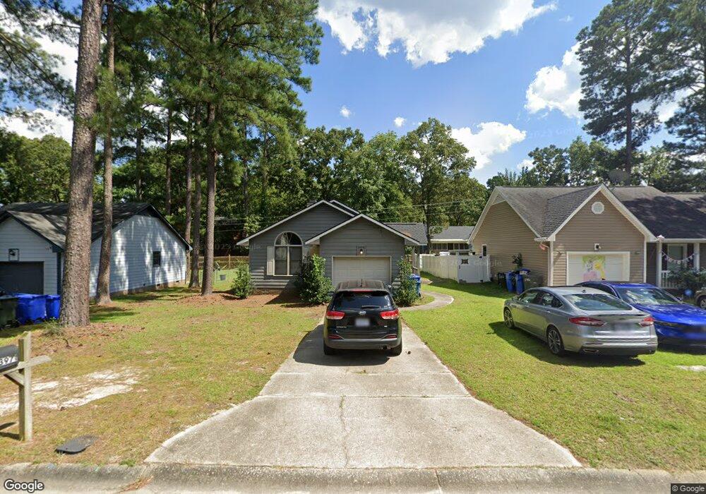
3971 Loufield Dr Fayetteville, NC 28311
Kings Grant NeighborhoodEstimated Value: $163,000 - $183,000
3
Beds
2
Baths
1,105
Sq Ft
$159/Sq Ft
Est. Value
About This Home
This home is located at 3971 Loufield Dr, Fayetteville, NC 28311 and is currently estimated at $176,191, approximately $159 per square foot. 3971 Loufield Dr is a home located in Cumberland County with nearby schools including Warrenwood Elementary, Luther Nick Jeralds Middle School, and E. E. Smith High School.
Ownership History
Date
Name
Owned For
Owner Type
Purchase Details
Closed on
Dec 12, 2006
Sold by
Logan Gary M
Bought by
Anderson Charles
Current Estimated Value
Home Financials for this Owner
Home Financials are based on the most recent Mortgage that was taken out on this home.
Original Mortgage
$85,295
Outstanding Balance
$50,940
Interest Rate
6.29%
Mortgage Type
VA
Estimated Equity
$125,251
Create a Home Valuation Report for This Property
The Home Valuation Report is an in-depth analysis detailing your home's value as well as a comparison with similar homes in the area
Home Values in the Area
Average Home Value in this Area
Purchase History
| Date | Buyer | Sale Price | Title Company |
|---|---|---|---|
| Anderson Charles | $84,000 | -- |
Source: Public Records
Mortgage History
| Date | Status | Borrower | Loan Amount |
|---|---|---|---|
| Open | Anderson Charles | $85,295 |
Source: Public Records
Tax History Compared to Growth
Tax History
| Year | Tax Paid | Tax Assessment Tax Assessment Total Assessment is a certain percentage of the fair market value that is determined by local assessors to be the total taxable value of land and additions on the property. | Land | Improvement |
|---|---|---|---|---|
| 2024 | $2,287 | $94,741 | $16,000 | $78,741 |
| 2023 | $1,716 | $94,646 | $16,000 | $78,646 |
| 2022 | $1,510 | $94,646 | $16,000 | $78,646 |
| 2021 | $1,510 | $94,646 | $16,000 | $78,646 |
| 2019 | $1,475 | $89,100 | $16,000 | $73,100 |
| 2018 | $1,475 | $89,100 | $16,000 | $73,100 |
| 2017 | $1,372 | $89,100 | $16,000 | $73,100 |
| 2016 | $1,181 | $84,200 | $16,000 | $68,200 |
| 2015 | $1,169 | $84,200 | $16,000 | $68,200 |
| 2014 | $1,162 | $84,200 | $16,000 | $68,200 |
Source: Public Records
Map
Nearby Homes
- 3963 Loufield Dr
- 901 Drew Ct
- 4040 Rosehill Rd
- 626 Pleasant Loop
- 822 Southview Cir
- 810 Southview Cir
- 780 Joefield Dr
- 3626 Thorndike Dr
- 750 Magellan Ct
- 3609 Daughtridge Dr
- 3611 Thorndike Dr
- 4621 Rosehill Rd
- 715 Brougham Rd
- 4737 Rosehill Rd
- 741 Southview Cir
- 4402 Bluff St
- 3709 Clearwater Dr
- 3539 Rolls Ave
- 3975 Loufield Dr
- 3967 Loufield Dr
- 3979 Loufield Dr
- 3964 Loufield Dr
- 3924 Foster Dr
- 3920 Foster Dr
- 3916 Foster Dr
- 3983 Loufield Dr
- 3959 Loufield Dr
- 3978 Loufield Dr
- 3982 Loufield Dr
- 3912 Foster Dr
- 3928 Foster Dr
- 3970 Loufield Dr
- 3986 Loufield Dr
- 3987 Loufield Dr
- 3955 Loufield Dr
- 3932 Foster Dr
- 3966 Loufield Dr
- 3908 Foster Dr