39747 850th Ave Lewisville, MN 56060
Estimated Value: $545,889
3
Beds
2
Baths
636
Sq Ft
$858/Sq Ft
Est. Value
About This Home
This home is located at 39747 850th Ave, Lewisville, MN 56060 and is currently estimated at $545,889, approximately $858 per square foot. 39747 850th Ave is a home located in Watonwan County with nearby schools including Truman Elementary School and Truman Secondary School.
Create a Home Valuation Report for This Property
The Home Valuation Report is an in-depth analysis detailing your home's value as well as a comparison with similar homes in the area
Home Values in the Area
Average Home Value in this Area
Tax History Compared to Growth
Tax History
| Year | Tax Paid | Tax Assessment Tax Assessment Total Assessment is a certain percentage of the fair market value that is determined by local assessors to be the total taxable value of land and additions on the property. | Land | Improvement |
|---|---|---|---|---|
| 2025 | $4,726 | $647,500 | $79,300 | $568,200 |
| 2024 | $3,744 | $659,200 | $82,500 | $576,700 |
| 2023 | $3,472 | $578,700 | $82,500 | $496,200 |
| 2022 | $2,854 | $437,600 | $73,300 | $364,300 |
| 2021 | $2,754 | $317,300 | $39,200 | $278,100 |
| 2020 | $2,742 | $317,300 | $40,500 | $276,800 |
| 2019 | $2,846 | $334,500 | $40,500 | $294,000 |
| 2018 | $2,606 | $333,200 | $39,200 | $294,000 |
| 2016 | $1,638 | $229,500 | $41,500 | $188,000 |
| 2014 | -- | $208,000 | $40,700 | $167,300 |
Source: Public Records
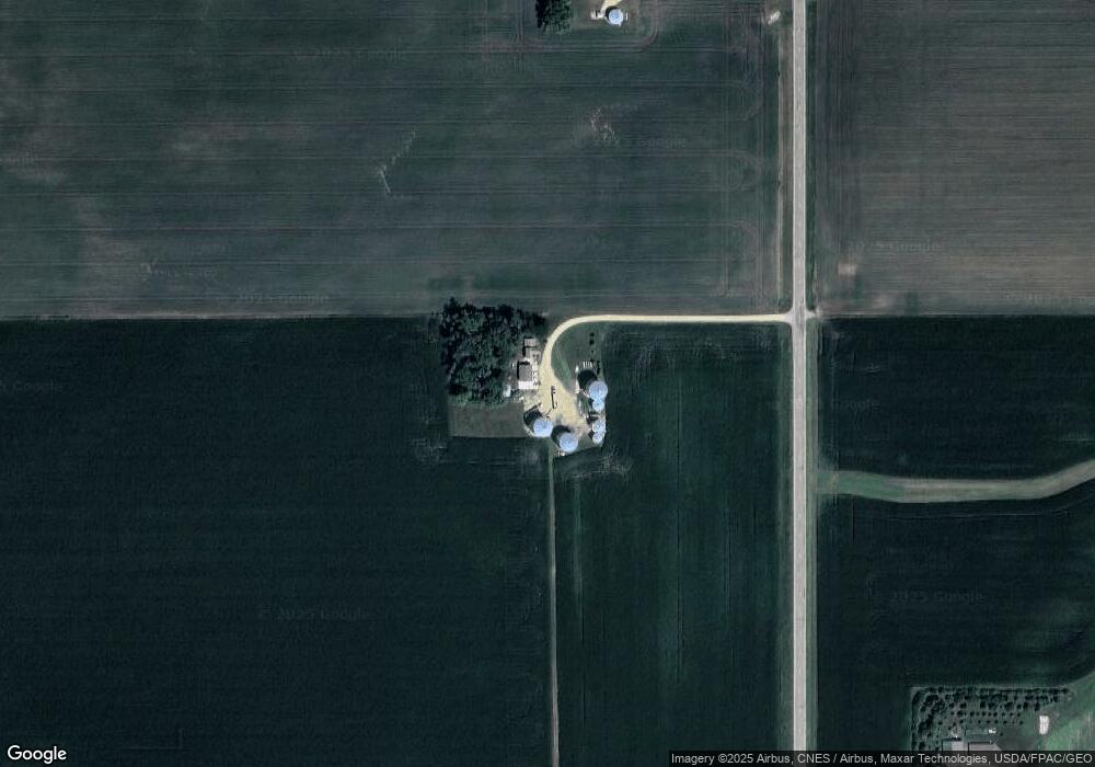
Map
Nearby Homes
- 43637 State Highway 15
- 2404 State Highway 15
- 413 N 1st Ave W
- 226 N Central Ave
- 114 N 2nd Ave E
- 217 N Central Ave
- 225 S 7th Ave E Unit E
- 402 E 2nd St N
- 865 Mill Race Rd
- 515 Benzel Ave SW
- 515 Drew Ave SE
- 21 1st St SE
- 12 E Main St
- 7 Dill Ave SW
- 1958 State Highway 15
- 22 Estes Ave NW
- 413 North St W
- 201 Park Ave N
- 200 W Maine St
- 205 Park Ave N