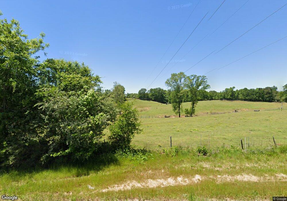
3975 Highway 63 Carnesville, GA 30521
Estimated Value: $587,000 - $862,000
5
Beds
4
Baths
3,168
Sq Ft
$227/Sq Ft
Est. Value
About This Home
This home is located at 3975 Highway 63, Carnesville, GA 30521 and is currently estimated at $718,079, approximately $226 per square foot. 3975 Highway 63 is a home located in Banks County with nearby schools including Banks County Primary School, Banks County Elementary School, and Banks County Middle School.
Ownership History
Date
Name
Owned For
Owner Type
Purchase Details
Closed on
Nov 6, 2020
Sold by
Hill Andy Felton
Bought by
Hill Andy Felton and Hill Barbara J
Current Estimated Value
Purchase Details
Closed on
Feb 25, 2020
Sold by
Pittman Beckie Elaine
Bought by
Major Courney
Purchase Details
Closed on
Feb 20, 2020
Sold by
Osborne Tony C
Bought by
Pittman Beckie Elaine
Purchase Details
Closed on
Jan 31, 2020
Sold by
Pittman Beckie Elaine
Bought by
Osborne Tony C and Osborne Sheila
Purchase Details
Closed on
May 26, 2016
Sold by
Osborne Robbie Lee Ayers
Bought by
Osborne Tony C and Osborne Beckie Elaine
Create a Home Valuation Report for This Property
The Home Valuation Report is an in-depth analysis detailing your home's value as well as a comparison with similar homes in the area
Home Values in the Area
Average Home Value in this Area
Purchase History
| Date | Buyer | Sale Price | Title Company |
|---|---|---|---|
| Hill Andy Felton | -- | -- | |
| Major Courney | -- | -- | |
| Hill Andy Felton | -- | -- | |
| Pittman Beckie Elaine | -- | -- | |
| Osborne Tony C | -- | -- | |
| Osborne Tony C | -- | -- |
Source: Public Records
Tax History Compared to Growth
Tax History
| Year | Tax Paid | Tax Assessment Tax Assessment Total Assessment is a certain percentage of the fair market value that is determined by local assessors to be the total taxable value of land and additions on the property. | Land | Improvement |
|---|---|---|---|---|
| 2025 | $3,826 | $259,774 | $62,472 | $197,302 |
| 2024 | $3,826 | $247,664 | $56,792 | $190,872 |
| 2023 | $3,158 | $214,695 | $50,073 | $164,622 |
| 2022 | $3,234 | $180,090 | $35,724 | $144,366 |
| 2021 | $3,221 | $174,576 | $40,327 | $134,249 |
| 2020 | $3,221 | $206,992 | $45,223 | $161,769 |
| 2019 | -- | $206,992 | $45,223 | $161,769 |
| 2018 | -- | $195,985 | $45,223 | $150,762 |
| 2017 | $4,114 | $191,489 | $39,325 | $152,164 |
| 2016 | $3,510 | $181,034 | $39,325 | $141,709 |
Source: Public Records
Map
Nearby Homes
- 4638 Highway 63
- 2205 Highway 51 N
- 135 Canters Run
- 262 Garrison Rd
- 14 Kristy Ln
- 150 Garrison Rd
- 0 Poplar Mountain Ln
- 1313 Damascus Rd
- 108 Indigo Cir
- 0 Banks Academy Rd Unit 10636762
- 2526 Prospect Rd
- 2630 Prospect Rd
- 0 Falcon Ln Unit 10495019
- 0 Falcon Ln Unit 1024877
- 6343 Georgia 198
- 152 Charity Dr
- 4001 Highway 198
- 160 Greenview Ct
- 176 Greenview Ct
- 164 Greenview Ct
- 3896 Highway 63
- 3729 Highway 63
- 428 Wynn Caudell Rd
- 340 Wynn Caudell Rd
- 4274 Highway 198
- 4464 Highway 198
- 3665 Highway 63
- 3729 Georgia 63
- 3276 Georgia 63
- 4465 Highway 198
- 1209 Highway 198
- 4126 Highway 63
- 4175 Highway 198
- 424 Bruce Kesler Rd
- 4215 Highway 63
- 4215 Georgia 63
- 00 Ga Hwy 63
- 401 Partan Rd
- 4563 Highway 198
- 432 Bruce Kesler Rd
