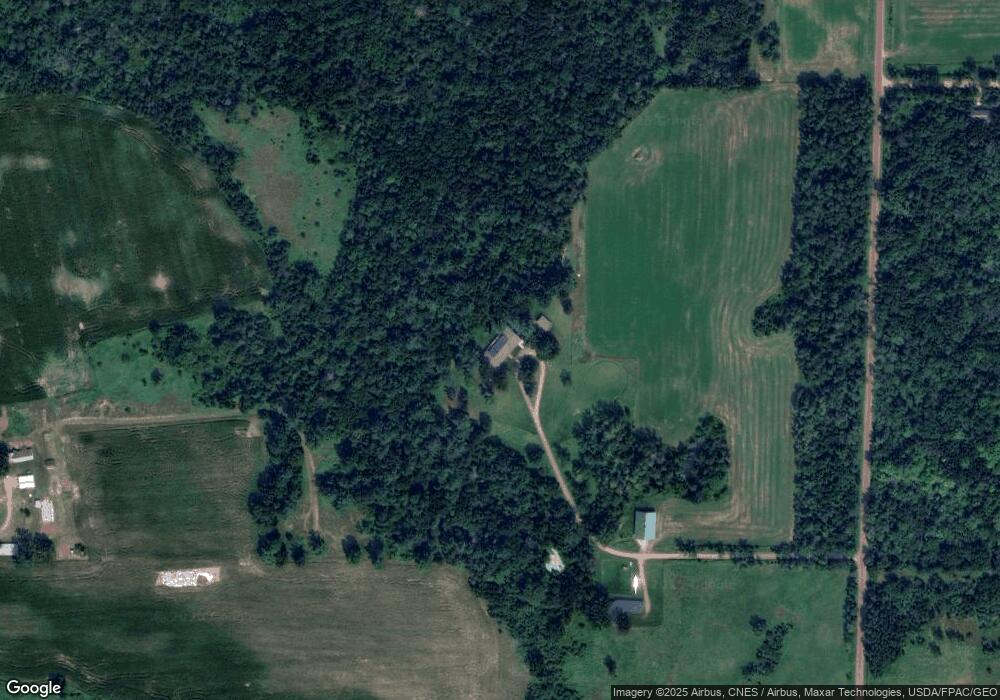
39750 Poor Farm Rd North Branch, MN 55056
Estimated Value: $548,000 - $957,656
4
Beds
2
Baths
4,064
Sq Ft
$190/Sq Ft
Est. Value
About This Home
This home is located at 39750 Poor Farm Rd, North Branch, MN 55056 and is currently estimated at $772,552, approximately $190 per square foot. 39750 Poor Farm Rd is a home located in Chisago County with nearby schools including North Branch Middle School, Sunrise River Elementary School, and North Branch Senior High School.
Ownership History
Date
Name
Owned For
Owner Type
Purchase Details
Closed on
Nov 7, 1996
Sold by
Honadle George H and Honadle Beth W
Bought by
Mccarthy James P and Noordergraaf Jeske I
Current Estimated Value
Create a Home Valuation Report for This Property
The Home Valuation Report is an in-depth analysis detailing your home's value as well as a comparison with similar homes in the area
Home Values in the Area
Average Home Value in this Area
Purchase History
| Date | Buyer | Sale Price | Title Company |
|---|---|---|---|
| Mccarthy James P | $317,000 | -- |
Source: Public Records
Tax History Compared to Growth
Tax History
| Year | Tax Paid | Tax Assessment Tax Assessment Total Assessment is a certain percentage of the fair market value that is determined by local assessors to be the total taxable value of land and additions on the property. | Land | Improvement |
|---|---|---|---|---|
| 2023 | $6,848 | $786,600 | $0 | $0 |
| 2022 | $6,560 | $659,000 | $0 | $0 |
| 2021 | $5,120 | $548,300 | $0 | $0 |
| 2020 | $5,500 | $480,800 | $150,300 | $330,500 |
| 2019 | $4,852 | $0 | $0 | $0 |
| 2018 | $4,474 | $0 | $0 | $0 |
| 2017 | $4,044 | $0 | $0 | $0 |
| 2016 | $3,778 | $0 | $0 | $0 |
| 2015 | $4,628 | $0 | $0 | $0 |
| 2014 | -- | $339,300 | $0 | $0 |
Source: Public Records
Map
Nearby Homes
- 39529 Trulson Rd
- 12214 Sunrise Rd
- 10869 Haycreek Rd
- TBD Keystone Ave
- Parcel C Keystone Ave
- TBD Keystone Ave
- 15535 375th St
- 38621 July Ave
- 16030 Maple Ln
- 35887 Oasis Rd
- 149xx 360th St
- 15260 360th St
- TBD Joywood Ave
- 35420 Oasis Rd
- 2630 320th St
- 35647 Oxford Ave
- 35713 Patriot Ave
- 8222 Hummingbird Ln
- 9484 Sunrise Rd
- 7758 Saint Croix Trail
- 39800 Poor Farm Rd
- 39765 Sunrise Rd
- 13353 400th St
- 13481 400th St
- 41124 Poor Farm Rd
- 39932 Sunrise Rd
- 39515 Sunrise Rd
- 39425 Poor Farm Rd
- xxxxx Poor Farm Rd
- 40203 Sunrise Rd
- 39375 Sunrise Rd
- 39318 Poor Farm Rd
- 40315 Sunrise Rd
- 12545 400th St
- 40468 Poor Farm Rd
- 13757 400th St
- 39742 Sunrise Rd
- 39303 Poor Farm Rd
- 39231 Sunrise Rd
- 40485 Sunrise Rd