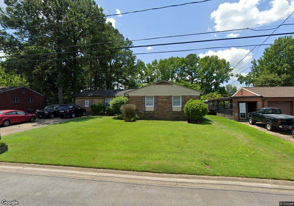
3977 Port Rd Chesapeake, VA 23321
Western Branch NeighborhoodEstimated Value: $302,000 - $329,548
3
Beds
2
Baths
1,749
Sq Ft
$180/Sq Ft
Est. Value
About This Home
This home is located at 3977 Port Rd, Chesapeake, VA 23321 and is currently estimated at $314,887, approximately $180 per square foot. 3977 Port Rd is a home located in Chesapeake City with nearby schools including Southwestern Elementary School, Jolliff Middle School, and Western Branch High School.
Ownership History
Date
Name
Owned For
Owner Type
Purchase Details
Closed on
Nov 5, 2019
Sold by
Sparrow Doris A
Bought by
Winborne Nicole D
Current Estimated Value
Home Financials for this Owner
Home Financials are based on the most recent Mortgage that was taken out on this home.
Original Mortgage
$182,631
Outstanding Balance
$162,290
Interest Rate
4.12%
Mortgage Type
FHA
Estimated Equity
$152,597
Create a Home Valuation Report for This Property
The Home Valuation Report is an in-depth analysis detailing your home's value as well as a comparison with similar homes in the area
Home Values in the Area
Average Home Value in this Area
Purchase History
| Date | Buyer | Sale Price | Title Company |
|---|---|---|---|
| Winborne Nicole D | $210,000 | First American Title |
Source: Public Records
Mortgage History
| Date | Status | Borrower | Loan Amount |
|---|---|---|---|
| Open | Winborne Nicole D | $182,631 |
Source: Public Records
Tax History Compared to Growth
Tax History
| Year | Tax Paid | Tax Assessment Tax Assessment Total Assessment is a certain percentage of the fair market value that is determined by local assessors to be the total taxable value of land and additions on the property. | Land | Improvement |
|---|---|---|---|---|
| 2025 | $2,706 | $274,400 | $120,000 | $154,400 |
| 2024 | $2,706 | $267,900 | $120,000 | $147,900 |
| 2023 | $2,515 | $249,000 | $110,000 | $139,000 |
| 2022 | $2,233 | $221,100 | $80,000 | $141,100 |
| 2021 | $2,003 | $190,800 | $65,000 | $125,800 |
| 2020 | $1,924 | $183,200 | $65,000 | $118,200 |
| 2019 | $1,893 | $180,300 | $55,000 | $125,300 |
| 2018 | $1,809 | $153,800 | $50,000 | $103,800 |
| 2017 | $1,723 | $164,100 | $55,000 | $109,100 |
| 2016 | $1,596 | $152,000 | $50,000 | $102,000 |
| 2015 | $1,596 | $152,000 | $50,000 | $102,000 |
| 2014 | $1,596 | $152,000 | $50,000 | $102,000 |
Source: Public Records
Map
Nearby Homes
- 4305 Mast Head Way
- 4232 Schooner Trail
- 4132 Taughtline Loop
- 4308 Center Mast Crest
- 4183 Taughtline Loop
- 4195 Taughtline Loop
- 3931 Port Rd
- 4019 Sea Cliff Rd
- 3861 Ahoy Dr
- 4020 Sea Cliff Rd
- 4235 Meander Way
- 3940 Starboard Rd
- 4150 River Breeze Cir
- 1704 Rowlock Ct
- 407 Bobby Jones Dr
- 4052 Sunkist Rd
- 1813 Rowlock Rd
- 1821 Spar St
- 29 Fairway Dr
- 605 Chandler Harper Dr
- 3981 Port Rd
- 3973 Port Rd
- 3976 Port Rd
- 3985 Port Rd
- 3969 Port Rd
- 3980 Port Rd
- 3972 Port Rd
- 4001 Port Rd
- 4212 Schooner Trail
- 4208 Schooner Trail
- 4216 Schooner Trail
- 3968 Port Rd
- 3937 Sextant St
- 3941 Sextant St
- 1600 Gaff Rd
- 3965 Port Rd
- 4204 Schooner Trail
- 3933 Sextant St
- 4100 Sail Ct
- 4218 Schooner Trail