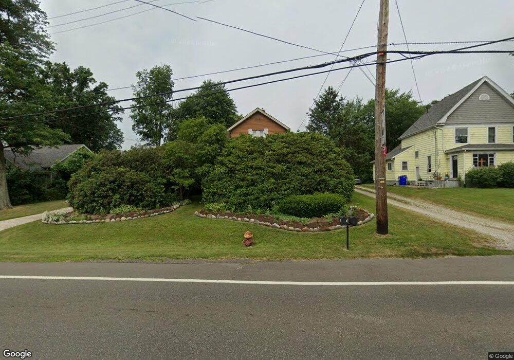
3979 State Route 44 Rootstown, OH 44272
Estimated Value: $198,000 - $347,000
4
Beds
3
Baths
2,550
Sq Ft
$109/Sq Ft
Est. Value
About This Home
This home is located at 3979 State Route 44, Rootstown, OH 44272 and is currently estimated at $277,404, approximately $108 per square foot. 3979 State Route 44 is a home located in Portage County with nearby schools including Rootstown Middle School - Schnee Building and Rootstown High School.
Ownership History
Date
Name
Owned For
Owner Type
Purchase Details
Closed on
Aug 27, 1999
Sold by
Rinehart Wanda M
Bought by
Nash Kevin G and Nash Ottilia Y
Current Estimated Value
Home Financials for this Owner
Home Financials are based on the most recent Mortgage that was taken out on this home.
Original Mortgage
$20,000
Interest Rate
7.77%
Mortgage Type
Credit Line Revolving
Create a Home Valuation Report for This Property
The Home Valuation Report is an in-depth analysis detailing your home's value as well as a comparison with similar homes in the area
Purchase History
| Date | Buyer | Sale Price | Title Company |
|---|---|---|---|
| Nash Kevin G | $135,000 | -- |
Source: Public Records
Mortgage History
| Date | Status | Borrower | Loan Amount |
|---|---|---|---|
| Closed | Nash Kevin G | $20,000 | |
| Closed | Nash Kevin G | $145,000 |
Source: Public Records
Tax History
| Year | Tax Paid | Tax Assessment Tax Assessment Total Assessment is a certain percentage of the fair market value that is determined by local assessors to be the total taxable value of land and additions on the property. | Land | Improvement |
|---|---|---|---|---|
| 2024 | $2,775 | $75,890 | $9,280 | $66,610 |
| 2023 | $2,791 | $59,720 | $8,160 | $51,560 |
| 2022 | $2,743 | $59,720 | $8,160 | $51,560 |
| 2021 | $2,725 | $59,720 | $8,160 | $51,560 |
| 2020 | $2,442 | $51,450 | $7,770 | $43,680 |
| 2019 | $2,450 | $51,450 | $7,770 | $43,680 |
| 2017 | $2,080 | $41,130 | $8,300 | $32,830 |
| 2016 | $2,012 | $41,130 | $8,300 | $32,830 |
Source: Public Records
Map
Nearby Homes
- 4079 Siefer Dr
- 3701 State Route 44
- 3689 Cherry Hill
- 0 Lynn Rd Unit 5110102
- V/L 2 Lynn Rd
- V/L Lynn Rd
- 4415 Farmette Dr
- 4691 Scenic Dr
- 4225 Hattrick Rd
- sub lot Lane Ave
- 4556 Rootstown Rd
- 3637 Old Forge Rd
- 4140 Sandy Lake Rd
- 0 Tallmadge Rd Unit 5189301
- 0 Tallmadge Rd Unit 5189314
- 3021 Hartville Rd
- 4058 Bayberry Knoll Ln
- 3925 Summit Rd
- 5271 Aspen Meadow Dr
- 3080 Saxe Rd
- 3987 State Route 44
- 3969 State Route 44
- 3995 State Route 44
- 3972 State Route 44
- 3959 State Route 44
- 3955 State Route 44
- 4003 State Route 44
- 3947 State Route 44
- 3958 State Route 44
- 4136 Tallmadge Rd
- 3944 State Route 44
- Tallmadge Rd
- 3937 State Route 44
- 3932 State Route 44
- V/L Muzzy Rd
- 4202 Tallmadge Rd
- 4169 Tallmadge Rd
- 4124 Tallmadge Rd
- 3949 Cook Rd
- 3915 State Route 44
Your Personal Tour Guide
Ask me questions while you tour the home.