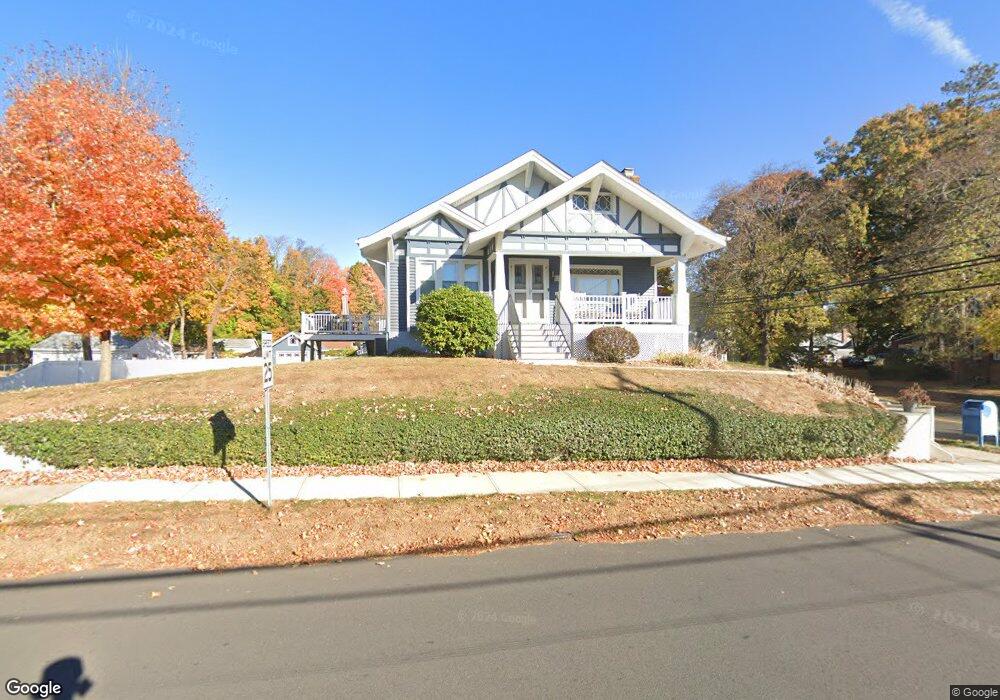
398 Commonwealth Ave New Britain, CT 06053
Estimated Value: $321,000 - $348,877
3
Beds
2
Baths
1,405
Sq Ft
$235/Sq Ft
Est. Value
About This Home
This home is located at 398 Commonwealth Ave, New Britain, CT 06053 and is currently estimated at $329,719, approximately $234 per square foot. 398 Commonwealth Ave is a home located in Hartford County with nearby schools including Holmes School, Pulaski Middle School, and St. Francis of Assisi Middle School.
Ownership History
Date
Name
Owned For
Owner Type
Purchase Details
Closed on
Mar 31, 1992
Sold by
Mcveigh Kevin and Mcveigh Candice
Bought by
Burch Michael I and Burch Paula
Current Estimated Value
Create a Home Valuation Report for This Property
The Home Valuation Report is an in-depth analysis detailing your home's value as well as a comparison with similar homes in the area
Home Values in the Area
Average Home Value in this Area
Purchase History
| Date | Buyer | Sale Price | Title Company |
|---|---|---|---|
| Burch Michael I | $107,500 | -- |
Source: Public Records
Mortgage History
| Date | Status | Borrower | Loan Amount |
|---|---|---|---|
| Open | Burch Michael I | $60,000 | |
| Closed | Burch Michael I | $50,000 |
Source: Public Records
Tax History Compared to Growth
Tax History
| Year | Tax Paid | Tax Assessment Tax Assessment Total Assessment is a certain percentage of the fair market value that is determined by local assessors to be the total taxable value of land and additions on the property. | Land | Improvement |
|---|---|---|---|---|
| 2025 | $7,542 | $192,500 | $79,380 | $113,120 |
| 2024 | $7,621 | $192,500 | $79,380 | $113,120 |
| 2023 | $7,160 | $187,040 | $79,380 | $107,660 |
| 2022 | $5,769 | $116,550 | $36,540 | $80,010 |
| 2021 | $5,769 | $116,550 | $36,540 | $80,010 |
| 2020 | $5,886 | $116,550 | $36,540 | $80,010 |
| 2019 | $5,769 | $114,240 | $36,540 | $77,700 |
| 2018 | $5,769 | $114,240 | $36,540 | $77,700 |
| 2017 | $5,585 | $110,600 | $33,320 | $77,280 |
| 2016 | $5,532 | $109,550 | $33,320 | $76,230 |
| 2015 | $5,368 | $109,550 | $33,320 | $76,230 |
| 2014 | $5,368 | $109,550 | $33,320 | $76,230 |
Source: Public Records
Map
Nearby Homes
- 335 Commonwealth Ave
- 53 Park Dr
- 34 Oneida St
- 51 Tunxis St
- 1634 Stanley St
- 258 Eddy Glover Blvd
- 91 Brighton St
- 16 Vincent Ave
- 426 Allen St
- 1403 Stanley St
- 394 Mcclintock St
- 108 Commonwealth Ave
- 262 Tremont St
- 227 Amherst St
- 220 Lasalle St Unit B4
- 83 Kim Dr
- 107 Allen St
- 31 Acorn St
- 84 Barbour Rd
- 37 Recano Rd
- 244 Carlton St
- 384 Commonwealth Ave
- 248 Carlton St
- 410 Commonwealth Ave
- 218 Carlton St
- 378 Commonwealth Ave
- 260 Carlton St
- 19 Seneca St
- 247 Carlton St
- 251 Carlton St
- 217 Carlton St
- 372 Commonwealth Ave
- 420 Commonwealth Ave
- 210 Carlton St
- 385 Commonwealth Ave
- 27 Seneca St
- 264 Carlton St
- 421 Commonwealth Ave
- 424 Commonwealth Ave
- 255 Carlton St