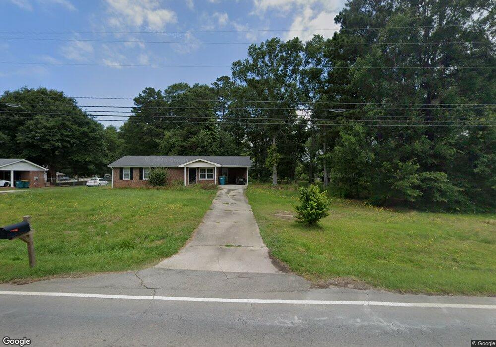
398 E Broad St Unit 1 Winder, GA 30680
Estimated Value: $365,000 - $482,000
3
Beds
2
Baths
2,268
Sq Ft
$188/Sq Ft
Est. Value
About This Home
This home is located at 398 E Broad St Unit 1, Winder, GA 30680 and is currently estimated at $425,578, approximately $187 per square foot. 398 E Broad St Unit 1 is a home located in Barrow County with nearby schools including Holsenbeck Elementary School, Bear Creek Middle School, and Winder-Barrow High School.
Ownership History
Date
Name
Owned For
Owner Type
Purchase Details
Closed on
Oct 29, 2020
Sold by
C & E Real Estate Inc
Bought by
Britt Angelia
Current Estimated Value
Home Financials for this Owner
Home Financials are based on the most recent Mortgage that was taken out on this home.
Original Mortgage
$292,602
Outstanding Balance
$258,248
Interest Rate
2.8%
Mortgage Type
FHA
Estimated Equity
$167,330
Purchase Details
Closed on
Apr 7, 2020
Sold by
Holliday Roxanna R
Bought by
C & E Real Estate Inc
Purchase Details
Closed on
Aug 15, 2018
Sold by
Holliday Donald Allen
Bought by
Holliday Roxanna R
Create a Home Valuation Report for This Property
The Home Valuation Report is an in-depth analysis detailing your home's value as well as a comparison with similar homes in the area
Home Values in the Area
Average Home Value in this Area
Purchase History
| Date | Buyer | Sale Price | Title Company |
|---|---|---|---|
| Britt Angelia | $298,000 | -- | |
| C & E Real Estate Inc | $150,000 | -- | |
| Holliday Roxanna R | -- | -- |
Source: Public Records
Mortgage History
| Date | Status | Borrower | Loan Amount |
|---|---|---|---|
| Open | Britt Angelia | $292,602 |
Source: Public Records
Tax History Compared to Growth
Tax History
| Year | Tax Paid | Tax Assessment Tax Assessment Total Assessment is a certain percentage of the fair market value that is determined by local assessors to be the total taxable value of land and additions on the property. | Land | Improvement |
|---|---|---|---|---|
| 2024 | $3,301 | $120,145 | $17,880 | $102,265 |
| 2023 | $2,794 | $120,145 | $17,880 | $102,265 |
| 2022 | $3,295 | $97,341 | $17,880 | $79,461 |
| 2021 | $3,500 | $97,341 | $17,880 | $79,461 |
| 2020 | $1,995 | $56,828 | $24,435 | $32,393 |
| 2019 | $1,890 | $52,817 | $24,435 | $28,382 |
| 2018 | $1,886 | $52,817 | $24,435 | $28,382 |
| 2017 | $1,440 | $48,263 | $24,435 | $23,828 |
| 2016 | $1,645 | $48,263 | $24,435 | $23,828 |
| 2015 | $1,646 | $48,263 | $24,435 | $23,828 |
| 2014 | $1,241 | $35,801 | $11,973 | $23,828 |
| 2013 | -- | $34,208 | $11,973 | $22,235 |
Source: Public Records
Map
Nearby Homes
- 398 E Broad St
- 5 Candlewood Terrace Unit 2
- 5 Candlewood Terrace Unit 2
- 5 Candlewood Terrace
- 5 Candlewood Terrace Unit 3
- 9 Candlewood Terrace
- 392 E Broad St
- 388 E Broad St
- 28 Saint Ives Cir
- 26 Saint Ives Cir
- 6 Candlewood Terrace
- 6 Candlewood Terrace Unit 1
- 2 Candlewood Terrace
- 24 Saint Ives Cir
- 8 Candlewood Terrace Unit 2
- 8 Candlewood Terrace
- 378 E Broad St
- 0 Hwy 82 at Lays Dr Unit 3077726
- 10 Candlewood Terrace
- 0 Lays Dr