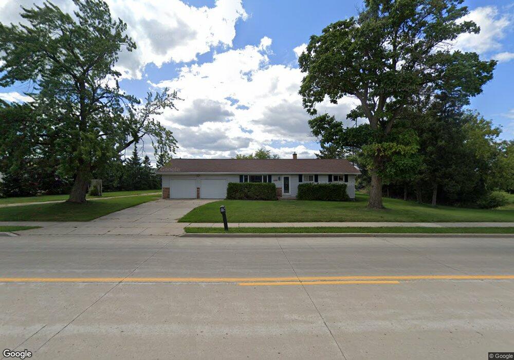
398 High St Wrightstown, WI 54180
Estimated Value: $254,000 - $434,000
Studio
--
Bath
--
Sq Ft
43,168
Sq Ft Lot
About This Home
This home is located at 398 High St, Wrightstown, WI 54180 and is currently estimated at $319,036. 398 High St is a home located in Brown County with nearby schools including Wrightstown Elementary School, Wrightstown Middle School, and Wrightstown High School.
Ownership History
Date
Name
Owned For
Owner Type
Purchase Details
Closed on
May 2, 2013
Sold by
Heimbuch George
Bought by
State Of Wisconsin
Current Estimated Value
Purchase Details
Closed on
Apr 25, 2001
Sold by
Ederer Todd G and Ederer Lisa A
Bought by
Heimbuch George
Home Financials for this Owner
Home Financials are based on the most recent Mortgage that was taken out on this home.
Original Mortgage
$120,250
Interest Rate
7.07%
Create a Home Valuation Report for This Property
The Home Valuation Report is an in-depth analysis detailing your home's value as well as a comparison with similar homes in the area
Home Values in the Area
Average Home Value in this Area
Purchase History
| Date | Buyer | Sale Price | Title Company |
|---|---|---|---|
| State Of Wisconsin | -- | None Available | |
| Heimbuch George | $124,000 | Bay Title & Abstract Inc |
Source: Public Records
Mortgage History
| Date | Status | Borrower | Loan Amount |
|---|---|---|---|
| Previous Owner | Heimbuch George | $120,250 |
Source: Public Records
Tax History
| Year | Tax Paid | Tax Assessment Tax Assessment Total Assessment is a certain percentage of the fair market value that is determined by local assessors to be the total taxable value of land and additions on the property. | Land | Improvement |
|---|---|---|---|---|
| 2025 | $3,356 | $214,600 | $49,500 | $165,100 |
| 2024 | $2,935 | $214,600 | $49,500 | $165,100 |
| 2023 | $3,159 | $214,600 | $49,500 | $165,100 |
| 2022 | $3,028 | $135,000 | $37,100 | $97,900 |
| 2021 | $2,929 | $135,000 | $37,100 | $97,900 |
| 2020 | $2,897 | $135,000 | $37,100 | $97,900 |
| 2019 | $2,721 | $135,000 | $37,100 | $97,900 |
| 2018 | $2,551 | $135,000 | $37,100 | $97,900 |
| 2017 | $2,426 | $121,700 | $29,000 | $92,700 |
| 2016 | $2,518 | $121,700 | $29,000 | $92,700 |
| 2015 | $2,650 | $121,700 | $29,000 | $92,700 |
| 2014 | -- | $121,700 | $29,000 | $92,700 |
| 2013 | -- | $132,600 | $29,000 | $103,600 |
Source: Public Records
Map
Nearby Homes
- 544 Nicole Ln
- 548 Nicole Ln
- 30 Golden Wheat Ln
- 309 Louise Dr
- 735 Park St
- 361 Main St
- 119 Main St
- 4207 Lost Dauphin Rd
- 4079 Lost Dauphin Rd
- 113 Beckerae Ct
- 3943 Jordan William Way
- 248 Kerrigan Dr
- 278 Kerrigan Dr
- 269 Kerrigan Dr
- 308 Kerrigan Dr
- 263 Kerrigan Dr
- 302 Kerrigan Dr
- 230 Kerrigan Dr
- 3979 Lost Dauphin Rd
- 115 Theunis Dr
Your Personal Tour Guide
Ask me questions while you tour the home.