398 Honey Bear Ln Unit 13 Dillard, GA 30537
Estimated Value: $407,000 - $531,000
3
Beds
3
Baths
1,920
Sq Ft
$245/Sq Ft
Est. Value
About This Home
This home is located at 398 Honey Bear Ln Unit 13, Dillard, GA 30537 and is currently estimated at $471,054, approximately $245 per square foot. 398 Honey Bear Ln Unit 13 is a home located in Rabun County with nearby schools including Rabun County Primary School and Rabun County High School.
Ownership History
Date
Name
Owned For
Owner Type
Purchase Details
Closed on
Aug 25, 2020
Sold by
Horton Barbara O
Bought by
Ferunden Rebecca Carter and Ferunden Michael Charles
Current Estimated Value
Home Financials for this Owner
Home Financials are based on the most recent Mortgage that was taken out on this home.
Original Mortgage
$275,500
Outstanding Balance
$242,816
Interest Rate
2.9%
Mortgage Type
New Conventional
Estimated Equity
$228,238
Purchase Details
Closed on
Jan 1, 2000
Purchase Details
Closed on
Nov 1, 1998
Bought by
Horton Barbara O Trust
Purchase Details
Closed on
Apr 1, 1991
Purchase Details
Closed on
Sep 1, 1989
Purchase Details
Closed on
Nov 1, 1985
Create a Home Valuation Report for This Property
The Home Valuation Report is an in-depth analysis detailing your home's value as well as a comparison with similar homes in the area
Home Values in the Area
Average Home Value in this Area
Purchase History
| Date | Buyer | Sale Price | Title Company |
|---|---|---|---|
| Ferunden Rebecca Carter | $290,000 | -- | |
| Ferunden Rebecca Carter | $290,000 | -- | |
| -- | -- | -- | |
| -- | -- | -- | |
| Horton Barbara O Trust | $185,000 | -- | |
| Horton Barbara O Trust | $185,000 | -- | |
| -- | $22,000 | -- | |
| -- | $22,000 | -- | |
| -- | $19,000 | -- | |
| -- | $19,000 | -- | |
| -- | $14,000 | -- | |
| -- | $14,000 | -- |
Source: Public Records
Mortgage History
| Date | Status | Borrower | Loan Amount |
|---|---|---|---|
| Open | Ferunden Rebecca Carter | $275,500 | |
| Closed | Ferunden Rebecca Carter | $275,500 |
Source: Public Records
Tax History Compared to Growth
Tax History
| Year | Tax Paid | Tax Assessment Tax Assessment Total Assessment is a certain percentage of the fair market value that is determined by local assessors to be the total taxable value of land and additions on the property. | Land | Improvement |
|---|---|---|---|---|
| 2025 | $37 | $126,878 | $33,600 | $93,278 |
| 2024 | $75 | $121,668 | $33,600 | $88,068 |
| 2023 | $9 | $110,470 | $33,600 | $76,870 |
| 2022 | $114 | $107,963 | $33,600 | $74,363 |
| 2021 | $1,939 | $98,938 | $33,600 | $65,338 |
| 2020 | $1,446 | $74,545 | $24,000 | $50,545 |
| 2019 | $1,456 | $74,545 | $24,000 | $50,545 |
| 2018 | $1,461 | $74,545 | $24,000 | $50,545 |
| 2017 | $1,401 | $74,545 | $24,000 | $50,545 |
| 2016 | $1,405 | $74,545 | $24,000 | $50,545 |
| 2015 | $1,456 | $75,623 | $24,000 | $51,623 |
| 2014 | $1,464 | $75,623 | $24,000 | $51,623 |
Source: Public Records
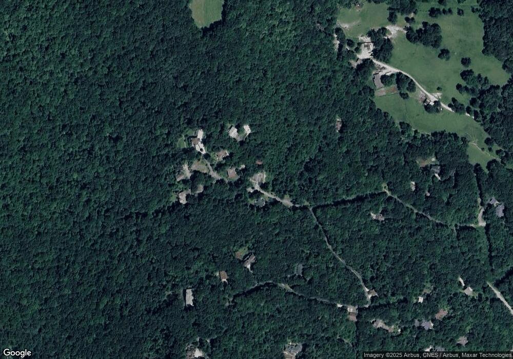
Map
Nearby Homes
- 0 Honey Bear Ln Unit 10595313
- 198 Upper Scenic Dr
- 3315 Bald Mountain Rd
- 0 Bald Mountain Rd Unit LOT 8 10361713
- 0 Bald Mountain Rd Unit 55,57 10472239
- 249 Dalton Dr
- 115 Dam Lake Dr
- 10384 Hale Ridge Rd
- 63 Mashie Ln
- 0 LOT 66 Eagle Cir
- 334 Eagle Cir
- 767 Driver Ln
- 70 Fairway Ln
- 0 Maple Leaf Unit TRACT 6 10609401
- 6 Thunderhead Ln
- 0 Thunderhead Ln Unit 10636844
- 48 Little Bear Trail
- 480 Sky High Dr
- TBD Strawberry Branch
- Lot 171 Ridge Pole Estates
- 424 Honey Bear Ln
- 385 Honey Bear Ln
- 398 Honey Bear
- 389 Honey Bear Ln
- 403 Honey Bear Ln
- 468 Honey Bear Ln Unit 9
- 468 Honey Bear Ln Unit 9 452
- 65 Nantahala Ln
- 220 Honey Bear Ln
- 462 Ford Mountain Rd
- 430 Ford Mountain Rd
- 0 Bear Paw Trail NW Unit J-21 3119958
- 0 Honey Bear Ln Unit 401776
- 0 Honey Bear Ln Unit 401775
- 0 Honey Bear Ln Unit LOT 4 10229550
- 0 Honey Bear Ln Unit LOT 10 & PT 11
- 0 Honey Bear Ln Unit LOT 4 10156131
- 0 Honey Bear Ln Unit LOT 10 & 11 10156102
- 0 Honey Bear Ln Unit 66086
- 0 Honey Bear Ln Unit 66085