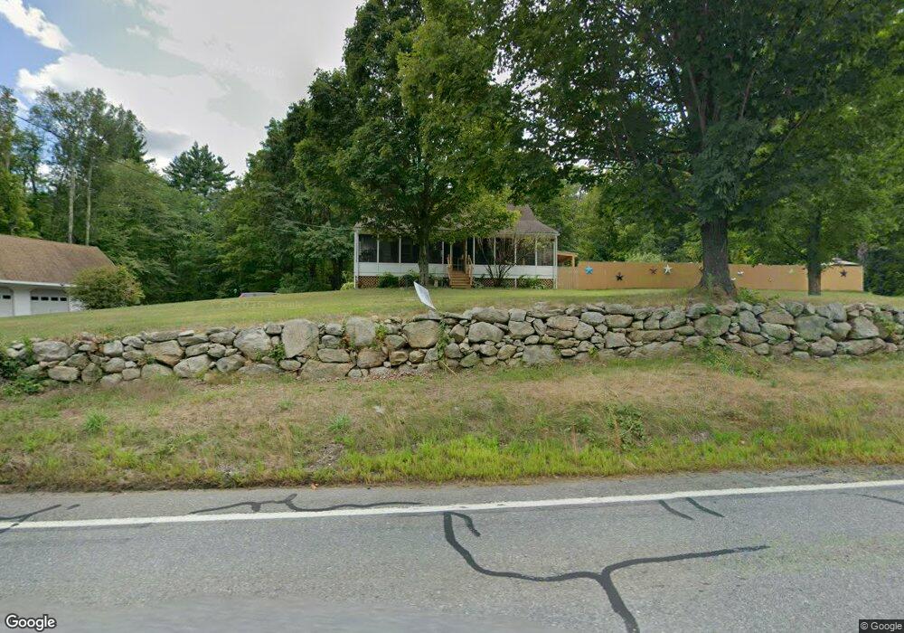
398 Main St West Townsend, MA 01474
Estimated Value: $502,503 - $538,000
3
Beds
2
Baths
2,419
Sq Ft
$215/Sq Ft
Est. Value
About This Home
This home is located at 398 Main St, West Townsend, MA 01474 and is currently estimated at $519,376, approximately $214 per square foot. 398 Main St is a home located in Middlesex County with nearby schools including North Middlesex Regional High School.
Create a Home Valuation Report for This Property
The Home Valuation Report is an in-depth analysis detailing your home's value as well as a comparison with similar homes in the area
Home Values in the Area
Average Home Value in this Area
Tax History Compared to Growth
Tax History
| Year | Tax Paid | Tax Assessment Tax Assessment Total Assessment is a certain percentage of the fair market value that is determined by local assessors to be the total taxable value of land and additions on the property. | Land | Improvement |
|---|---|---|---|---|
| 2025 | $6,069 | $418,000 | $96,900 | $321,100 |
| 2024 | $5,917 | $410,600 | $96,900 | $313,700 |
| 2023 | $5,936 | $389,000 | $88,200 | $300,800 |
| 2022 | $5,885 | $334,200 | $76,400 | $257,800 |
| 2021 | $5,699 | $310,900 | $75,700 | $235,200 |
| 2020 | $5,551 | $284,400 | $67,000 | $217,400 |
| 2019 | $5,325 | $275,500 | $67,000 | $208,500 |
| 2018 | $7,925 | $253,500 | $67,200 | $186,300 |
| 2017 | $3,803 | $248,400 | $71,500 | $176,900 |
| 2016 | $4,710 | $237,900 | $71,500 | $166,400 |
| 2015 | $4,508 | $235,900 | $74,600 | $161,300 |
| 2014 | $4,241 | $216,700 | $67,200 | $149,500 |
Source: Public Records
Map
Nearby Homes
- 11 Fox Run
- 18 Bridle Path
- 114 Blood Rd
- 86 W Elm Lunenburg Rd Blood Rd
- 91 Lunenburg Rd
- 20 Bayberry Hill Rd
- 53 W Meadow Rd
- 1 Depot Street Extension Unit 2
- 1 Depot Street Extension Unit 5
- 1 Depot Street Extension Unit 3
- 1 Depot Street Extension Unit 4
- 10 Stearns Ave
- 30 Bailey Rd
- 75 Highland St
- 0 Brookline St
- 91 Highland St
- 1235 Townsend Rd
- 2 Tamarack Ln
- 64 Meadow Rd
- 144 Main St