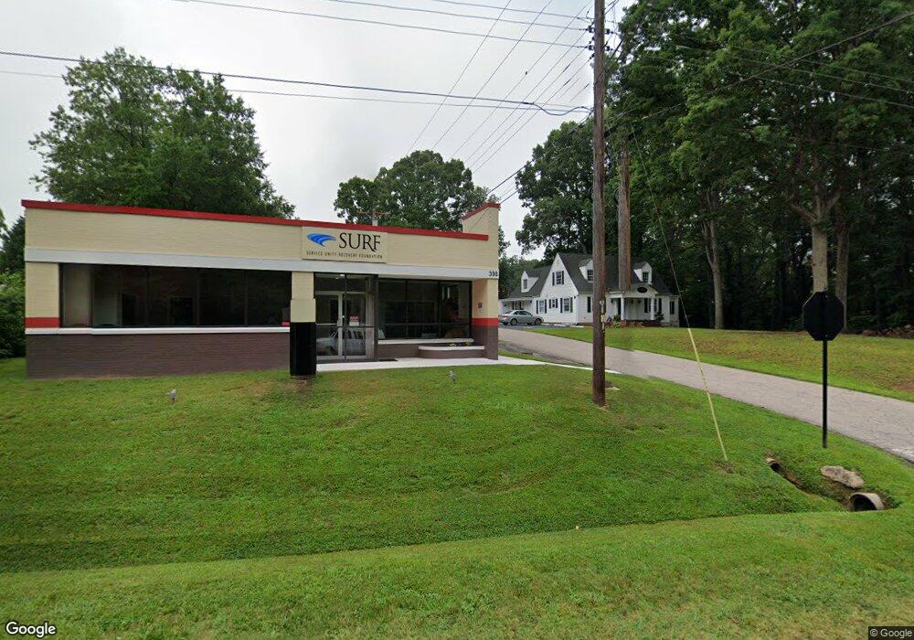
398 N Cannon Blvd Kannapolis, NC 28083
Estimated Value: $353,018
--
Bed
2
Baths
1,720
Sq Ft
$205/Sq Ft
Est. Value
About This Home
This home is located at 398 N Cannon Blvd, Kannapolis, NC 28083 and is currently estimated at $353,018, approximately $205 per square foot. 398 N Cannon Blvd is a home located in Cabarrus County with nearby schools including Jackson Park Elementary School, Kannapolis Middle, and A.L. Brown High School.
Ownership History
Date
Name
Owned For
Owner Type
Purchase Details
Closed on
Mar 2, 2021
Sold by
Andrews Curtis L
Bought by
Catchpole Llc
Current Estimated Value
Purchase Details
Closed on
Jan 30, 2020
Sold by
Gray Box Llc
Bought by
Andrews Curtis L
Purchase Details
Closed on
Dec 17, 2019
Sold by
Lentz George Ray and Lentz Barbara
Bought by
Gray Box Llc
Create a Home Valuation Report for This Property
The Home Valuation Report is an in-depth analysis detailing your home's value as well as a comparison with similar homes in the area
Home Values in the Area
Average Home Value in this Area
Purchase History
| Date | Buyer | Sale Price | Title Company |
|---|---|---|---|
| Catchpole Llc | $227,000 | None Available | |
| Catchpole Llc | -- | None Available | |
| Andrews Curtis L | $125,000 | None Available | |
| Gray Box Llc | $105,000 | None Available |
Source: Public Records
Tax History Compared to Growth
Tax History
| Year | Tax Paid | Tax Assessment Tax Assessment Total Assessment is a certain percentage of the fair market value that is determined by local assessors to be the total taxable value of land and additions on the property. | Land | Improvement |
|---|---|---|---|---|
| 2025 | $2,518 | $221,780 | $85,380 | $136,400 |
| 2024 | $2,518 | $221,780 | $85,380 | $136,400 |
| 2023 | $2,687 | $196,120 | $73,180 | $122,940 |
| 2022 | $2,687 | $119,750 | $73,180 | $46,570 |
| 2021 | $1,641 | $119,750 | $73,180 | $46,570 |
| 2020 | $1,641 | $119,750 | $73,180 | $46,570 |
| 2019 | $2,428 | $177,190 | $82,230 | $94,960 |
| 2018 | $2,392 | $177,190 | $82,230 | $94,960 |
| 2017 | $2,357 | $177,190 | $82,230 | $94,960 |
| 2016 | -- | $161,120 | $67,280 | $93,840 |
| 2015 | $2,030 | $161,120 | $67,280 | $93,840 |
| 2014 | $2,030 | $161,120 | $67,280 | $93,840 |
Source: Public Records
Map
Nearby Homes
- 302 Melinda Ave
- 1102 Lane St
- 406 Ruth Ave
- 604 Pearl Ave
- 502 Helen St
- 904 Venus St
- 311 Jean Ave
- 1406 Shepard St
- 519 N Rose Ave
- 303 E 4th St
- 704 S Harding Ave
- 1202 Woodlawn St
- 818 Skyland St
- 1526 Shepard St
- 704 Gem St Unit 17
- 203 Allen St
- 132 Kennedy Ave
- 1218 Martin Luther King Junior Ave
- 209 James St
- 712 Grace Ave
- 400 N Cannon Blvd
- 306 N Cannon Blvd
- 803 Isabelle St
- 800 Isabelle St
- 406 N Cannon Blvd
- 905 Isabelle St
- 908 Isabelle St
- 408 N Cannon Blvd
- 405 Pearl Ave
- 403 N Cannon Blvd
- 409 Pearl Ave
- 301 N Cannon Blvd
- 606 Tuttlewood Dr
- 410 N Cannon Blvd
- 308 Melinda Ave
- 411 Pearl Ave
- 306 Melinda Ave
- 912 Isabelle St
- 303 N Cannon Blvd
- 615 Tuttlewood Dr