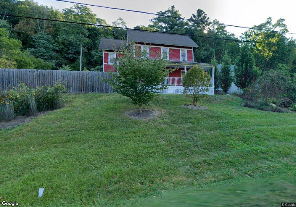
398 N Hoosac Rd Williamstown, MA 01267
Estimated Value: $323,000 - $454,000
4
Beds
2
Baths
2,262
Sq Ft
$177/Sq Ft
Est. Value
About This Home
This home is located at 398 N Hoosac Rd, Williamstown, MA 01267 and is currently estimated at $400,451, approximately $177 per square foot. 398 N Hoosac Rd is a home located in Berkshire County with nearby schools including Williamstown Elementary School, Mt. Greylock Regional High School, and Pine Cobble School.
Ownership History
Date
Name
Owned For
Owner Type
Purchase Details
Closed on
Aug 7, 2017
Sold by
Philippe Besnard Ret
Bought by
Hartman Francine F
Current Estimated Value
Home Financials for this Owner
Home Financials are based on the most recent Mortgage that was taken out on this home.
Original Mortgage
$194,000
Outstanding Balance
$137,322
Interest Rate
3.13%
Mortgage Type
New Conventional
Estimated Equity
$263,129
Purchase Details
Closed on
Jul 1, 2003
Sold by
Jones Dianne M and Jones Stewart
Bought by
Besnard Philippe
Purchase Details
Closed on
Nov 14, 2002
Sold by
Dickinson Hugh C and Dickinson Patricia L
Bought by
Besnard Philippe
Create a Home Valuation Report for This Property
The Home Valuation Report is an in-depth analysis detailing your home's value as well as a comparison with similar homes in the area
Home Values in the Area
Average Home Value in this Area
Purchase History
| Date | Buyer | Sale Price | Title Company |
|---|---|---|---|
| Hartman Francine F | $200,000 | -- | |
| Besnard Philippe | $165,000 | -- | |
| Besnard Philippe | $110,000 | -- |
Source: Public Records
Mortgage History
| Date | Status | Borrower | Loan Amount |
|---|---|---|---|
| Open | Hartman Francine F | $194,000 |
Source: Public Records
Tax History
| Year | Tax Paid | Tax Assessment Tax Assessment Total Assessment is a certain percentage of the fair market value that is determined by local assessors to be the total taxable value of land and additions on the property. | Land | Improvement |
|---|---|---|---|---|
| 2025 | $4,504 | $326,400 | $65,800 | $260,600 |
| 2024 | $4,721 | $311,600 | $62,600 | $249,000 |
| 2023 | $4,579 | $283,200 | $56,900 | $226,300 |
| 2022 | $4,183 | $247,200 | $54,700 | $192,500 |
| 2021 | $1,947 | $220,900 | $54,700 | $166,200 |
| 2020 | $4,140 | $235,200 | $55,000 | $180,200 |
| 2019 | $1,644 | $214,900 | $61,000 | $153,900 |
| 2018 | $120 | $287,900 | $72,900 | $215,000 |
| 2017 | $4,737 | $287,900 | $72,900 | $215,000 |
| 2016 | $4,546 | $287,900 | $72,900 | $215,000 |
| 2015 | $4,494 | $287,900 | $72,900 | $215,000 |
| 2014 | $4,181 | $273,600 | $66,600 | $207,000 |
Source: Public Records
Map
Nearby Homes
- 87 Maple St
- 108 Berkshire Dr
- 15 Orchard Ln
- 160 Water St Unit 209
- 160 Water St Unit 309
- 160 Water St Unit 23
- 160 Water St Unit 103
- 160 Water St Unit 407
- 910 N Hoosac Rd
- 189 Stratton Rd
- 189 Stratton Rd Unit H1
- 111 Park St
- 0 Holly Ln
- 16 Windflower Way
- 34 Thistle Path
- 0 Northwest Hill
- 363 Henderson Rd
- 480 North St
- 148 South St
- 542 Water St
- 398 N Hoosac R
- 386 N Hoosac Rd
- 374 N Hoosac Rd
- 420 N Hoosac Rd
- 352 N Hoosac Rd
- 322 N Hoosac Rd
- 470 N Hoosac Rd
- 470 Lot4 N Hoosac Rd
- 482 N Hoosac Rd
- 492 N Hoosac Rd
- 320 Pine Cobble Rd
- 504 N Hoosac Rd
- 340 Pine Cobble Rd
- 290 Pine Cobble Rd
- 361 Pine Cobble Rd
- 280 Pine Cobble Rd
- 516 N Hoosac Rd
- 260 Pine Cobble Rd
- 350 Pine Cobble Rd
- 526 N Hoosac Rd
Your Personal Tour Guide
Ask me questions while you tour the home.