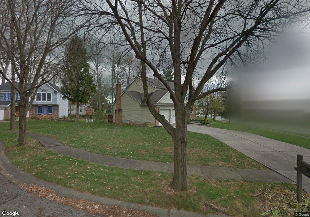
398 Newton Ct Columbus, OH 43230
Rathburn Woods NeighborhoodEstimated Value: $439,714 - $476,000
4
Beds
3
Baths
2,390
Sq Ft
$191/Sq Ft
Est. Value
About This Home
This home is located at 398 Newton Ct, Columbus, OH 43230 and is currently estimated at $456,179, approximately $190 per square foot. 398 Newton Ct is a home located in Franklin County with nearby schools including Lincoln Elementary School, Gahanna South Middle School, and Lincoln High School.
Ownership History
Date
Name
Owned For
Owner Type
Purchase Details
Closed on
Dec 3, 2003
Sold by
Doermann William F and Doermann Panchali Sinha
Bought by
Adam Dean M and Adam Amy L
Current Estimated Value
Home Financials for this Owner
Home Financials are based on the most recent Mortgage that was taken out on this home.
Original Mortgage
$188,900
Outstanding Balance
$88,876
Interest Rate
6.1%
Mortgage Type
Purchase Money Mortgage
Estimated Equity
$367,303
Purchase Details
Closed on
Nov 30, 2000
Sold by
Esswein Larry A and Esswein Sharon S
Bought by
Doermann William F and Doermann Panchali Sinha
Home Financials for this Owner
Home Financials are based on the most recent Mortgage that was taken out on this home.
Original Mortgage
$157,650
Interest Rate
7.7%
Purchase Details
Closed on
Jan 26, 1988
Bought by
Esswein Larry A
Create a Home Valuation Report for This Property
The Home Valuation Report is an in-depth analysis detailing your home's value as well as a comparison with similar homes in the area
Home Values in the Area
Average Home Value in this Area
Purchase History
| Date | Buyer | Sale Price | Title Company |
|---|---|---|---|
| Adam Dean M | $209,900 | -- | |
| Doermann William F | $185,500 | Amerititle Agency Inc | |
| Esswein Larry A | $131,400 | -- |
Source: Public Records
Mortgage History
| Date | Status | Borrower | Loan Amount |
|---|---|---|---|
| Open | Adam Dean M | $188,900 | |
| Closed | Doermann William F | $157,650 |
Source: Public Records
Tax History Compared to Growth
Tax History
| Year | Tax Paid | Tax Assessment Tax Assessment Total Assessment is a certain percentage of the fair market value that is determined by local assessors to be the total taxable value of land and additions on the property. | Land | Improvement |
|---|---|---|---|---|
| 2024 | $7,252 | $123,100 | $29,580 | $93,520 |
| 2023 | $7,161 | $123,095 | $29,575 | $93,520 |
| 2022 | $7,687 | $102,940 | $18,900 | $84,040 |
| 2021 | $7,435 | $102,940 | $18,900 | $84,040 |
| 2020 | $7,373 | $102,940 | $18,900 | $84,040 |
| 2019 | $6,228 | $86,770 | $15,750 | $71,020 |
| 2018 | $5,501 | $86,770 | $15,750 | $71,020 |
| 2017 | $5,265 | $86,770 | $15,750 | $71,020 |
| 2016 | $4,815 | $66,570 | $17,360 | $49,210 |
| 2015 | $4,819 | $66,570 | $17,360 | $49,210 |
| 2014 | $4,782 | $66,570 | $17,360 | $49,210 |
| 2013 | $2,344 | $65,730 | $16,520 | $49,210 |
Source: Public Records
Map
Nearby Homes
- 1252 Rice Ave
- 349 Helmbright Dr
- 249 Farm Creek Dr
- 107 Kinder Place
- 745 Fleetrun Ave
- 1391 Windrush Cir
- 555 Chadwood Dr
- 875 Taylor Station Rd
- 5986 Stratton Place
- 970 Claycraft Rd
- 3005 Souder Dr
- 3264 Mann Rd
- 6162 Stockton Trail Way
- 6343 Hoffman Trace Dr
- 488 Three Oaks Ct Unit 488
- 321 Flint Ridge Dr
- 148 Sierra Dr
- 3440 Mann Rd
- 3311 Longstreth Park Place
- 6924 Shady Rock Ln