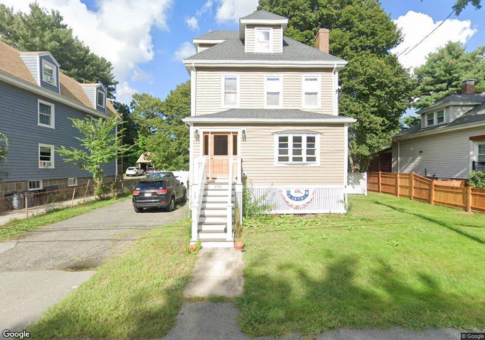
398 Reedsdale Rd Milton, MA 02186
Milton Hill NeighborhoodEstimated Value: $877,000 - $1,054,000
3
Beds
2
Baths
1,654
Sq Ft
$602/Sq Ft
Est. Value
About This Home
This home is located at 398 Reedsdale Rd, Milton, MA 02186 and is currently estimated at $995,287, approximately $601 per square foot. 398 Reedsdale Rd is a home located in Norfolk County with nearby schools including Milton High School, St. Mary of the Hills School, and Milton Academy.
Ownership History
Date
Name
Owned For
Owner Type
Purchase Details
Closed on
Mar 31, 1995
Sold by
Rees Harry C and Rees Joan M
Bought by
Nee Michael M and Nee Maureen
Current Estimated Value
Home Financials for this Owner
Home Financials are based on the most recent Mortgage that was taken out on this home.
Original Mortgage
$141,700
Interest Rate
8.8%
Mortgage Type
Purchase Money Mortgage
Create a Home Valuation Report for This Property
The Home Valuation Report is an in-depth analysis detailing your home's value as well as a comparison with similar homes in the area
Home Values in the Area
Average Home Value in this Area
Purchase History
| Date | Buyer | Sale Price | Title Company |
|---|---|---|---|
| Nee Michael M | $167,000 | -- |
Source: Public Records
Mortgage History
| Date | Status | Borrower | Loan Amount |
|---|---|---|---|
| Open | Nee Michael M | $210,000 | |
| Closed | Nee Michael M | $140,000 | |
| Closed | Nee Michael M | $141,700 |
Source: Public Records
Tax History Compared to Growth
Tax History
| Year | Tax Paid | Tax Assessment Tax Assessment Total Assessment is a certain percentage of the fair market value that is determined by local assessors to be the total taxable value of land and additions on the property. | Land | Improvement |
|---|---|---|---|---|
| 2025 | $9,908 | $893,400 | $428,000 | $465,400 |
| 2024 | $9,637 | $882,500 | $407,600 | $474,900 |
| 2023 | $9,398 | $824,400 | $388,400 | $436,000 |
| 2022 | $8,386 | $672,500 | $388,400 | $284,100 |
| 2021 | $7,587 | $577,800 | $307,200 | $270,600 |
| 2020 | $7,414 | $565,100 | $299,700 | $265,400 |
| 2019 | $7,232 | $548,700 | $291,000 | $257,700 |
| 2018 | $6,957 | $503,800 | $250,500 | $253,300 |
| 2017 | $6,510 | $480,100 | $238,500 | $241,600 |
| 2016 | $7,017 | $519,800 | $283,300 | $236,500 |
| 2015 | $6,447 | $462,500 | $231,100 | $231,400 |
Source: Public Records
Map
Nearby Homes
- 403405 Reedsdale Rd
- 111-113 Pleasant St
- 29 Maitland St
- 40 Lyman Rd
- 675 Randolph Ave
- 50 Marine Rd
- 407 Highland St
- 418 Pleasant St
- 19 Lantern Ln
- 795 Brook Rd
- 651 Canton Ave
- 461 Centre St
- 54 Elm St
- 46 Century Ln
- 390 Central Ave
- 438 Central Ave Unit 2
- 73 Sassamon Ave
- 20 Herrick Dr
- 290 Central Ave
- 639 Pleasant St Unit 639
- 402 Reedsdale Rd
- 392 Reedsdale Rd
- 392 Reedsdale Rd Unit 3
- 392 Reedsdale Rd Unit 1
- 12 Cottage Place
- 8 Cottage Place
- 386 Reedsdale Rd
- 80 Pleasant St Unit 2
- 80 Pleasant St
- 88 Pleasant St
- 22 Cottage Place
- 403 Reedsdale Rd Unit 405
- 403 Reedsdale Rd Unit 1
- 403 Reedsdale Rd Unit 403
- 98 Pleasant St
- 405 Reedsdale Rd
- 399 Reedsdale Rd
- 584 Randolph Ave Unit 584A
- 15 Cottage Place
- 15 Cottage Place Unit 15