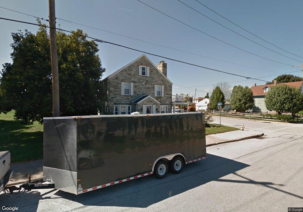
398 W Maple St Dallastown, PA 17313
Estimated Value: $268,000 - $385,000
4
Beds
2
Baths
3,864
Sq Ft
$85/Sq Ft
Est. Value
About This Home
This home is located at 398 W Maple St, Dallastown, PA 17313 and is currently estimated at $327,058, approximately $84 per square foot. 398 W Maple St is a home located in York County with nearby schools including Dallastown Elementary School, Dallastown Area Middle School, and Dallastown Area High School.
Ownership History
Date
Name
Owned For
Owner Type
Purchase Details
Closed on
Jul 30, 2014
Sold by
Hollenbaugh Gary K and Hollenbaugh Karen L
Bought by
Mundis Leslie D and Mundis Noah P
Current Estimated Value
Home Financials for this Owner
Home Financials are based on the most recent Mortgage that was taken out on this home.
Original Mortgage
$190,000
Outstanding Balance
$144,766
Interest Rate
4.09%
Mortgage Type
Purchase Money Mortgage
Estimated Equity
$182,292
Purchase Details
Closed on
Apr 11, 1996
Bought by
Hollenbaugh Gary K and Hollenbaugh Karen L
Create a Home Valuation Report for This Property
The Home Valuation Report is an in-depth analysis detailing your home's value as well as a comparison with similar homes in the area
Home Values in the Area
Average Home Value in this Area
Purchase History
| Date | Buyer | Sale Price | Title Company |
|---|---|---|---|
| Mundis Leslie D | $190,000 | None Available | |
| Hollenbaugh Gary K | -- | -- |
Source: Public Records
Mortgage History
| Date | Status | Borrower | Loan Amount |
|---|---|---|---|
| Open | Mundis Leslie D | $190,000 |
Source: Public Records
Tax History Compared to Growth
Tax History
| Year | Tax Paid | Tax Assessment Tax Assessment Total Assessment is a certain percentage of the fair market value that is determined by local assessors to be the total taxable value of land and additions on the property. | Land | Improvement |
|---|---|---|---|---|
| 2025 | $6,079 | $175,000 | $20,710 | $154,290 |
| 2024 | $6,079 | $175,000 | $20,710 | $154,290 |
| 2023 | $6,079 | $175,000 | $20,710 | $154,290 |
| 2022 | $5,885 | $175,000 | $20,710 | $154,290 |
| 2021 | $5,549 | $175,000 | $20,710 | $154,290 |
| 2020 | $5,549 | $175,000 | $20,710 | $154,290 |
| 2019 | $5,532 | $175,000 | $20,710 | $154,290 |
| 2018 | $5,532 | $175,000 | $20,710 | $154,290 |
| 2017 | $5,317 | $175,000 | $20,710 | $154,290 |
| 2016 | $0 | $175,000 | $20,710 | $154,290 |
| 2015 | -- | $175,000 | $20,710 | $154,290 |
| 2014 | -- | $175,000 | $20,710 | $154,290 |
Source: Public Records
Map
Nearby Homes
- 263 W Main St
- 53 S Franklin St
- 79 S Franklin St
- 2981 Sunset Dr
- 18 E Howard St
- 0 Lot 15 Gary Dr
- 197 S Main St
- 74 S Main St
- 141 W Water St
- 55 Belmar Dr
- 430 E Maple St
- 680 Hampstead Ct
- 117 S Park St
- 2960 Starfire Dr
- 114 Heather Glen Dr
- 195 Coventry Rd
- 1 N Duke St
- 350 Avon Dr Unit 270
- 374 Avon Dr Unit 282
- 433 Bradford Dr Unit 188
- 16 N Cedar St
- 399 W Maple St
- 408 W Maple St
- 372 W Maple St Unit First Floor
- 372 W Maple St
- 368 W Maple St
- 410 W Maple St
- 387 W Main St
- 366 W Maple St
- 401 W Main St
- 401 W Main St
- 385 W Main St
- 364 W Maple St
- 362 W Maple St
- 416 W Maple St
- 417 W Main St
- 131 N Cedar St
- 367 W Maple St
- 413 W Main St
- 411 W Maple St