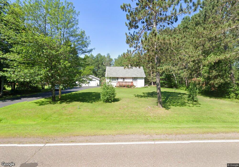
3983 Ugstad Rd Hermantown, MN 55811
Estimated Value: $335,189 - $488,000
3
Beds
2
Baths
1,512
Sq Ft
$256/Sq Ft
Est. Value
About This Home
This home is located at 3983 Ugstad Rd, Hermantown, MN 55811 and is currently estimated at $387,047, approximately $255 per square foot. 3983 Ugstad Rd is a home located in St. Louis County with nearby schools including Hermantown Elementary School, Hermantown Middle School, and Hermantown Middle - Senior High School.
Ownership History
Date
Name
Owned For
Owner Type
Purchase Details
Closed on
Dec 6, 2023
Sold by
Tracey Michael M and Rae Ann
Bought by
Tracey Michael M and Tracey Rae Ann
Current Estimated Value
Purchase Details
Closed on
Feb 12, 2016
Sold by
Tracey Michael M and Tracey Raeann Marie
Bought by
Solem Cody L
Home Financials for this Owner
Home Financials are based on the most recent Mortgage that was taken out on this home.
Original Mortgage
$20,000
Interest Rate
3.97%
Mortgage Type
Closed End Mortgage
Create a Home Valuation Report for This Property
The Home Valuation Report is an in-depth analysis detailing your home's value as well as a comparison with similar homes in the area
Home Values in the Area
Average Home Value in this Area
Purchase History
| Date | Buyer | Sale Price | Title Company |
|---|---|---|---|
| Tracey Michael M | $500 | None Listed On Document | |
| Solem Cody L | $40,000 | Stewart Title Company | |
| Merritt Sandra J | $40,000 | Stewart Title Company |
Source: Public Records
Mortgage History
| Date | Status | Borrower | Loan Amount |
|---|---|---|---|
| Previous Owner | Merritt Sandra J | $20,000 |
Source: Public Records
Tax History Compared to Growth
Tax History
| Year | Tax Paid | Tax Assessment Tax Assessment Total Assessment is a certain percentage of the fair market value that is determined by local assessors to be the total taxable value of land and additions on the property. | Land | Improvement |
|---|---|---|---|---|
| 2024 | $3,256 | $256,900 | $74,100 | $182,800 |
| 2023 | $3,256 | $205,100 | $38,600 | $166,500 |
| 2022 | $2,878 | $215,800 | $70,300 | $145,500 |
| 2021 | $2,806 | $198,600 | $68,100 | $130,500 |
| 2020 | $2,810 | $198,600 | $68,100 | $130,500 |
| 2019 | $2,632 | $195,400 | $65,500 | $129,900 |
| 2018 | $2,348 | $187,800 | $57,900 | $129,900 |
| 2017 | $2,150 | $171,100 | $51,400 | $119,700 |
| 2016 | $2,054 | $162,200 | $48,200 | $114,000 |
| 2015 | $1,668 | $122,100 | $37,500 | $84,600 |
| 2014 | $1,668 | $114,200 | $35,000 | $79,200 |
Source: Public Records
Map
Nearby Homes
- 5186 Hermantown Rd
- 4099 Maple Grove Rd
- 507X Maple Grove Rd
- xxxx Maple Grove Rd
- 5170 & 5178 Hermantown Rd
- 5368 Mckinley Dr
- xxx Lavaque Rd Unit 4271 Lavaque Rd
- 5122 Hermantown Rd
- 5047 Anderson Rd
- 55XX Morris Thomas Rd
- 5014 Maple Grove Rd
- 52XX W Arrowhead Rd
- 5248 W Arrowhead Rd
- xxx Lot 5 Getchell Rd
- xxx Lot 3 Getchell Rd
- xxx Lot 2 Getchell Rd
- xxx Lot 1 Getchell Rd
- 4320 Thielke Cir
- 3868 Getchell Rd
- 5224 Falcon Dr
- 3975 Ugstad Rd
- 5305 Splitrail Dr
- 3978 Ugstad Rd
- 3999 3999 Ugstad Rd
- 3999 Ugstad Rd
- 5311 Splitrail Dr
- 5302 Splitrail Dr
- xxxx Splitrail Dr
- 5306 Splitrail Dr
- 5317 Splitrail Dr
- 5310 Splitrail Dr
- 3990 Ugstad Rd
- 4007 Ugstad Rd
- 5321 Splitrail Dr
- 5316 Splitrail Dr
- 4012 Ugstad Rd
- 4004 Ugstad Rd
- 3994 Ugstad Rd
- 5326 Splitrail Dr
- 3974 Ugstad Rd