399 Burning Tree Ct Half Moon Bay, CA 94019
Estimated Value: $1,736,593 - $1,882,000
3
Beds
3
Baths
2,540
Sq Ft
$723/Sq Ft
Est. Value
About This Home
This home is located at 399 Burning Tree Ct, Half Moon Bay, CA 94019 and is currently estimated at $1,837,398, approximately $723 per square foot. 399 Burning Tree Ct is a home located in San Mateo County with nearby schools including Alvin S. Hatch Elementary School, Manuel F. Cunha Intermediate School, and Half Moon Bay High School.
Ownership History
Date
Name
Owned For
Owner Type
Purchase Details
Closed on
Feb 17, 2022
Sold by
Erickson Roger A and Erickson Christine A
Bought by
Roger A And Christine A Erickson 2022 Trust
Current Estimated Value
Purchase Details
Closed on
Jul 14, 2003
Sold by
Erickson Roger A
Bought by
Erickson Roger A and Erickson Christine A
Home Financials for this Owner
Home Financials are based on the most recent Mortgage that was taken out on this home.
Original Mortgage
$322,700
Interest Rate
5.18%
Mortgage Type
Purchase Money Mortgage
Purchase Details
Closed on
Oct 28, 2002
Sold by
Erickson Roger A
Bought by
Erickson Roger A and Erickson Christine A
Home Financials for this Owner
Home Financials are based on the most recent Mortgage that was taken out on this home.
Original Mortgage
$330,000
Interest Rate
5.99%
Purchase Details
Closed on
Oct 17, 2002
Sold by
Erickson Roger A
Bought by
Erickson Roger A
Home Financials for this Owner
Home Financials are based on the most recent Mortgage that was taken out on this home.
Original Mortgage
$330,000
Interest Rate
5.99%
Purchase Details
Closed on
Jan 5, 1999
Sold by
Erickson Roger A
Bought by
Erickson Roger A and Erickson Christine A
Home Financials for this Owner
Home Financials are based on the most recent Mortgage that was taken out on this home.
Original Mortgage
$345,000
Interest Rate
6.82%
Purchase Details
Closed on
Dec 22, 1998
Sold by
Erickson Roger A
Bought by
Erickson Roger A
Home Financials for this Owner
Home Financials are based on the most recent Mortgage that was taken out on this home.
Original Mortgage
$345,000
Interest Rate
6.82%
Purchase Details
Closed on
Feb 5, 1997
Sold by
Erickson Roger A and Erickson Christine A
Bought by
Erickson Roger A and Erickson Christine A
Home Financials for this Owner
Home Financials are based on the most recent Mortgage that was taken out on this home.
Original Mortgage
$311,500
Interest Rate
7.74%
Purchase Details
Closed on
Jan 10, 1997
Sold by
Mott Mary F
Bought by
Mott Robert Lowell
Home Financials for this Owner
Home Financials are based on the most recent Mortgage that was taken out on this home.
Original Mortgage
$311,500
Interest Rate
7.74%
Purchase Details
Closed on
Jan 9, 1997
Sold by
Mott Robert L and Mott Mitzi D
Bought by
Erickson Roger A and Erickson Christine A
Home Financials for this Owner
Home Financials are based on the most recent Mortgage that was taken out on this home.
Original Mortgage
$311,500
Interest Rate
7.74%
Create a Home Valuation Report for This Property
The Home Valuation Report is an in-depth analysis detailing your home's value as well as a comparison with similar homes in the area
Home Values in the Area
Average Home Value in this Area
Purchase History
| Date | Buyer | Sale Price | Title Company |
|---|---|---|---|
| Roger A And Christine A Erickson 2022 Trust | -- | Corey Luzaich De Ghetaldi & Ri | |
| Erickson Roger A | -- | -- | |
| Erickson Roger A | -- | North American Title Company | |
| Erickson Roger A | -- | North American Title Company | |
| Erickson Roger A | -- | North American Title Company | |
| Erickson Roger A | -- | -- | |
| Erickson Roger A | $172,500 | Chicago Title Insurance Co | |
| Erickson Roger A | -- | Chicago Title Insurance Co | |
| Mott Robert Lowell | -- | Chicago Title Insurance Co | |
| Erickson Roger A | $445,000 | Chicago Title Insurance Co |
Source: Public Records
Mortgage History
| Date | Status | Borrower | Loan Amount |
|---|---|---|---|
| Previous Owner | Erickson Roger A | $322,700 | |
| Previous Owner | Erickson Roger A | $330,000 | |
| Previous Owner | Erickson Roger A | $345,000 | |
| Previous Owner | Erickson Roger A | $311,500 |
Source: Public Records
Tax History
| Year | Tax Paid | Tax Assessment Tax Assessment Total Assessment is a certain percentage of the fair market value that is determined by local assessors to be the total taxable value of land and additions on the property. | Land | Improvement |
|---|---|---|---|---|
| 2025 | $9,352 | $724,752 | $362,376 | $362,376 |
| 2023 | $9,352 | $696,610 | $348,305 | $348,305 |
| 2022 | $8,714 | $682,952 | $341,476 | $341,476 |
| 2021 | $8,453 | $669,562 | $334,781 | $334,781 |
| 2020 | $8,344 | $662,698 | $331,349 | $331,349 |
| 2019 | $8,713 | $649,704 | $324,852 | $324,852 |
| 2018 | $8,054 | $636,966 | $318,483 | $318,483 |
| 2017 | $7,778 | $624,478 | $312,239 | $312,239 |
| 2016 | $7,955 | $612,234 | $306,117 | $306,117 |
| 2015 | $7,557 | $603,038 | $301,519 | $301,519 |
| 2014 | $7,447 | $591,226 | $295,613 | $295,613 |
Source: Public Records
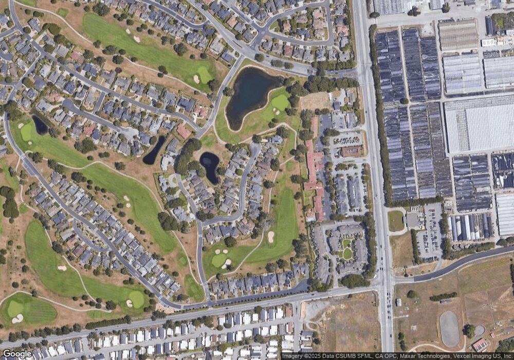
Map
Nearby Homes
- 440 Burning Tree Ct
- 447 Burning Tree Ct
- 175 Troon Way Unit 15
- 220 Eagle Trace Dr
- 116 Eagle Trace Dr
- 23 Sea Breeze Dr Unit 23
- 8 Coral Way Unit 8
- 36 Oceanview Ave Unit 36
- 19 Dolphin Ct Unit 19
- 6 Sunset Terrace Unit 6
- 33 Sailfish Ct Unit 33
- 14 Driftwood Trail Unit 14
- 3 Lighthouse Rd Unit 3
- 181 Turnberry Rd
- 66 Spyglass Ct
- 25 Merion Rd
- 21 Merion Rd
- 15 Ashdown Place
- 109 Carnoustie Dr
- 0 Rose Ave Unit ML82029448
- 409 Burning Tree Ct
- 389 Burning Tree Ct
- 379 Burning Tree Ct
- 419 Burning Tree Ct
- 390 Burning Tree Ct
- 400 Burning Tree Ct
- 369 Burning Tree Ct
- 423 Burning Tree Ct
- 410 Burning Tree Ct
- 380 Burning Tree Ct
- 420 Burning Tree Ct
- 359 Burning Tree Ct
- 427 Burning Tree Ct
- 349 Burning Tree Ct
- 435 Burning Tree Ct
- 439 Burning Tree Ct
- 2329 Burning Tree Rd
- 2319 Burning Tree Rd
- 450 Burning Tree Ct
- 2309 Burning Tree Rd
Your Personal Tour Guide
Ask me questions while you tour the home.