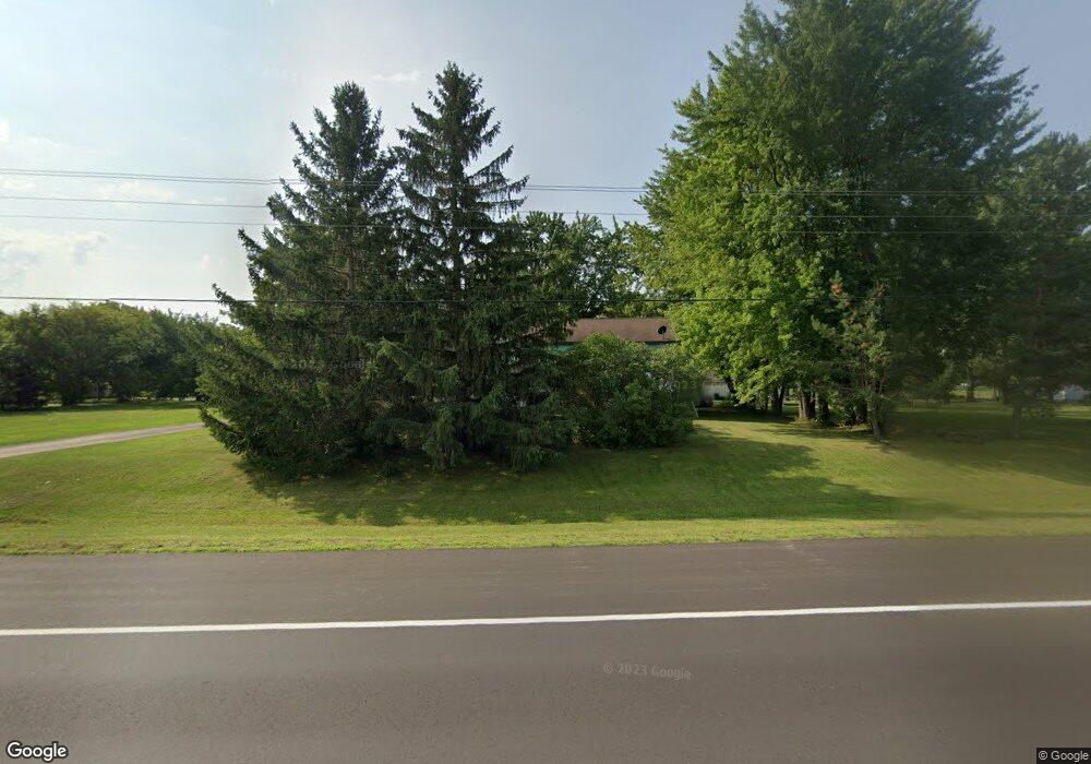
3990 15th St NE Sauk Rapids, MN 56379
Estimated Value: $432,240 - $447,000
3
Beds
1
Bath
2,517
Sq Ft
$175/Sq Ft
Est. Value
About This Home
This home is located at 3990 15th St NE, Sauk Rapids, MN 56379 and is currently estimated at $440,060, approximately $174 per square foot. 3990 15th St NE is a home located in Benton County with nearby schools including Mississippi Heights Elementary School, Sauk Rapids-Rice Middle School, and Sauk Rapids-Rice Senior High School.
Ownership History
Date
Name
Owned For
Owner Type
Purchase Details
Closed on
May 31, 2019
Sold by
Boos Kevin J and Boos Aimee J
Bought by
Lee Kimberly L
Current Estimated Value
Home Financials for this Owner
Home Financials are based on the most recent Mortgage that was taken out on this home.
Original Mortgage
$308,750
Outstanding Balance
$272,012
Interest Rate
4.2%
Mortgage Type
New Conventional
Estimated Equity
$168,048
Create a Home Valuation Report for This Property
The Home Valuation Report is an in-depth analysis detailing your home's value as well as a comparison with similar homes in the area
Home Values in the Area
Average Home Value in this Area
Purchase History
| Date | Buyer | Sale Price | Title Company |
|---|---|---|---|
| Lee Kimberly L | $325,000 | Heartland Title Llc |
Source: Public Records
Mortgage History
| Date | Status | Borrower | Loan Amount |
|---|---|---|---|
| Open | Lee Kimberly L | $308,750 |
Source: Public Records
Tax History Compared to Growth
Tax History
| Year | Tax Paid | Tax Assessment Tax Assessment Total Assessment is a certain percentage of the fair market value that is determined by local assessors to be the total taxable value of land and additions on the property. | Land | Improvement |
|---|---|---|---|---|
| 2025 | $4,224 | $438,600 | $56,100 | $382,500 |
| 2024 | $4,058 | $463,000 | $55,800 | $407,200 |
| 2023 | $3,742 | $456,800 | $55,800 | $401,000 |
| 2022 | $3,758 | $378,300 | $51,500 | $326,800 |
| 2021 | $3,296 | $347,300 | $49,500 | $297,800 |
| 2018 | $24 | $204,600 | $43,797 | $160,803 |
| 2017 | $2,426 | $193,400 | $43,414 | $149,986 |
| 2016 | $2,210 | $172,600 | $42,590 | $130,010 |
| 2015 | $2,374 | $175,200 | $42,699 | $132,501 |
| 2014 | -- | $165,100 | $42,254 | $122,846 |
| 2013 | -- | $168,000 | $42,379 | $125,621 |
Source: Public Records
Map
Nearby Homes
- 0 Quail Rd NE
- 1226 45th Ave NE
- 1102 45th Ave NE
- 1104 45th Ave NE
- 1106 45th Ave NE
- 1108 45th Ave NE
- 4820 15th St NE
- 4860 15th St NE
- 971 45th Ave NE
- 4631 9th St NE
- 4634 9th St NE
- 4658 9th St NE
- 4629 8th St NE
- 4653 8th St NE
- 4745 8th Street Loop NE
- 4771 8th Street Loop NE
- 4195 25th St NE
- The Ashton Plan at Waters Edge
- The Mulberry Plan at Waters Edge - Liberty
- The Newport Plan at Waters Edge
- 1485 Westwood Dr NE
- 1494 Westwood Dr NE
- 3900 15th St NE
- 1498 Westwood Dr NE
- 1490 Westwood Dr NE
- 3850 15th St NE
- 1494 Waldorf Ct NE
- 1300 Meadowbrook Ln NE
- 1295 Meadowbrook Ln NE
- 4100 Greenway Cir NE
- 1490 Waldorf Ct NE
- 1290 Meadowbrook Ln NE
- 4150 Greenway Cir NE
- 3800 15th St NE
- 1287 Meadowbrook Ln NE
- 1485 Waldorf Ct NE
- 3823 15th St NE
- 1280 Meadowbrook Ln NE
- 4200 Greenway Cir NE
- 1285 Flamewood Dr NE