3990 Highway 25 E Bean Station, TN 37708
Estimated Value: $820,958
--
Bed
1
Bath
21,200
Sq Ft
$39/Sq Ft
Est. Value
About This Home
This home is located at 3990 Highway 25 E, Bean Station, TN 37708 and is currently estimated at $820,958, approximately $38 per square foot. 3990 Highway 25 E is a home located in Grainger County with nearby schools including Bean Station Elementary School, Rutledge Middle School, and Grainger High School.
Ownership History
Date
Name
Owned For
Owner Type
Purchase Details
Closed on
May 10, 2011
Sold by
Action Knitwear Inc
Bought by
Rutherford David H and Surface George G
Current Estimated Value
Home Financials for this Owner
Home Financials are based on the most recent Mortgage that was taken out on this home.
Original Mortgage
$294,500
Outstanding Balance
$203,937
Interest Rate
4.88%
Mortgage Type
Commercial
Estimated Equity
$617,021
Purchase Details
Closed on
May 30, 1989
Bought by
Action Knotwear Inc
Create a Home Valuation Report for This Property
The Home Valuation Report is an in-depth analysis detailing your home's value as well as a comparison with similar homes in the area
Home Values in the Area
Average Home Value in this Area
Purchase History
| Date | Buyer | Sale Price | Title Company |
|---|---|---|---|
| Rutherford David H | $292,500 | -- | |
| Action Knotwear Inc | $17,000 | -- |
Source: Public Records
Mortgage History
| Date | Status | Borrower | Loan Amount |
|---|---|---|---|
| Open | Rutherford David H | $294,500 |
Source: Public Records
Tax History Compared to Growth
Tax History
| Year | Tax Paid | Tax Assessment Tax Assessment Total Assessment is a certain percentage of the fair market value that is determined by local assessors to be the total taxable value of land and additions on the property. | Land | Improvement |
|---|---|---|---|---|
| 2025 | -- | $231,320 | $0 | $0 |
| 2024 | -- | $231,320 | $30,600 | $200,720 |
| 2023 | $0 | $231,320 | $30,600 | $200,720 |
| 2022 | $5,313 | $231,320 | $30,600 | $200,720 |
| 2021 | $5,313 | $231,320 | $30,600 | $200,720 |
| 2020 | $5,631 | $231,320 | $30,600 | $200,720 |
| 2019 | $5,631 | $201,120 | $25,200 | $175,920 |
| 2018 | $4,867 | $201,120 | $25,200 | $175,920 |
| 2017 | $4,867 | $201,120 | $25,200 | $175,920 |
| 2016 | $4,867 | $201,120 | $25,200 | $175,920 |
| 2015 | $4,032 | $201,120 | $25,200 | $175,920 |
| 2014 | $4,032 | $161,264 | $0 | $0 |
Source: Public Records
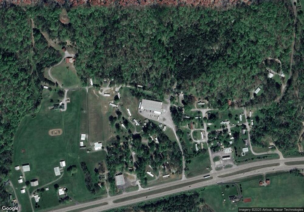
Map
Nearby Homes
- 163 Spoone St
- 1973 Rocky Springs Rd
- 997 Miller Hollow Rd
- 299 Main St
- 1515 Ned Clark Rd
- 0 Rocky Springs Rd Unit 1299137
- 415 Rocky Springs Rd
- 312 Terrace View Dr
- 0 Terrace View Dr
- 194 Pleasant Ridge Ln
- 0 Sanita Village Rd Unit 708577
- 226 Briar Fork Rd
- 0 Broadway Dr
- Lot 44 Bayside Blvd
- 263 Phyllis Dr
- o Terrace Dr
- 254 Meadowview Ln
- 0 Campbell Dr Unit 607452
- 0 Paradise Mountain Ln Unit 1314541
- 210 Gammon Springs
- 200 Samsel Ln
- 154 Samsel Ln
- 132 Samsel Ln
- 234 Ned Clark Rd
- 251 Ned Clark Rd
- 274 Ned Clark Rd
- 141 Spring St
- 136 Ned Clark Rd
- 287 Ned Clark Rd
- 0 Hwy 25 Unit 552802
- 0 Hwy 25 Unit 554346
- 0 Hwy 25 Unit 554350
- 0 Hwy 25 Unit 554349
- 0 Hwy 25 Unit 534307
- 0 Hwy 25 Unit 534299
- 0 Hwy 25 Unit 534297
- 0 Hwy 25 Unit 534290
- 0 Hwy 25 Unit 603652
- 0 Hwy 25 Unit 603650
- 0 Hwy 25 Unit 683918