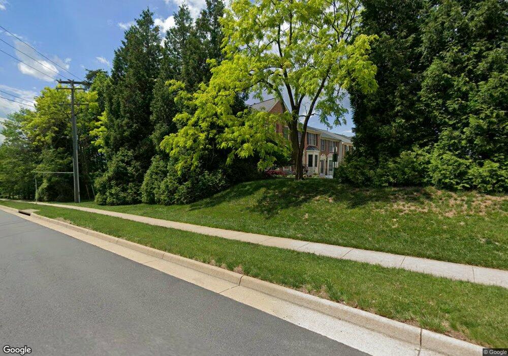
3991 Bali Ct Woodbridge, VA 22192
Old Bridge NeighborhoodEstimated Value: $497,857 - $549,000
3
Beds
3
Baths
1,704
Sq Ft
$310/Sq Ft
Est. Value
About This Home
This home is located at 3991 Bali Ct, Woodbridge, VA 22192 and is currently estimated at $527,964, approximately $309 per square foot. 3991 Bali Ct is a home located in Prince William County with nearby schools including Charles J. Colgan Senior High School, Westridge Elementary School, and Woodbridge Middle School.
Ownership History
Date
Name
Owned For
Owner Type
Purchase Details
Closed on
Oct 27, 1998
Sold by
K Hovnanian @ The Glen
Bought by
Richardson Celestine
Current Estimated Value
Home Financials for this Owner
Home Financials are based on the most recent Mortgage that was taken out on this home.
Original Mortgage
$142,500
Outstanding Balance
$31,350
Interest Rate
6.68%
Estimated Equity
$496,614
Create a Home Valuation Report for This Property
The Home Valuation Report is an in-depth analysis detailing your home's value as well as a comparison with similar homes in the area
Home Values in the Area
Average Home Value in this Area
Purchase History
| Date | Buyer | Sale Price | Title Company |
|---|---|---|---|
| Richardson Celestine | $150,000 | -- |
Source: Public Records
Mortgage History
| Date | Status | Borrower | Loan Amount |
|---|---|---|---|
| Open | Richardson Celestine | $142,500 |
Source: Public Records
Tax History Compared to Growth
Tax History
| Year | Tax Paid | Tax Assessment Tax Assessment Total Assessment is a certain percentage of the fair market value that is determined by local assessors to be the total taxable value of land and additions on the property. | Land | Improvement |
|---|---|---|---|---|
| 2025 | $4,749 | $519,300 | $126,600 | $392,700 |
| 2024 | $4,749 | $477,500 | $115,900 | $361,600 |
| 2023 | $4,670 | $448,800 | $105,600 | $343,200 |
| 2022 | $4,670 | $421,700 | $105,600 | $316,100 |
| 2021 | $4,547 | $372,000 | $94,100 | $277,900 |
| 2020 | $5,623 | $362,800 | $91,600 | $271,200 |
| 2019 | $5,220 | $336,800 | $91,000 | $245,800 |
| 2018 | $3,946 | $326,800 | $89,100 | $237,700 |
| 2017 | $3,804 | $307,600 | $86,100 | $221,500 |
| 2016 | $3,748 | $305,900 | $85,300 | $220,600 |
| 2015 | $3,693 | $299,600 | $82,300 | $217,300 |
| 2014 | $3,693 | $294,900 | $81,100 | $213,800 |
Source: Public Records
Map
Nearby Homes
- 3988 Cressida Place
- 4021 Cressida Place
- 12734 Silvia Loop
- 12804 Evansport Place
- 12896 Schalk Ct
- 12758 Silvia Loop
- 12948 Augustus Ct
- 12687 Perchance Terrace
- 4104 Churchman Way
- 4167 Churchman Way
- 12608 Kempston Ln
- 4068 Chetham Way
- 4309 Kentland Dr
- 12820 Misty Ln
- 4281 Berwick Place
- 4282 Berwick Place
- 12720 Knightsbridge Dr
- 12438 Abbey Knoll Ct
- 4382 Daisy Reid Ave
- 12752 Effie Rose Place