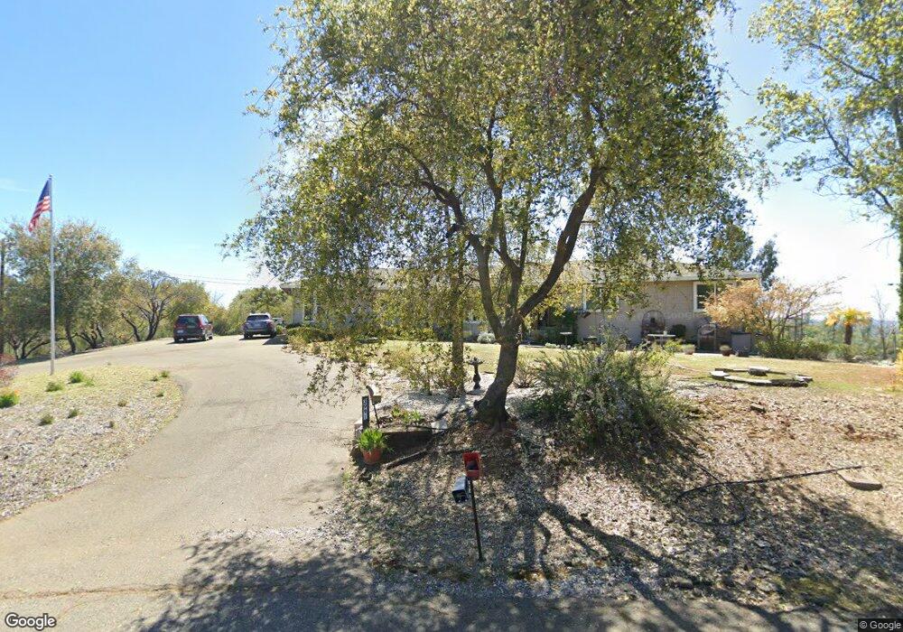
3991 Strickland Mine Rd Placerville, CA 95667
Estimated Value: $684,933 - $1,326,000
6
Beds
4
Baths
2,332
Sq Ft
$379/Sq Ft
Est. Value
About This Home
This home is located at 3991 Strickland Mine Rd, Placerville, CA 95667 and is currently estimated at $883,233, approximately $378 per square foot. 3991 Strickland Mine Rd is a home located in El Dorado County with nearby schools including Herbert C. Green Middle School, Indian Creek Elementary School, and Union Mine High School.
Ownership History
Date
Name
Owned For
Owner Type
Purchase Details
Closed on
Jun 2, 1997
Sold by
Fox Paul G and Fox Kathleen L
Bought by
Russo Steven Benito and Russo Christine P
Current Estimated Value
Home Financials for this Owner
Home Financials are based on the most recent Mortgage that was taken out on this home.
Original Mortgage
$247,000
Outstanding Balance
$35,650
Interest Rate
8.08%
Estimated Equity
$847,583
Create a Home Valuation Report for This Property
The Home Valuation Report is an in-depth analysis detailing your home's value as well as a comparison with similar homes in the area
Home Values in the Area
Average Home Value in this Area
Purchase History
| Date | Buyer | Sale Price | Title Company |
|---|---|---|---|
| Russo Steven Benito | $260,000 | Old Republic Title Company |
Source: Public Records
Mortgage History
| Date | Status | Borrower | Loan Amount |
|---|---|---|---|
| Open | Russo Steven Benito | $247,000 |
Source: Public Records
Tax History
| Year | Tax Paid | Tax Assessment Tax Assessment Total Assessment is a certain percentage of the fair market value that is determined by local assessors to be the total taxable value of land and additions on the property. | Land | Improvement |
|---|---|---|---|---|
| 2025 | $4,213 | $410,223 | $105,848 | $304,375 |
| 2024 | $4,213 | $402,592 | $103,773 | $298,819 |
| 2023 | $4,112 | $395,111 | $101,739 | $293,372 |
| 2022 | $4,074 | $387,777 | $99,745 | $288,032 |
| 2021 | $4,021 | $380,587 | $97,790 | $282,797 |
| 2020 | $3,969 | $376,901 | $96,788 | $280,113 |
| 2019 | $3,910 | $369,924 | $94,891 | $275,033 |
| 2018 | $3,802 | $363,083 | $93,031 | $270,052 |
| 2017 | $3,723 | $356,376 | $91,207 | $265,169 |
| 2016 | $3,681 | $349,801 | $89,419 | $260,382 |
| 2015 | $3,497 | $344,865 | $88,077 | $256,788 |
| 2014 | $3,497 | $338,522 | $86,352 | $252,170 |
Source: Public Records
Map
Nearby Homes
- 0 Echo Ln Unit 226012331
- 4117 El Dorado Rd
- 6371 Mother Lode Dr
- 6300 Longview Dr
- 6387 Mother Lode Dr Unit 39
- 6387 Mother Lode Dr Unit 71
- 6387 Mother Lode Dr Unit 115
- 4627 El Dorado Rd
- 6433 Mother Lode Dr
- 4111 Badger Ln
- 3390 Morel Way
- 6641 Ribbon Ln
- 3366 Greenwood Ln
- 6069 Pleasant Valley Rd
- 2 Shinn Ranch Rd
- 3 Shinn Ranch Rd
- 3695 Missouri Flat Rd
- 4073 El Dorado Rd
- 5520 Mother Lode Dr
- 4160 Oro Ln Unit 7
- 3980 Strickland Mine Rd
- 5685 Silver Lode Dr
- 5661 Silver Lode Dr
- 3961 Strickland Mine Rd
- 4021 Strickland Mine Rd
- 5641 Silverlode Dr
- 5641 Silver Lode Dr
- 4041 Strickland Mine Rd
- 4321 Ingela Ct
- 4040 Strickland Mine Rd
- 3921 Strickland Mine Rd
- 4340 Ingela Ct
- 5639 Silver Lode Dr
- 4011 Strickland Mine Rd
- 4325 Ingela Ct
- 3920 Strickland Mine Rd
- 4099 Strickland Mine Rd
- 4420 Sonja Ct
- 5581 Silver Lode Dr
- 4100 Strickland Mine Rd
Your Personal Tour Guide
Ask me questions while you tour the home.