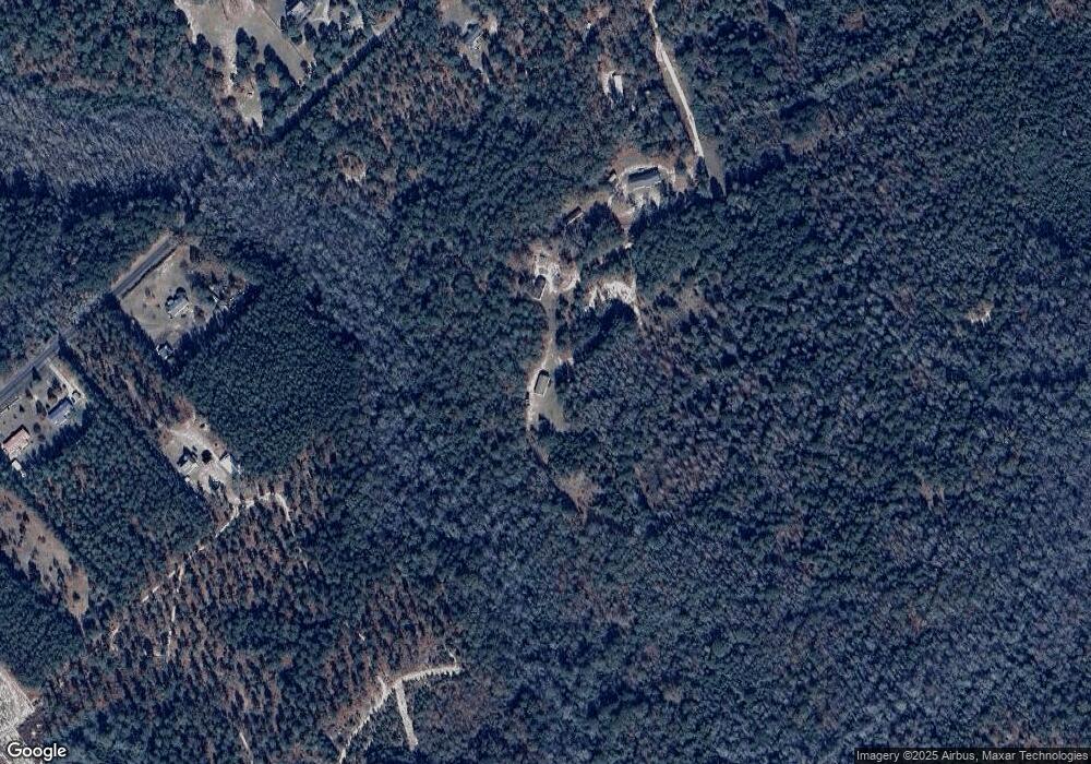
39B Black Walnut Ln Cassatt, SC 29032
Estimated Value: $153,000 - $176,000
3
Beds
2
Baths
1,648
Sq Ft
$103/Sq Ft
Est. Value
About This Home
This home is located at 39B Black Walnut Ln, Cassatt, SC 29032 and is currently estimated at $169,079, approximately $102 per square foot. 39B Black Walnut Ln is a home located in Kershaw County with nearby schools including Midway Elementary School, North Central Middle School, and North Central High School.
Ownership History
Date
Name
Owned For
Owner Type
Purchase Details
Closed on
Dec 1, 2017
Sold by
Midlands Realty Inc
Bought by
Camps Frank S and Camps Cynthia L
Current Estimated Value
Home Financials for this Owner
Home Financials are based on the most recent Mortgage that was taken out on this home.
Original Mortgage
$70,695
Outstanding Balance
$38,494
Interest Rate
3.88%
Mortgage Type
FHA
Estimated Equity
$130,585
Purchase Details
Closed on
Aug 13, 2014
Sold by
Wright Derrick
Bought by
Bayview Loan Servicing Llc
Purchase Details
Closed on
Sep 2, 2008
Sold by
Burnett Laytoya Y
Bought by
Wright Derrick
Create a Home Valuation Report for This Property
The Home Valuation Report is an in-depth analysis detailing your home's value as well as a comparison with similar homes in the area
Purchase History
| Date | Buyer | Sale Price | Title Company |
|---|---|---|---|
| Camps Frank S | $72,000 | Connell Law Firm Llc | |
| Bayview Loan Servicing Llc | $2,500 | -- | |
| Wright Derrick | -- | -- |
Source: Public Records
Mortgage History
| Date | Status | Borrower | Loan Amount |
|---|---|---|---|
| Open | Camps Frank S | $70,695 |
Source: Public Records
Tax History Compared to Growth
Tax History
| Year | Tax Paid | Tax Assessment Tax Assessment Total Assessment is a certain percentage of the fair market value that is determined by local assessors to be the total taxable value of land and additions on the property. | Land | Improvement |
|---|---|---|---|---|
| 2025 | $649 | $87,100 | $10,000 | $77,100 |
| 2024 | $649 | $87,100 | $10,000 | $77,100 |
| 2023 | $652 | $87,100 | $10,000 | $77,100 |
| 2022 | $630 | $87,100 | $10,000 | $77,100 |
| 2021 | $578 | $87,100 | $10,000 | $77,100 |
| 2020 | $497 | $72,700 | $7,000 | $65,700 |
| 2019 | $512 | $72,700 | $7,000 | $65,700 |
| 2018 | $467 | $72,700 | $7,000 | $65,700 |
| 2017 | $1,836 | $62,100 | $7,000 | $55,100 |
| 2016 | $1,591 | $84,400 | $7,000 | $77,400 |
| 2015 | $530 | $84,400 | $7,000 | $77,400 |
| 2014 | $530 | $0 | $0 | $0 |
Source: Public Records
Map
Nearby Homes
- 1580 Cheraw Rd
- 1518 State Road S-28-306
- 137 Pointers Path
- 157 Pointers Path
- 1577 Porter Rd
- 177 Pointers Path
- 378 Hound Hollow Rd
- 340 Hound Hollow Rd
- 216 Hound Hollow Rd
- 160 Hound Hollow
- 160 Hound Hollow Rd
- 771 Park Rd
- 80 Hound Hollow Rd
- 1258 Pine Rd
- Lot 18 Hound Hollow Rd
- 196 Hound Hollow Rd
- 1386 Pine Rd
- 1377 Pine Rd
- 78 Foxwood Ln
- 1870 Henry Davis Rd Unit 1
- 39 Black Walnut Ln
- 65 Black Walnut Ln
- 41 Black Walnut Ln
- 1589 James West Rd
- 1549 Cheraw Rd
- 1559 Cheraw Rd
- 24 Black Walnut Ln
- 1503 Cheraw Rd
- 1530 Cheraw Rd
- 1495 Cheraw Rd
- 1550 Cheraw Rd
- 1487 Cheraw Rd
- 1566 Cheraw Rd
- 1587 Cheraw Rd
- 1479 Cheraw Rd
- 1473 Cheraw Rd
- 1679 James West Rd
- 1664 James West Rd
- 35 Ben Dex Ln
- 1650 James West Rd
