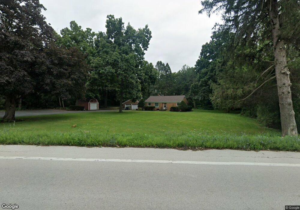
39W745 Russell Rd Elgin, IL 60124
Far West Elgin NeighborhoodEstimated Value: $330,450 - $365,000
2
Beds
1
Bath
1,200
Sq Ft
$285/Sq Ft
Est. Value
About This Home
This home is located at 39W745 Russell Rd, Elgin, IL 60124 and is currently estimated at $341,863, approximately $284 per square foot. 39W745 Russell Rd is a home located in Kane County with nearby schools including Howard B. Thomas Grade School, Prairie Knolls Middle School, and Central Middle School.
Ownership History
Date
Name
Owned For
Owner Type
Purchase Details
Closed on
Aug 26, 1998
Sold by
Adkins Loretta and Velda Olson Trust
Bought by
Hennig Donald R and Hennig Lois C
Current Estimated Value
Home Financials for this Owner
Home Financials are based on the most recent Mortgage that was taken out on this home.
Original Mortgage
$150,900
Outstanding Balance
$32,682
Interest Rate
7.06%
Estimated Equity
$309,181
Create a Home Valuation Report for This Property
The Home Valuation Report is an in-depth analysis detailing your home's value as well as a comparison with similar homes in the area
Home Values in the Area
Average Home Value in this Area
Purchase History
| Date | Buyer | Sale Price | Title Company |
|---|---|---|---|
| Hennig Donald R | $168,000 | -- |
Source: Public Records
Mortgage History
| Date | Status | Borrower | Loan Amount |
|---|---|---|---|
| Open | Hennig Donald R | $150,900 |
Source: Public Records
Tax History Compared to Growth
Tax History
| Year | Tax Paid | Tax Assessment Tax Assessment Total Assessment is a certain percentage of the fair market value that is determined by local assessors to be the total taxable value of land and additions on the property. | Land | Improvement |
|---|---|---|---|---|
| 2024 | $6,219 | $88,931 | $27,638 | $61,293 |
| 2023 | $5,704 | $77,420 | $25,000 | $52,420 |
| 2022 | $5,841 | $74,873 | $23,138 | $51,735 |
| 2021 | $5,577 | $69,954 | $22,353 | $47,601 |
| 2020 | $5,552 | $68,697 | $21,951 | $46,746 |
| 2019 | $5,546 | $67,809 | $21,667 | $46,142 |
| 2018 | $5,397 | $66,475 | $22,230 | $44,245 |
| 2017 | $5,086 | $62,338 | $20,139 | $42,199 |
| 2016 | $5,386 | $60,859 | $19,661 | $41,198 |
| 2015 | -- | $62,927 | $19,661 | $43,266 |
| 2014 | -- | $62,927 | $19,661 | $43,266 |
| 2013 | -- | $64,002 | $19,997 | $44,005 |
Source: Public Records
Map
Nearby Homes
- Lot 10 Russinwood Ct
- Lot 8 Russinwood Ct
- 316 Burr Oak Dr
- The Ashbury - Sideload Plan at Tall Oaks
- The Erie Sideload Plan at Tall Oaks
- The Westwood Plan at Tall Oaks
- The Braxton Plan at Tall Oaks
- The Ontario Plan at Tall Oaks
- The Craftsman - Sideload Plan at Tall Oaks
- The Williamson - Sideload Plan at Tall Oaks
- The Aspen Plan at Tall Oaks
- The Superior Plan at Tall Oaks
- The Halsted Plan at Tall Oaks
- The Bettendorf Sideload Plan at Tall Oaks
- The Modern Farmhouse - Sideload Plan at Tall Oaks
- 278 Winding Hill Dr
- 276 Winding Hill Dr
- 308 Winding Hill Dr
- 2 Stonecrest Dr
- 312 Monument Rd
- 38W491 Us Highway 20
- 11N080 Juliet Dr Unit 2
- 0 Russell Rd Unit 8039732
- 0 Russell Rd Unit 8427712
- 11N060 Juliet Dr
- 39W669 Verona Dr
- 11N104 Juliet Dr
- 11N044 Juliet Dr
- 11N198 Russell Rd
- 11N198 Russell Rd
- 39W660 Verona Dr Unit 1
- 11N085 Juliet Dr
- 11N026 Juliet Dr
- 11N193 Russinwood Ct
- 11N115 Juliet Dr
- 11N156 Juliet Dr Unit 1
- 11N189 Russinwood Ct
- 11N137 Juliet Dr
- 11N254 Russell Rd
- 11N005 Juliet Dr