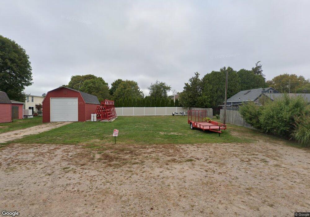
4 2nd St Westerly, RI 02891
Estimated Value: $788,843
3
Beds
1
Bath
1,082
Sq Ft
$729/Sq Ft
Est. Value
About This Home
This home is located at 4 2nd St, Westerly, RI 02891 and is currently estimated at $788,843, approximately $729 per square foot. 4 2nd St is a home located in Washington County with nearby schools including Westerly High School and St. Michael School.
Ownership History
Date
Name
Owned For
Owner Type
Purchase Details
Closed on
May 7, 2007
Sold by
Williams Richard V and Williams Margaret B
Bought by
Misquamicut Fire Distr
Current Estimated Value
Purchase Details
Closed on
Jan 23, 1997
Sold by
Robinson Calvin J and Robinson Patricia
Bought by
Williams Richard V and Williams Richard C
Create a Home Valuation Report for This Property
The Home Valuation Report is an in-depth analysis detailing your home's value as well as a comparison with similar homes in the area
Home Values in the Area
Average Home Value in this Area
Purchase History
| Date | Buyer | Sale Price | Title Company |
|---|---|---|---|
| Misquamicut Fire Distr | $390,000 | -- | |
| Williams Richard V | $100,000 | -- |
Source: Public Records
Mortgage History
| Date | Status | Borrower | Loan Amount |
|---|---|---|---|
| Previous Owner | Williams Richard V | $25,000 | |
| Previous Owner | Williams Richard V | $130,000 | |
| Previous Owner | Williams Richard V | $20,000 | |
| Previous Owner | Williams Richard V | $89,000 |
Source: Public Records
Map
Nearby Homes
- 27 Benson Ave
- 10 Tristam St
- 4 Shore Rd
- 9 Compass Way Unit 201
- 9 Compass Way Unit 202
- 9 Compass Way Unit 101
- 9 Compass Way Unit 102
- 9 Compass Way Unit 103
- 9 Compass Way Unit 203
- 109 Watch Hill Rd
- 4 Quail Run
- 20 Browning Rd
- 52 Avondale Rd
- 60 Avondale Rd
- 417 River Rd
- 9 Champlin Dr
- 18 Timothy Dr
- 19 Wicklow Rd
- 16 Green Ave
- 432 Atlantic Ave
Your Personal Tour Guide
Ask me questions while you tour the home.