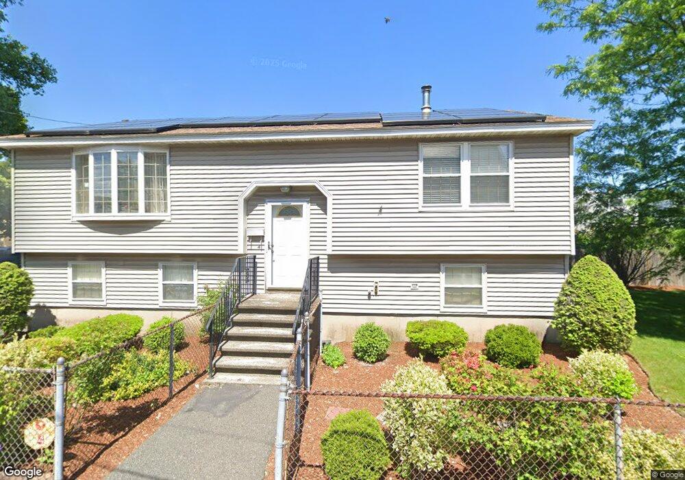
4 Anoka Place Lynn, MA 01905
Central Lynn NeighborhoodEstimated Value: $503,000 - $561,000
3
Beds
1
Bath
1,144
Sq Ft
$477/Sq Ft
Est. Value
About This Home
This home is located at 4 Anoka Place, Lynn, MA 01905 and is currently estimated at $545,426, approximately $476 per square foot. 4 Anoka Place is a home with nearby schools including Cokato Elementary School, William P Connery Elementary School, and North Park Elementary School.
Ownership History
Date
Name
Owned For
Owner Type
Purchase Details
Closed on
Sep 6, 2019
Sold by
Williams Margot C
Bought by
Margot C Williams Lt
Current Estimated Value
Purchase Details
Closed on
Nov 2, 1988
Sold by
Blades Patsy Y
Bought by
Williams Margot C
Create a Home Valuation Report for This Property
The Home Valuation Report is an in-depth analysis detailing your home's value as well as a comparison with similar homes in the area
Home Values in the Area
Average Home Value in this Area
Purchase History
| Date | Buyer | Sale Price | Title Company |
|---|---|---|---|
| Margot C Williams Lt | -- | -- | |
| Margot C Williams Lt | -- | -- | |
| Margot C Williams Lt | -- | -- | |
| Williams Margot C | $134,200 | -- |
Source: Public Records
Mortgage History
| Date | Status | Borrower | Loan Amount |
|---|---|---|---|
| Previous Owner | Williams Margot C | $100,000 | |
| Previous Owner | Williams Margot C | $25,000 | |
| Previous Owner | Williams Margot C | $102,500 | |
| Closed | Williams Margot C | $0 |
Source: Public Records
Tax History Compared to Growth
Tax History
| Year | Tax Paid | Tax Assessment Tax Assessment Total Assessment is a certain percentage of the fair market value that is determined by local assessors to be the total taxable value of land and additions on the property. | Land | Improvement |
|---|---|---|---|---|
| 2025 | $5,335 | $515,000 | $187,000 | $328,000 |
| 2024 | $5,325 | $505,700 | $180,400 | $325,300 |
| 2023 | $4,759 | $426,800 | $142,100 | $284,700 |
| 2022 | $4,802 | $386,300 | $128,400 | $257,900 |
| 2021 | $4,506 | $345,800 | $113,900 | $231,900 |
| 2020 | $4,334 | $323,400 | $107,200 | $216,200 |
| 2019 | $4,206 | $294,100 | $90,600 | $203,500 |
| 2018 | $3,937 | $259,900 | $89,800 | $170,100 |
| 2017 | $3,693 | $236,700 | $79,000 | $157,700 |
| 2016 | $3,804 | $235,100 | $59,400 | $175,700 |
| 2015 | $3,218 | $192,100 | $53,400 | $138,700 |
Source: Public Records
Map
Nearby Homes
- 662-664 Western Ave
- 693 Western Ave Unit 101
- 39 Centre St
- 66 Harwood St
- 121 N Common St
- 140 S Common St
- 40 Grove St
- 20 Huss Ct Unit 105
- 43 Baker St
- 10 Carnes St
- 274 Boston St
- 103 Warren St
- 108 Franklin St
- 75 Grove St
- 75 Moulton St
- 69 N Common St
- 447 Boston St
- 99 Franklin St
- 93 Franklin St
- 25 Bulfinch St
- 640 Western Ave
- 646 Western Ave
- 10 Anoka Place
- 7 Anoka Place
- 650 Western Ave
- 9 Anoka Place
- 19 Bennett Cir
- 654-654A Western Ave
- 654 Western Ave Unit 654A
- 653 Western Ave Unit 659
- 653 Western Ave Unit 8
- 13 Anoka Place
- 29A Mall St
- 29 Mall St Unit 2
- 29A Mall St Unit 2
- 665 Western Ave
- 27 Holton Place
- 46 Park St
- 11 Bennett Cir
- 41 Mall St