4 Apache Trail Weston, MA 02493
Estimated Value: $2,278,913 - $2,771,000
5
Beds
3
Baths
4,228
Sq Ft
$612/Sq Ft
Est. Value
About This Home
This home is located at 4 Apache Trail, Weston, MA 02493 and is currently estimated at $2,588,978, approximately $612 per square foot. 4 Apache Trail is a home with nearby schools including Wayland High School.
Ownership History
Date
Name
Owned For
Owner Type
Purchase Details
Closed on
Jul 29, 1992
Sold by
Hernan Neil I and Hernan Eleanor
Bought by
Fletcher Roderick and Fletcher Barbara
Current Estimated Value
Home Financials for this Owner
Home Financials are based on the most recent Mortgage that was taken out on this home.
Original Mortgage
$200,000
Interest Rate
8.46%
Mortgage Type
Purchase Money Mortgage
Create a Home Valuation Report for This Property
The Home Valuation Report is an in-depth analysis detailing your home's value as well as a comparison with similar homes in the area
Home Values in the Area
Average Home Value in this Area
Purchase History
| Date | Buyer | Sale Price | Title Company |
|---|---|---|---|
| Fletcher Roderick | $510,000 | -- |
Source: Public Records
Mortgage History
| Date | Status | Borrower | Loan Amount |
|---|---|---|---|
| Closed | Fletcher Roderick | $196,500 | |
| Closed | Fletcher Roderick | $200,000 |
Source: Public Records
Tax History
| Year | Tax Paid | Tax Assessment Tax Assessment Total Assessment is a certain percentage of the fair market value that is determined by local assessors to be the total taxable value of land and additions on the property. | Land | Improvement |
|---|---|---|---|---|
| 2025 | $29,303 | $1,874,800 | $681,200 | $1,193,600 |
| 2024 | $27,759 | $1,788,600 | $648,500 | $1,140,100 |
| 2023 | $25,829 | $1,551,300 | $589,500 | $961,800 |
| 2022 | $25,413 | $1,384,900 | $488,500 | $896,400 |
| 2021 | $24,832 | $1,340,800 | $444,400 | $896,400 |
| 2020 | $23,813 | $1,340,800 | $444,400 | $896,400 |
| 2019 | $22,865 | $1,250,800 | $423,400 | $827,400 |
| 2018 | $22,465 | $1,246,000 | $423,400 | $822,600 |
| 2017 | $21,897 | $1,207,100 | $410,200 | $796,900 |
| 2016 | $20,534 | $1,184,200 | $419,300 | $764,900 |
| 2015 | $20,716 | $1,126,500 | $419,300 | $707,200 |
Source: Public Records
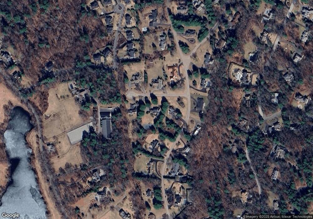
Map
Nearby Homes
- 10 Audubon Rd
- 21 Westerly Rd
- 1605 Wisteria Way
- 9 Sanderson Ln
- 19 Old Connecticut Path
- 4 Essex
- 253 Highland St
- 286 Country Dr
- 180 Highland St
- 16 Coltsway Unit 16CW
- 13 Rich Valley Rd
- 6 Steepletree Ln
- 823 Boston Post Rd
- 12 Cutting Cross Way
- 156 Boston Post Rd
- 1 Pine Summit Cir
- 5 Pickwick Way
- 741 Boston Post Rd
- 620 South Ave
- 83 Brown St
- 153 Buckskin Dr
- 145 Buckskin Dr
- 10 Apache Trail
- 5 Apache Trail
- 149 Buckskin Dr
- 9 Apache Trail
- 139 Buckskin Dr
- 139 Buckskin Dr Unit 1
- 148 Buckskin Dr
- 142 Buckskin Dr
- 142 Buckskin Dr
- 142 Buckskin Dr
- 150 Buckskin Dr
- 205 Rice Rd
- 138 Buckskin Dr
- 153 Buckskin Dr
- 138 Buckskin Dr
- 146 Buckskin Dr
- 21 Covered Bridge Ln
- 33 Whispering Ln
Your Personal Tour Guide
Ask me questions while you tour the home.