4 Atchison Cove Rd Sherman, CT 06784
Estimated Value: $1,263,717 - $1,913,000
5
Beds
6
Baths
4,313
Sq Ft
$352/Sq Ft
Est. Value
About This Home
This home is located at 4 Atchison Cove Rd, Sherman, CT 06784 and is currently estimated at $1,519,679, approximately $352 per square foot. 4 Atchison Cove Rd is a home with nearby schools including Sherman School.
Ownership History
Date
Name
Owned For
Owner Type
Purchase Details
Closed on
Dec 17, 2010
Sold by
Demaio Steven J
Bought by
Schessel Harry B and Turken Kisa J
Current Estimated Value
Home Financials for this Owner
Home Financials are based on the most recent Mortgage that was taken out on this home.
Original Mortgage
$592,000
Outstanding Balance
$389,796
Interest Rate
4.23%
Estimated Equity
$1,129,883
Create a Home Valuation Report for This Property
The Home Valuation Report is an in-depth analysis detailing your home's value as well as a comparison with similar homes in the area
Home Values in the Area
Average Home Value in this Area
Purchase History
| Date | Buyer | Sale Price | Title Company |
|---|---|---|---|
| Schessel Harry B | $135,000 | -- | |
| Schessel Harry B | $740,000 | -- | |
| Demaio Steven J | -- | -- | |
| Demaio Theresa | -- | -- | |
| Demaio Theresa | -- | -- | |
| Demaio Steven J | -- | -- |
Source: Public Records
Mortgage History
| Date | Status | Borrower | Loan Amount |
|---|---|---|---|
| Open | Demaio Steven J | $592,000 | |
| Previous Owner | Demaio Steven J | $75,000 |
Source: Public Records
Tax History Compared to Growth
Tax History
| Year | Tax Paid | Tax Assessment Tax Assessment Total Assessment is a certain percentage of the fair market value that is determined by local assessors to be the total taxable value of land and additions on the property. | Land | Improvement |
|---|---|---|---|---|
| 2025 | $11,631 | $697,700 | $109,700 | $588,000 |
| 2024 | $11,414 | $697,700 | $109,700 | $588,000 |
| 2023 | $12,433 | $697,700 | $109,700 | $588,000 |
| 2022 | $12,684 | $697,700 | $109,700 | $588,000 |
| 2021 | $6,200 | $697,700 | $109,700 | $588,000 |
| 2020 | $13,333 | $697,700 | $109,700 | $588,000 |
| 2019 | $13,821 | $697,700 | $109,700 | $588,000 |
| 2018 | $14,432 | $709,900 | $109,600 | $600,300 |
| 2017 | $14,434 | $710,000 | $109,700 | $600,300 |
| 2016 | $14,433 | $709,940 | $109,690 | $600,250 |
| 2015 | $14,227 | $709,940 | $109,690 | $600,250 |
| 2014 | $11,967 | $603,190 | $109,690 | $493,500 |
Source: Public Records
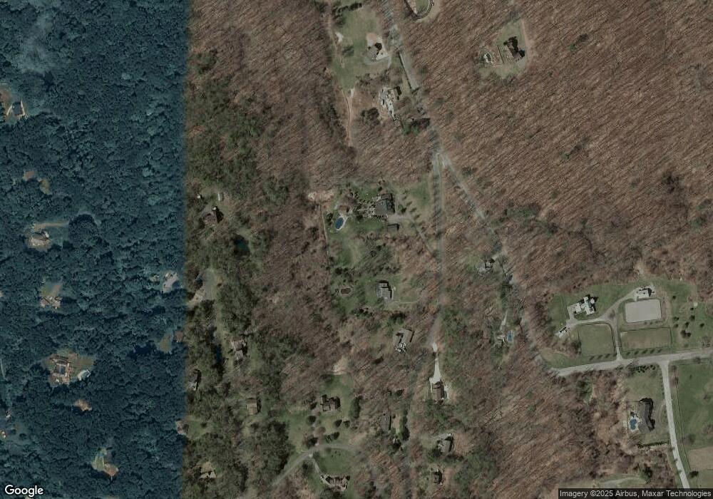
Map
Nearby Homes
- 21 Holiday Point Rd
- 6 Brinsmade Ln
- 18 Fox Run
- 7 Ridge Rd
- 8 Ledgewood Dr
- 2 Coburn Road W, She Coburn Rd W
- 4 Deer Run Trail
- 0 Sherman Rd
- 8 Candleview Dr
- 0 Candlewood Mountain Rd Unit 24137997
- 0 Candlewood Mountain Rd Unit 24138000
- 0 Candlewood Mountain Rd Unit 24134055
- 86 Connecticut 37
- 12 Shadow Ln
- 9 Tallow Ln
- 7 Glenview Dr
- 5 Stone Wall Ln
- 0 Rte 39 South State Route
- 29 Candlewood Common
- 22 Candlewood Common
- 2 Atchison Cove Rd
- 30 Hubbell Mountain Rd
- 32 Hubbell Mountain Rd
- 6 Atchison Cove Rd
- 8 Atchison Cove Rd
- 34 Hubbell Mountain Rd
- 8 Brookside Ln
- 28 Hubbell Mountain Rd
- 6 Irene Ln
- 4 Brookside Ln
- 1 Atchison Cove Rd
- 19 Cedar Point Dr
- 51 Hubbell Mountain Rd
- 10 Atchison Cove Rd
- 9 Hubbell Mountain Rd
- 3 Atchison Cove Rd
- 17 Brookside Ln
- 26 Hubbell Mountain Rd
- 2 Brookside Ln
- 9 Brookside Ln