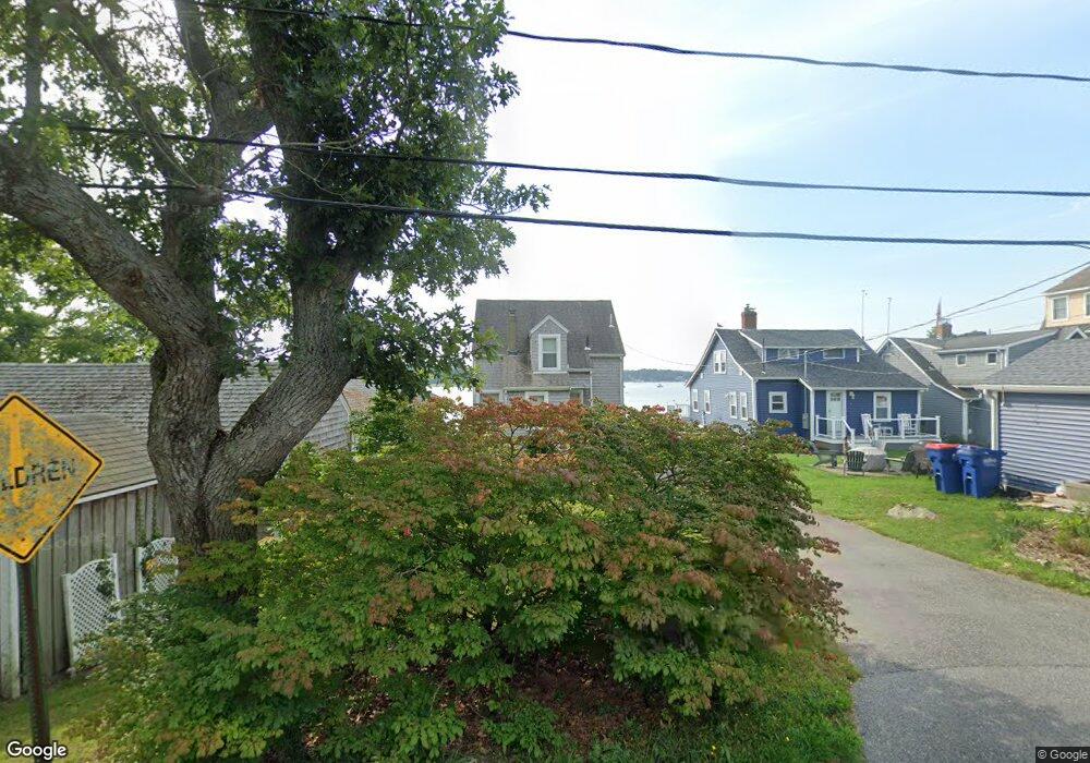
4 Barnacle Rd Wareham, MA 02571
Wareham Center NeighborhoodEstimated Value: $483,000 - $639,000
3
Beds
2
Baths
1,292
Sq Ft
$438/Sq Ft
Est. Value
About This Home
This home is located at 4 Barnacle Rd, Wareham, MA 02571 and is currently estimated at $565,653, approximately $437 per square foot. 4 Barnacle Rd is a home located in Plymouth County.
Create a Home Valuation Report for This Property
The Home Valuation Report is an in-depth analysis detailing your home's value as well as a comparison with similar homes in the area
Home Values in the Area
Average Home Value in this Area
Tax History
| Year | Tax Paid | Tax Assessment Tax Assessment Total Assessment is a certain percentage of the fair market value that is determined by local assessors to be the total taxable value of land and additions on the property. | Land | Improvement |
|---|---|---|---|---|
| 2025 | $5,504 | $528,200 | $273,900 | $254,300 |
| 2024 | $5,311 | $472,900 | $207,800 | $265,100 |
| 2023 | $4,973 | $430,300 | $188,900 | $241,400 |
| 2022 | $4,973 | $377,300 | $188,900 | $188,400 |
| 2021 | $4,718 | $350,800 | $188,900 | $161,900 |
| 2020 | $4,559 | $343,800 | $188,900 | $154,900 |
| 2019 | $4,055 | $305,100 | $157,800 | $147,300 |
| 2018 | $3,859 | $283,100 | $157,800 | $125,300 |
| 2017 | $3,808 | $283,100 | $157,800 | $125,300 |
| 2016 | $3,537 | $261,400 | $149,800 | $111,600 |
| 2015 | $3,380 | $258,600 | $149,800 | $108,800 |
| 2014 | $3,223 | $250,800 | $139,400 | $111,400 |
Source: Public Records
Map
Nearby Homes
- 1 Nimrod Way
- 10 Oak St
- 15 Broadmarsh Ave
- 6 Allen Ave
- 20 Grant St
- 43 Shore Ave
- 12 Oakdale St
- 21 Bayview St
- 10 Barnes St
- 10 Longmeadow Dr
- 110 Mayflower Ridge Dr
- 6 Bourne Terrace
- 58 Shady Ln
- 437 Main St
- 233 Marion Rd
- 156 Sandwich Rd
- 2697 Cranberry Hwy Unit 21
- 2743 Cranberry Hwy Unit 5D
- 7 Cranberry Ln
- 2645 Cranberry Hwy Unit A
Your Personal Tour Guide
Ask me questions while you tour the home.