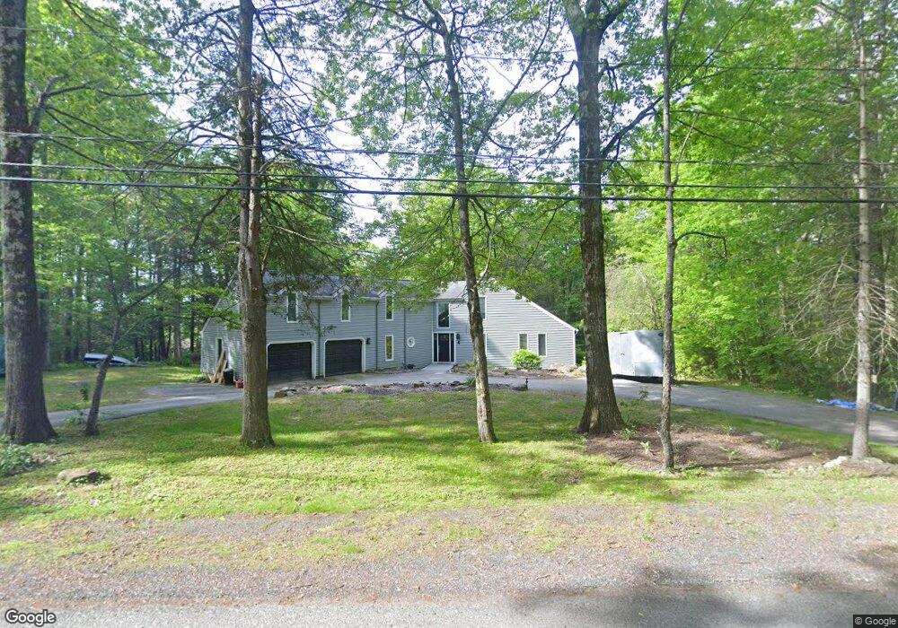
4 Birch Bluff Rd Montgomery, MA 01085
Estimated Value: $447,000 - $595,000
4
Beds
4
Baths
1,944
Sq Ft
$266/Sq Ft
Est. Value
About This Home
This home is located at 4 Birch Bluff Rd, Montgomery, MA 01085 and is currently estimated at $517,326, approximately $266 per square foot. 4 Birch Bluff Rd is a home located in Hampden County with nearby schools including Gateway Regional High School.
Ownership History
Date
Name
Owned For
Owner Type
Purchase Details
Closed on
Sep 15, 2006
Sold by
Deutsche Bank Natl T C
Bought by
Mckellick Daniel M and Mckellick Melissa J
Current Estimated Value
Home Financials for this Owner
Home Financials are based on the most recent Mortgage that was taken out on this home.
Original Mortgage
$210,400
Outstanding Balance
$126,628
Interest Rate
6.71%
Mortgage Type
Purchase Money Mortgage
Estimated Equity
$390,698
Create a Home Valuation Report for This Property
The Home Valuation Report is an in-depth analysis detailing your home's value as well as a comparison with similar homes in the area
Home Values in the Area
Average Home Value in this Area
Purchase History
| Date | Buyer | Sale Price | Title Company |
|---|---|---|---|
| Mckellick Daniel M | $263,000 | -- |
Source: Public Records
Mortgage History
| Date | Status | Borrower | Loan Amount |
|---|---|---|---|
| Open | Mckellick Daniel M | $210,400 | |
| Closed | Mckellick Daniel M | $39,400 |
Source: Public Records
Tax History
| Year | Tax Paid | Tax Assessment Tax Assessment Total Assessment is a certain percentage of the fair market value that is determined by local assessors to be the total taxable value of land and additions on the property. | Land | Improvement |
|---|---|---|---|---|
| 2025 | $5,030 | $443,600 | $77,200 | $366,400 |
| 2024 | $4,956 | $389,000 | $77,200 | $311,800 |
| 2023 | $4,505 | $303,400 | $65,900 | $237,500 |
| 2022 | $4,232 | $303,400 | $65,900 | $237,500 |
| 2021 | $4,030 | $289,900 | $65,900 | $224,000 |
| 2020 | $4,022 | $295,300 | $65,300 | $230,000 |
| 2019 | $3,904 | $295,300 | $65,300 | $230,000 |
| 2018 | $3,843 | $287,200 | $65,300 | $221,900 |
| 2017 | $3,820 | $277,000 | $69,500 | $207,500 |
| 2016 | $3,931 | $277,000 | $69,500 | $207,500 |
| 2015 | $4,038 | $281,000 | $64,700 | $216,300 |
| 2014 | $4,007 | $282,200 | $64,700 | $217,500 |
Source: Public Records
Map
Nearby Homes
- Lot 2 Jourdan Rd
- Lot 9 Jourdan Rd
- LOT 3 Brickyard Rd
- 132 North Rd
- 312 Fomer Rd
- 336 Russellville Rd
- 7 Quigley Rd
- 76 High St
- 6 Madison Ave
- 119 Brickyard Rd
- 202 Brickyard Rd
- Lot 5 Brickyard Rd
- Lot 5 Gil Farm Rd
- Lot 6 Gil Farm Rd
- 7 Stanton Ave
- 0 Lakeville Dam Rd Unit 25269273
- 0 Lakeville Dam Rd Unit 73445764
- 13 Basket St
- 5 Blueberry Hill Rd
- 7 1st Ave
- 56 Pineridge Rd
- 3 Birch Bluff Rd
- 61 Pineridge Rd
- 12 Birch Bluff Rd
- 8 Birch Bluff Rd
- 16 Birch Bluff Rd
- 55 Pineridge Rd
- 52 Pineridge Rd
- 29 Birch Bluff Rd
- 67 Pineridge Rd
- 00 Birch Bluff
- Lot 01 Birch Bluff Dr
- 70 Pineridge Rd
- 70 Pine Ridge Rd
- 33 Birch Bluff Rd
- 48 Pineridge Rd
- 73 Pineridge Rd
- 47 Pineridge Rd
- 38 Birch Bluff Rd
- 43 Birch Bluff Rd
Your Personal Tour Guide
Ask me questions while you tour the home.