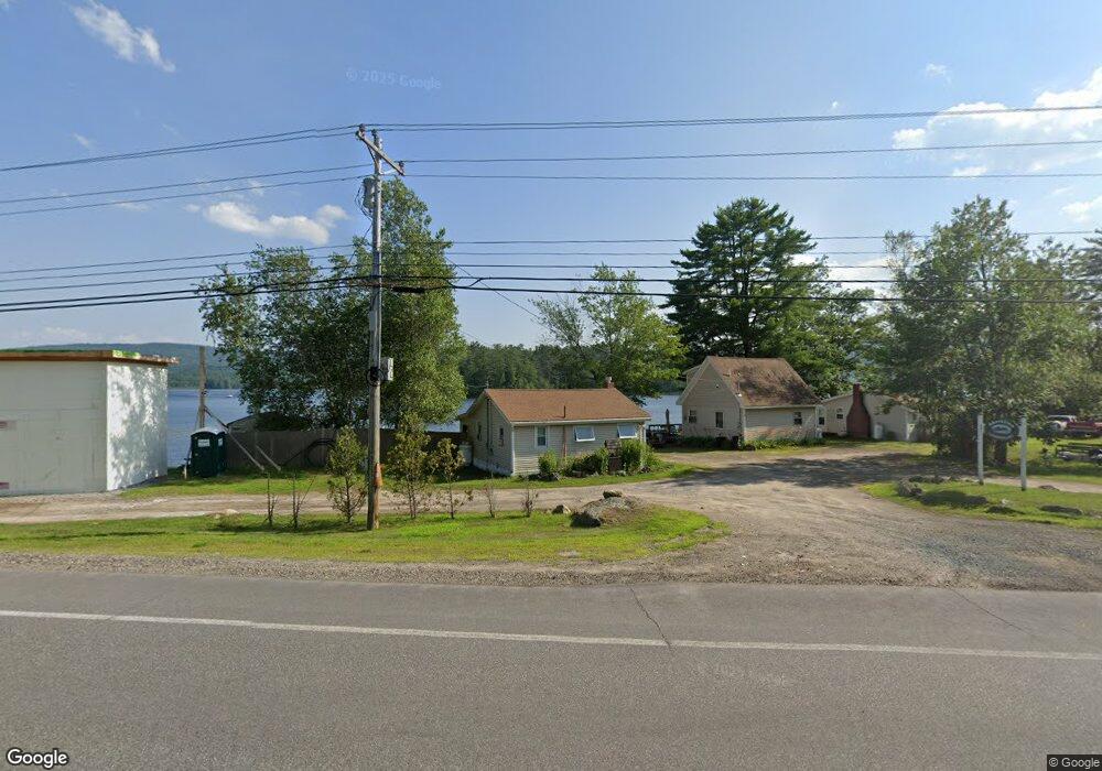
4 Cabin Dr Unit 2 New Hampton, NH 03256
Estimated Value: $281,000 - $449,000
2
Beds
1
Bath
648
Sq Ft
$537/Sq Ft
Est. Value
About This Home
This home is located at 4 Cabin Dr Unit 2, New Hampton, NH 03256 and is currently estimated at $347,883, approximately $536 per square foot. 4 Cabin Dr Unit 2 is a home located in Belknap County with nearby schools including New Hampton Community School, Lakeland School, and Laconia Christian Academy.
Ownership History
Date
Name
Owned For
Owner Type
Purchase Details
Closed on
Feb 27, 2015
Sold by
Renaud Eric P and Renaud Kristine A
Bought by
Murphy Anthony and Murphy Jennifer
Current Estimated Value
Home Financials for this Owner
Home Financials are based on the most recent Mortgage that was taken out on this home.
Original Mortgage
$120,750
Outstanding Balance
$92,414
Interest Rate
3.66%
Estimated Equity
$255,469
Purchase Details
Closed on
Aug 31, 2010
Sold by
Devens Jonathan and Edraos Deborah A
Bought by
Renaud Eric Paul and Renaud Kristine A
Home Financials for this Owner
Home Financials are based on the most recent Mortgage that was taken out on this home.
Original Mortgage
$99,400
Interest Rate
4.57%
Mortgage Type
Purchase Money Mortgage
Create a Home Valuation Report for This Property
The Home Valuation Report is an in-depth analysis detailing your home's value as well as a comparison with similar homes in the area
Home Values in the Area
Average Home Value in this Area
Purchase History
| Date | Buyer | Sale Price | Title Company |
|---|---|---|---|
| Murphy Anthony | $161,000 | -- | |
| Renaud Eric Paul | $142,000 | -- |
Source: Public Records
Mortgage History
| Date | Status | Borrower | Loan Amount |
|---|---|---|---|
| Open | Murphy Anthony | $120,750 | |
| Previous Owner | Renaud Eric Paul | $99,400 |
Source: Public Records
Tax History
| Year | Tax Paid | Tax Assessment Tax Assessment Total Assessment is a certain percentage of the fair market value that is determined by local assessors to be the total taxable value of land and additions on the property. | Land | Improvement |
|---|---|---|---|---|
| 2024 | $3,527 | $266,220 | $0 | $266,220 |
| 2023 | $3,251 | $266,220 | $0 | $266,220 |
| 2022 | $1,864 | $96,130 | $0 | $96,130 |
| 2021 | $1,801 | $96,130 | $0 | $96,130 |
| 2020 | $1,726 | $96,130 | $0 | $96,130 |
| 2019 | $1,850 | $96,130 | $0 | $96,130 |
| 2015 | $1,672 | $91,900 | $0 | $91,900 |
Source: Public Records
Map
Nearby Homes
- Lot 7 Lindsay Ln
- Lot 5 Lindsay Ln
- Lot 20 Smoke Rise Rd
- 447 Nh Route 104
- 82 Edgerly School Rd
- 35 Pinnacle Ridge Rd
- 65 Tucker Mountain Rd
- 21 Mansfield Woods Way
- 63 Mansfield Woods Way
- 6 Loon Point Rd
- 363 Main St
- 00 Chemung Rd Unit 31
- R3 Lot 30 Gordon Hill Rd
- 70 Hatch Corner Rd
- 571 New Hampshire 104
- 82 Jenness Hill Rd
- Lot 3 Winona Rd
- Lot 1 Winona Rd
- Lot 2 Winona Rd
- Lot 4 Winona Rd
- 3 Shoreline Dr
- 6 Cabin Dr Unit 3
- 9 Shoreline Dr Unit 9
- 5 Cabin Dr
- 7 Shoreline Dr
- 7-1 Appletree Ln
- 4 Appletree Ln Unit U09 / 003
- 4 Appletree Ln
- 7 Appletree Ln
- 0 Baldwin Ave Unit 7 4911642
- 0 Baldwin Ave Unit 4672295
- 6-A B Appletree Ln
- 11 Pemi Point
- 48 Appletree Ln
- 8 Baldwin Ave
- 7 Baldwin Ave
- 7 Baldwin Ave Unit 16 007
- 5 Pemi Point
- 12 Baldwin Ave
- 24 Baldwin Ave