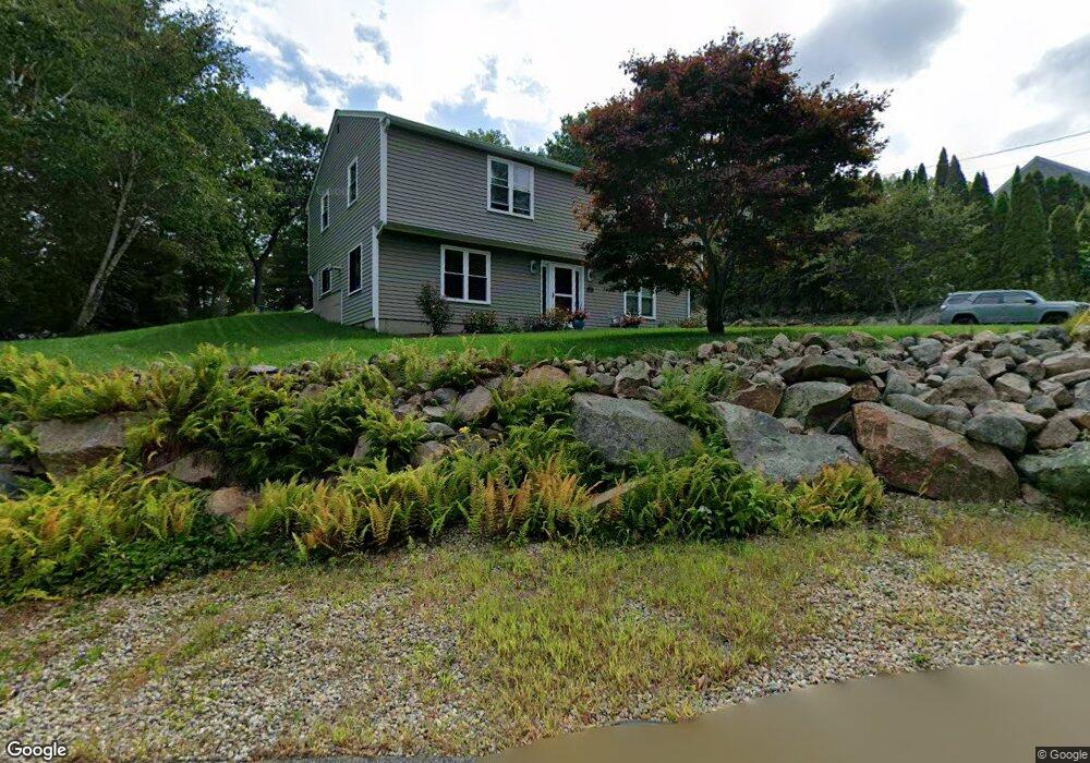
4 Carrie Ln Gloucester, MA 01930
West Gloucester NeighborhoodEstimated Value: $650,143 - $735,000
2
Beds
2
Baths
1,120
Sq Ft
$618/Sq Ft
Est. Value
About This Home
This home is located at 4 Carrie Ln, Gloucester, MA 01930 and is currently estimated at $692,036, approximately $617 per square foot. 4 Carrie Ln is a home located in Essex County with nearby schools including West Parish, Ralph B O'maley Middle School, and Gloucester High School.
Ownership History
Date
Name
Owned For
Owner Type
Purchase Details
Closed on
Jun 9, 1992
Sold by
Fryklund Rlty Corp
Bought by
Mason Mark E and Mason Victoria A
Current Estimated Value
Create a Home Valuation Report for This Property
The Home Valuation Report is an in-depth analysis detailing your home's value as well as a comparison with similar homes in the area
Home Values in the Area
Average Home Value in this Area
Purchase History
| Date | Buyer | Sale Price | Title Company |
|---|---|---|---|
| Mason Mark E | $133,000 | -- |
Source: Public Records
Mortgage History
| Date | Status | Borrower | Loan Amount |
|---|---|---|---|
| Open | Mason Mark E | $190,000 | |
| Closed | Mason Mark E | $73,000 | |
| Closed | Mason Mark E | $72,000 |
Source: Public Records
Tax History
| Year | Tax Paid | Tax Assessment Tax Assessment Total Assessment is a certain percentage of the fair market value that is determined by local assessors to be the total taxable value of land and additions on the property. | Land | Improvement |
|---|---|---|---|---|
| 2025 | $5,522 | $568,100 | $217,900 | $350,200 |
| 2024 | $5,637 | $579,300 | $207,400 | $371,900 |
| 2023 | $5,393 | $509,300 | $185,200 | $324,100 |
| 2022 | $5,036 | $429,300 | $161,000 | $268,300 |
| 2021 | $4,964 | $399,000 | $146,400 | $252,600 |
| 2020 | $4,687 | $380,100 | $146,400 | $233,700 |
| 2019 | $4,728 | $372,600 | $146,400 | $226,200 |
| 2018 | $4,483 | $346,700 | $146,400 | $200,300 |
| 2017 | $4,234 | $321,000 | $139,400 | $181,600 |
| 2016 | $4,282 | $314,600 | $145,400 | $169,200 |
| 2015 | $4,109 | $301,000 | $145,400 | $155,600 |
Source: Public Records
Map
Nearby Homes
- 18 Lyndale Ave
- 368 Essex Ave
- 5 Samoset Rd Unit B
- 5 Lepage Ln
- 24 Cobblestone Ln Unit 603
- 145 Essex Ave Unit 402
- 5 Marshfield St
- 13 Leslie o Johnson Rd
- 450 Summer St
- 53 Raymond St
- 468 Summer St
- 2 Ocean Ave Unit 2K
- 15 Harvard St
- 24 Flume Rd
- 587 Essex Ave
- 3 Rockland St
- 20 Beacon St
- 20 Beacon St Unit 2
- 20 Beacon St Unit 1
- 120 Washington St
- 6 Carrie Ln
- 2 Carrie Ln
- 8 Carrie Ln
- 350 Magnolia Ave
- 62 Laurel St
- 60 Laurel St
- 64 Laurel St
- 56 Laurel St
- 354 Magnolia Ave
- 54 Laurel St
- 52 Laurel St
- 371 Magnolia Ave
- 362 Magnolia Ave
- 48 Laurel St
- 291 Magnolia Ave
- 295 Magnolia Ave
- 295 Magnolia Ave Unit Rain Gaudreau
- 46 Laurel St
- 377 Magnolia Ave
- 44 Laurel St
Your Personal Tour Guide
Ask me questions while you tour the home.