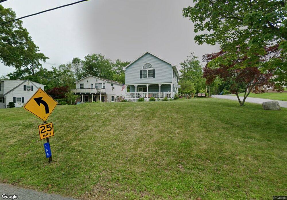
4 Carter Ln Branchville, NJ 07826
Estimated Value: $202,000 - $266,000
--
Bed
--
Bath
590
Sq Ft
$385/Sq Ft
Est. Value
About This Home
This home is located at 4 Carter Ln, Branchville, NJ 07826 and is currently estimated at $227,298, approximately $385 per square foot. 4 Carter Ln is a home located in Sussex County with nearby schools including Frankford Township School and High Point Regional High School.
Ownership History
Date
Name
Owned For
Owner Type
Purchase Details
Closed on
Jun 17, 2024
Sold by
Trestka Jane and Trestka Stanley
Bought by
Walentowicz Kathleen
Current Estimated Value
Purchase Details
Closed on
Jul 26, 2011
Sold by
Happy Skylarks Llc
Bought by
Trestka Melanie and Trestka Jane
Purchase Details
Closed on
Dec 10, 2010
Sold by
Puzio Gary
Bought by
Happy Sky Larks Llc
Create a Home Valuation Report for This Property
The Home Valuation Report is an in-depth analysis detailing your home's value as well as a comparison with similar homes in the area
Home Values in the Area
Average Home Value in this Area
Purchase History
| Date | Buyer | Sale Price | Title Company |
|---|---|---|---|
| Walentowicz Kathleen | -- | Chicago Title | |
| Trestka Melanie | -- | None Available | |
| Happy Sky Larks Llc | $97,500 | Chicago Title Insurance Co |
Source: Public Records
Tax History Compared to Growth
Tax History
| Year | Tax Paid | Tax Assessment Tax Assessment Total Assessment is a certain percentage of the fair market value that is determined by local assessors to be the total taxable value of land and additions on the property. | Land | Improvement |
|---|---|---|---|---|
| 2025 | $3,057 | $102,800 | $77,500 | $25,300 |
| 2024 | $2,966 | $102,800 | $77,500 | $25,300 |
| 2023 | $2,966 | $102,800 | $77,500 | $25,300 |
| 2022 | $2,894 | $102,800 | $77,500 | $25,300 |
| 2021 | $2,806 | $102,800 | $77,500 | $25,300 |
| 2020 | $2,726 | $102,800 | $77,500 | $25,300 |
| 2019 | $2,649 | $102,800 | $77,500 | $25,300 |
| 2018 | $2,624 | $102,800 | $77,500 | $25,300 |
| 2017 | $2,615 | $102,800 | $77,500 | $25,300 |
| 2016 | $2,648 | $102,800 | $77,500 | $25,300 |
| 2015 | $2,635 | $102,800 | $77,500 | $25,300 |
| 2014 | $2,695 | $102,800 | $77,500 | $25,300 |
Source: Public Records
Map
Nearby Homes
- 127 E Shore Culver Rd
- 30 - 31 E Shore Culver Rd
- 64 Mattison Rd
- 11 Perry Trail
- 7 Laurel Ave
- 15 Forest St
- 1 Lakeview Point Ave
- 39 Stehr St
- 112 Wantage Ave
- 99 Phillips Rd
- 461 U S Highway 206
- 9 Maple Ln
- 19 E Shore Lake Owassa Rd
- 13 U S 206
- 25 E Shore Lake Owassa Rd
- 4 Lake Path 1
- 10 Main St
- 8 Main St
- 26 Mill Ln
- 27 Mountain Trail
- 6 Carter Ln
- 167 E Shore Culver Rd
- 165 E Shore Culver Rd
- 169 E Shore Culver Rd
- 5 14th St
- 171 E Shore Culver Rd
- 163 E Shore Culver Rd
- 7 14th St
- 8 Carter Ln
- 9 14th St
- 161 E Shore Culver Rd
- 7 Carouter Ln
- 159 E Shore Culver Rd
- 6 14th St
- 179 E Shore Culver Rd
- 170 E Shore Culver Rd
- 11 Nook Ln
- 157 E Shore Culver Rd
- 172 E Shore Culver Rd
- 6 12th St