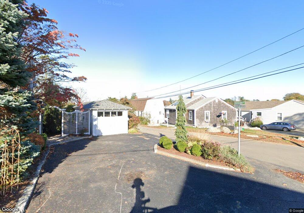
4 Cedar Ln Gloucester, MA 01930
Riverview NeighborhoodEstimated Value: $835,000 - $1,168,000
3
Beds
2
Baths
2,328
Sq Ft
$431/Sq Ft
Est. Value
About This Home
This home is located at 4 Cedar Ln, Gloucester, MA 01930 and is currently estimated at $1,002,466, approximately $430 per square foot. 4 Cedar Ln is a home located in Essex County with nearby schools including Beeman Memorial, Ralph B O'maley Middle School, and Gloucester High School.
Ownership History
Date
Name
Owned For
Owner Type
Purchase Details
Closed on
Dec 1, 1967
Bought by
Harvey Philip E and Harvey Elaine
Current Estimated Value
Create a Home Valuation Report for This Property
The Home Valuation Report is an in-depth analysis detailing your home's value as well as a comparison with similar homes in the area
Home Values in the Area
Average Home Value in this Area
Purchase History
| Date | Buyer | Sale Price | Title Company |
|---|---|---|---|
| Harvey Philip E | -- | -- |
Source: Public Records
Mortgage History
| Date | Status | Borrower | Loan Amount |
|---|---|---|---|
| Open | Harvey Philip E | $210,000 | |
| Closed | Harvey Philip E | $50,000 | |
| Closed | Harvey Philip E | $50,000 |
Source: Public Records
Tax History
| Year | Tax Paid | Tax Assessment Tax Assessment Total Assessment is a certain percentage of the fair market value that is determined by local assessors to be the total taxable value of land and additions on the property. | Land | Improvement |
|---|---|---|---|---|
| 2025 | $9,469 | $974,200 | $397,000 | $577,200 |
| 2024 | $9,294 | $955,200 | $378,000 | $577,200 |
| 2023 | $8,916 | $841,900 | $337,600 | $504,300 |
| 2022 | $8,671 | $739,200 | $287,000 | $452,200 |
| 2021 | $8,366 | $672,500 | $260,800 | $411,700 |
| 2020 | $8,339 | $676,300 | $260,800 | $415,500 |
| 2019 | $8,114 | $639,400 | $260,800 | $378,600 |
| 2018 | $7,929 | $613,200 | $260,800 | $352,400 |
| 2017 | $7,686 | $582,700 | $248,500 | $334,200 |
| 2016 | $7,577 | $556,700 | $249,400 | $307,300 |
| 2015 | $7,250 | $531,100 | $249,400 | $281,700 |
Source: Public Records
Map
Nearby Homes
- 13 Honeysuckle Rd
- 2 Breezy Point Rd
- 3 Deacon Farm Ln
- 31 Echo Ave
- 167 Atlantic St
- 178 Atlantic St
- 672 Washington St
- 226 Atlantic St
- 3 Rockland St
- 13 Mystic Ave
- 8 Mystic Ave
- 6 Monroe Ct
- 98 Maplewood Ave
- 9 Cleveland Place
- 12 Arthur St
- 5 Samoset Rd Unit B
- 145 Essex Ave Unit 402
- 40 Sargent St
- 15 Harvard St
- 24 Cobblestone Ln Unit 603
- 09 Cedar Ln
- 2 Cedar Ln
- 6 Cedar Ln
- 62 Thurston Point Rd
- 64 Thurston Point Rd
- 3 Cedar Ln
- 1 Cedar Ln
- Lot 11E Road b
- 5 Cedar Ln
- 66 Thurston Point Rd
- 8 Thurston Ln
- 8 Thurston Ln Unit 2
- 10 Cedar Ln
- 9 Cedar Ln
- 47 Thurston Point Rd
- 8 Thurston Lane U:2 Unit WINTER RENT
- 1 Mako Dr Unit 1
- 1 Mako Dr
- 11 Cedar Ln
- 11 Cedar Ln
Your Personal Tour Guide
Ask me questions while you tour the home.