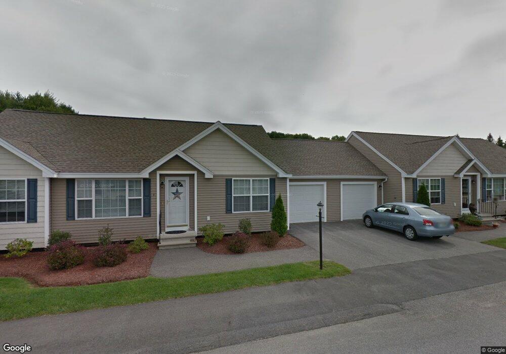
4 Cedar St Hooksett, NH 03106
Estimated Value: $353,000 - $406,000
2
Beds
2
Baths
1,237
Sq Ft
$309/Sq Ft
Est. Value
About This Home
This home is located at 4 Cedar St, Hooksett, NH 03106 and is currently estimated at $381,653, approximately $308 per square foot. 4 Cedar St is a home located in Merrimack County with nearby schools including Fred C. Underhill School, Hooksett Memorial School, and David R. Cawley Middle School.
Ownership History
Date
Name
Owned For
Owner Type
Purchase Details
Closed on
Jun 25, 2013
Sold by
Millard Coleen
Bought by
Sufat Stephen M and Sufat Linda E
Current Estimated Value
Purchase Details
Closed on
Jun 25, 2007
Sold by
Miacomet Development L
Bought by
Millard Coleen
Create a Home Valuation Report for This Property
The Home Valuation Report is an in-depth analysis detailing your home's value as well as a comparison with similar homes in the area
Home Values in the Area
Average Home Value in this Area
Purchase History
| Date | Buyer | Sale Price | Title Company |
|---|---|---|---|
| Sufat Stephen M | $173,000 | -- | |
| Sufat Stephen M | $173,000 | -- | |
| Millard Coleen | $206,200 | -- | |
| Millard Coleen | $206,200 | -- |
Source: Public Records
Mortgage History
| Date | Status | Borrower | Loan Amount |
|---|---|---|---|
| Previous Owner | Millard Coleen | $113,500 | |
| Previous Owner | Millard Coleen | $112,000 | |
| Previous Owner | Millard Coleen | $106,000 |
Source: Public Records
Tax History
| Year | Tax Paid | Tax Assessment Tax Assessment Total Assessment is a certain percentage of the fair market value that is determined by local assessors to be the total taxable value of land and additions on the property. | Land | Improvement |
|---|---|---|---|---|
| 2024 | $5,877 | $346,500 | $0 | $346,500 |
| 2023 | $5,537 | $346,500 | $0 | $346,500 |
| 2022 | $4,784 | $198,900 | $0 | $198,900 |
| 2021 | $4,420 | $198,900 | $0 | $198,900 |
| 2020 | $4,477 | $198,900 | $0 | $198,900 |
| 2019 | $4,286 | $198,900 | $0 | $198,900 |
| 2018 | $4,400 | $198,900 | $0 | $198,900 |
| 2017 | $3,861 | $144,400 | $0 | $144,400 |
| 2016 | $3,811 | $144,400 | $0 | $144,400 |
| 2015 | $254 | $144,200 | $0 | $144,200 |
| 2014 | $3,580 | $144,200 | $0 | $144,200 |
| 2013 | $3,386 | $144,200 | $0 | $144,200 |
Source: Public Records
Map
Nearby Homes
- 1821 Hooksett Rd
- 59 Post Rd
- 131 Merrimack St
- 117 Merrimack St
- 8 Short Ave
- 2 Brandywine Dr
- 8 Park St
- 1601 Hooksett Rd
- 7 Oak St
- 422 Dawn Dr Unit 23
- 427 Dawn Dr Unit 15
- 0 Chester Turnpike Unit 18
- 26 Parkwood Dr
- 15 Sullivan Dr
- 430 Dawn Dr Unit 20
- 0 Granite St Unit 48
- 19 Sullivan Dr
- 1465 Hooksett Rd Unit 418
- 1465 Hooksett Rd Unit 183
- 1465 Hooksett Rd Unit 390
Your Personal Tour Guide
Ask me questions while you tour the home.