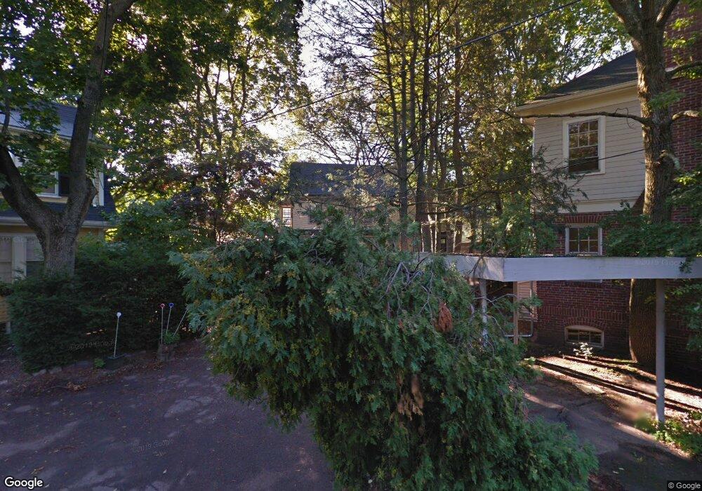
4 Channing Cir Cambridge, MA 02138
West Cambridge NeighborhoodEstimated Value: $2,278,000 - $3,091,000
4
Beds
2
Baths
1,643
Sq Ft
$1,628/Sq Ft
Est. Value
About This Home
This home is located at 4 Channing Cir, Cambridge, MA 02138 and is currently estimated at $2,675,224, approximately $1,628 per square foot. 4 Channing Cir is a home located in Middlesex County with nearby schools including Buckingham Browne & Nichols School, Shady Hill School, and St Peter School.
Ownership History
Date
Name
Owned For
Owner Type
Purchase Details
Closed on
Dec 11, 2008
Sold by
Doolittle John T and Doolittle Nancy B
Bought by
Glenmullen Muireann
Current Estimated Value
Home Financials for this Owner
Home Financials are based on the most recent Mortgage that was taken out on this home.
Original Mortgage
$700,000
Interest Rate
6.49%
Mortgage Type
Purchase Money Mortgage
Create a Home Valuation Report for This Property
The Home Valuation Report is an in-depth analysis detailing your home's value as well as a comparison with similar homes in the area
Home Values in the Area
Average Home Value in this Area
Purchase History
| Date | Buyer | Sale Price | Title Company |
|---|---|---|---|
| Glenmullen Muireann | $900,000 | -- | |
| Glenmullen Muireann | $900,000 | -- |
Source: Public Records
Mortgage History
| Date | Status | Borrower | Loan Amount |
|---|---|---|---|
| Open | Glenmullen Muireann | $500,000 | |
| Closed | Glenmullen Muireann | $700,000 |
Source: Public Records
Tax History
| Year | Tax Paid | Tax Assessment Tax Assessment Total Assessment is a certain percentage of the fair market value that is determined by local assessors to be the total taxable value of land and additions on the property. | Land | Improvement |
|---|---|---|---|---|
| 2025 | $17,802 | $2,803,400 | $1,696,600 | $1,106,800 |
| 2024 | $17,484 | $2,953,400 | $1,661,000 | $1,292,400 |
| 2023 | $16,914 | $2,886,300 | $1,625,500 | $1,260,800 |
| 2022 | $15,462 | $2,611,900 | $1,495,300 | $1,116,600 |
| 2021 | $14,654 | $2,504,900 | $1,466,300 | $1,038,600 |
| 2020 | $13,802 | $2,400,300 | $1,415,500 | $984,800 |
| 2019 | $12,801 | $2,155,000 | $1,241,200 | $913,800 |
| 2018 | $11,557 | $2,125,700 | $1,234,000 | $891,700 |
| 2017 | $13,489 | $2,078,500 | $1,234,000 | $844,500 |
| 2016 | $12,980 | $1,857,000 | $1,085,200 | $771,800 |
| 2015 | -- | $1,688,500 | $998,100 | $690,400 |
| 2014 | $13,835 | $1,650,900 | $907,400 | $743,500 |
Source: Public Records
Map
Nearby Homes
- 172 Brattle St
- 1010 Memorial Dr Unit 6F
- 159 Brattle St
- 157 Brattle St
- 153 Brattle St
- 46 Foster St
- 35 Willard St
- 119 Appleton St
- 497 Mount Auburn St
- 117 Lexington Ave Unit 117
- 59-61 Reservoir St Unit 2
- 992 Memorial Dr Unit 106
- 3 Berkeley Place
- 65 Fresh Pond Pkwy
- 5 Brewer St Unit 5
- 4 Craigie St Unit 2
- 985 Memorial Dr Unit 603
- 985 Memorial Dr Unit 303
- 984 Memorial Dr Unit 984-503
- 22 Concord Ave Unit 10
- 16 Channing St
- 16 Channing St Unit 16
- 5 Channing Cir
- 321 Mount Auburn St Unit 323
- 321 Mount Auburn St Unit 323
- 321 Mount Auburn St Unit 2
- 321 Mount Auburn St Unit 1
- 321 Mount Auburn St Unit 1 321
- 18 Channing St
- 18 Channing St Unit 1
- 18 Channing St
- 18 Channing St Unit 3
- 17 Longfellow Rd
- 7 Longfellow Rd
- 19 Longfellow Rd Unit 21
- 3 Channing Cir
- 14 Channing St
- 13 Longfellow Rd
- 3 Longfellow Rd
- 3 Longfellow Rd Unit 2
Your Personal Tour Guide
Ask me questions while you tour the home.