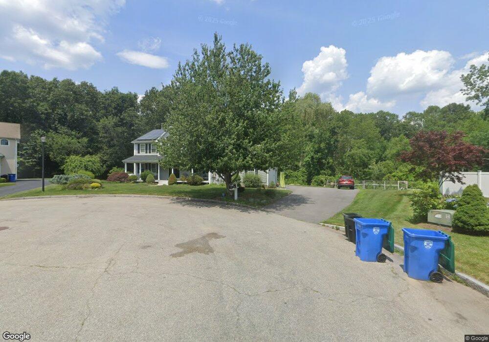
4 Christian Ct Lincoln, RI 02865
Lonsdale NeighborhoodEstimated Value: $764,000 - $991,227
4
Beds
4
Baths
3,077
Sq Ft
$292/Sq Ft
Est. Value
About This Home
This home is located at 4 Christian Ct, Lincoln, RI 02865 and is currently estimated at $897,557, approximately $291 per square foot. 4 Christian Ct is a home located in Providence County with nearby schools including Lincoln Senior High School, Blackstone Valley Prep Elementary School 1, and Blackstone Valley Prep Upper Elementary School.
Ownership History
Date
Name
Owned For
Owner Type
Purchase Details
Closed on
Dec 10, 2010
Sold by
Parrott Michael J and Parrott Kimberly J
Bought by
Colins Bradley J and Colins Tiffany R
Current Estimated Value
Create a Home Valuation Report for This Property
The Home Valuation Report is an in-depth analysis detailing your home's value as well as a comparison with similar homes in the area
Home Values in the Area
Average Home Value in this Area
Purchase History
| Date | Buyer | Sale Price | Title Company |
|---|---|---|---|
| Colins Bradley J | $495,000 | -- |
Source: Public Records
Mortgage History
| Date | Status | Borrower | Loan Amount |
|---|---|---|---|
| Open | Colins Bradley J | $79,000 | |
| Open | Colins Bradley J | $420,000 | |
| Closed | Colins Bradley J | $417,000 |
Source: Public Records
Tax History Compared to Growth
Tax History
| Year | Tax Paid | Tax Assessment Tax Assessment Total Assessment is a certain percentage of the fair market value that is determined by local assessors to be the total taxable value of land and additions on the property. | Land | Improvement |
|---|---|---|---|---|
| 2025 | $11,117 | $822,300 | $211,100 | $611,200 |
| 2024 | $11,035 | $636,000 | $169,600 | $466,400 |
| 2023 | $10,488 | $636,000 | $169,600 | $466,400 |
| 2022 | $10,462 | $636,000 | $169,600 | $466,400 |
| 2021 | $11,123 | $548,200 | $141,900 | $406,300 |
| 2020 | $10,982 | $545,300 | $141,900 | $403,400 |
| 2018 | $10,871 | $486,400 | $129,400 | $357,000 |
| 2017 | $10,258 | $468,400 | $129,400 | $339,000 |
| 2016 | $10,117 | $468,400 | $129,400 | $339,000 |
| 2015 | $11,233 | $477,400 | $127,600 | $349,800 |
| 2014 | $11,252 | $477,400 | $127,600 | $349,800 |
Source: Public Records
Map
Nearby Homes
- 5 Christian Ct
- 3 Christian Ct
- 2 Christian Ct
- 6 Christian Ct
- 6 David Dr
- 1 Christian Ct
- 4 David Dr
- 8 David Dr
- 39 Holiday Dr
- 14 Duxbury Ct
- 10 David Dr
- 0 Christian Ct Unit 558893
- 0 Christian Ct Unit 558895
- 0 Christian Ct Unit 558890
- 0 Christian Ct Unit 647886
- 0 Christian Ct Unit 1015161
- 0 Christian Ct Unit 1023508
- 0 Christian Ct Unit 1023515
- 0 Christian Ct Unit 1031641
- 11 Duxbury Ct