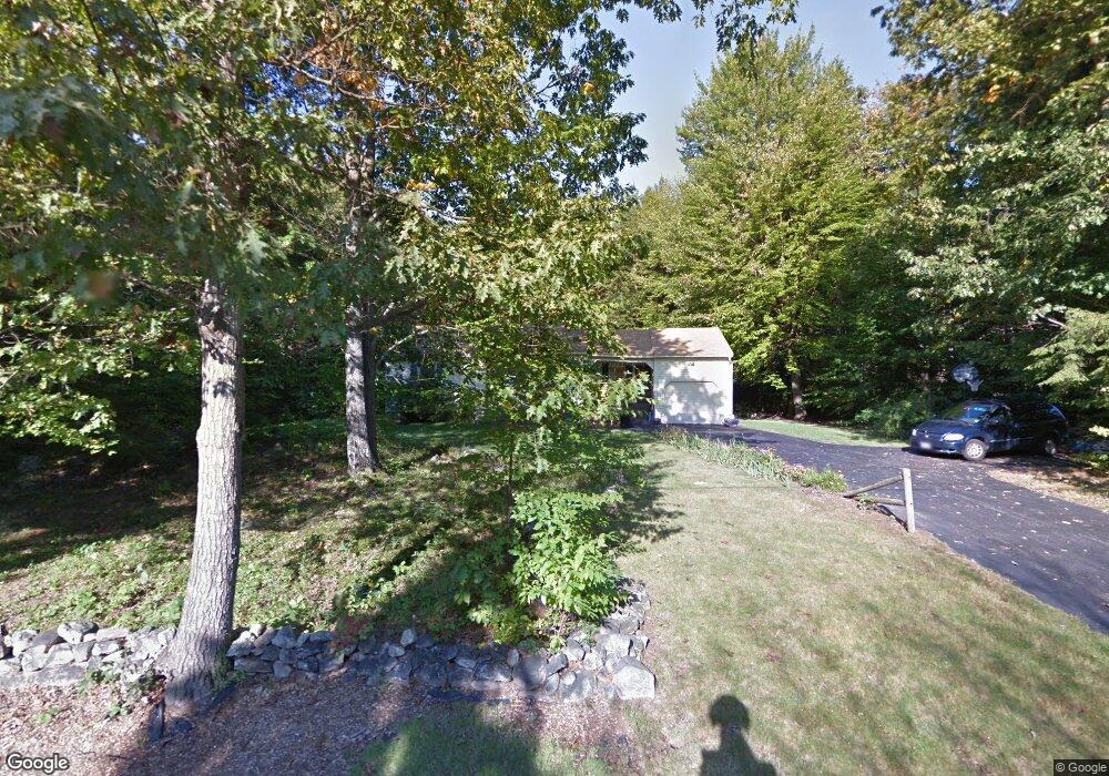
4 Clay St Hooksett, NH 03106
Estimated Value: $424,000 - $510,000
2
Beds
2
Baths
1,139
Sq Ft
$405/Sq Ft
Est. Value
About This Home
This home is located at 4 Clay St, Hooksett, NH 03106 and is currently estimated at $461,080, approximately $404 per square foot. 4 Clay St is a home located in Merrimack County with nearby schools including Fred C. Underhill School, Hooksett Memorial School, and David R. Cawley Middle School.
Ownership History
Date
Name
Owned For
Owner Type
Purchase Details
Closed on
Sep 10, 2019
Sold by
Doris M Baehr Ret
Bought by
Gager Nicole and Jarnutowski Ryan
Current Estimated Value
Home Financials for this Owner
Home Financials are based on the most recent Mortgage that was taken out on this home.
Original Mortgage
$198,850
Outstanding Balance
$173,045
Interest Rate
3.5%
Mortgage Type
Purchase Money Mortgage
Estimated Equity
$288,035
Purchase Details
Closed on
Oct 30, 1995
Bought by
Doris M Baehr Ret
Create a Home Valuation Report for This Property
The Home Valuation Report is an in-depth analysis detailing your home's value as well as a comparison with similar homes in the area
Home Values in the Area
Average Home Value in this Area
Purchase History
| Date | Buyer | Sale Price | Title Company |
|---|---|---|---|
| Gager Nicole | $205,000 | -- | |
| Doris M Baehr Ret | -- | -- |
Source: Public Records
Mortgage History
| Date | Status | Borrower | Loan Amount |
|---|---|---|---|
| Open | Gager Nicole | $198,850 |
Source: Public Records
Tax History
| Year | Tax Paid | Tax Assessment Tax Assessment Total Assessment is a certain percentage of the fair market value that is determined by local assessors to be the total taxable value of land and additions on the property. | Land | Improvement |
|---|---|---|---|---|
| 2024 | $6,689 | $394,400 | $143,300 | $251,100 |
| 2023 | $6,303 | $394,400 | $143,300 | $251,100 |
| 2022 | $5,558 | $231,100 | $97,400 | $133,700 |
| 2021 | $5,135 | $231,100 | $97,400 | $133,700 |
| 2020 | $5,202 | $231,100 | $97,400 | $133,700 |
| 2019 | $4,980 | $231,100 | $97,400 | $133,700 |
| 2018 | $22,783 | $231,100 | $97,400 | $133,700 |
| 2017 | $5,073 | $189,700 | $89,600 | $100,100 |
| 2016 | $4,589 | $189,700 | $89,600 | $100,100 |
| 2015 | $1,379 | $189,700 | $89,600 | $100,100 |
| 2014 | $4,710 | $189,700 | $89,600 | $100,100 |
| 2013 | $4,454 | $189,700 | $89,600 | $100,100 |
Source: Public Records
Map
Nearby Homes
- 347 and 26 Whitehall Road and Chester Turnpike
- 909 High St
- 0 N Candia Rd Unit 21 5039875
- 843 High St Unit 13A
- 669 High St
- 199 Whitehall Rd
- 197 Whitehall Rd
- 361 Chester Turnpike
- 733 North Rd
- 5 Thistle Ln
- 0 Chester Turnpike Unit 18
- 10 Harvard Ave
- 32 Lindsay Rd
- 392 High St
- 10 Dewberry Ln
- Lot 80-1 Currier Rd
- 37 Jane Dr
- 267 Londonderry Turnpike
- 289 Currier Rd
- 192 Londonderry Turnpike
Your Personal Tour Guide
Ask me questions while you tour the home.