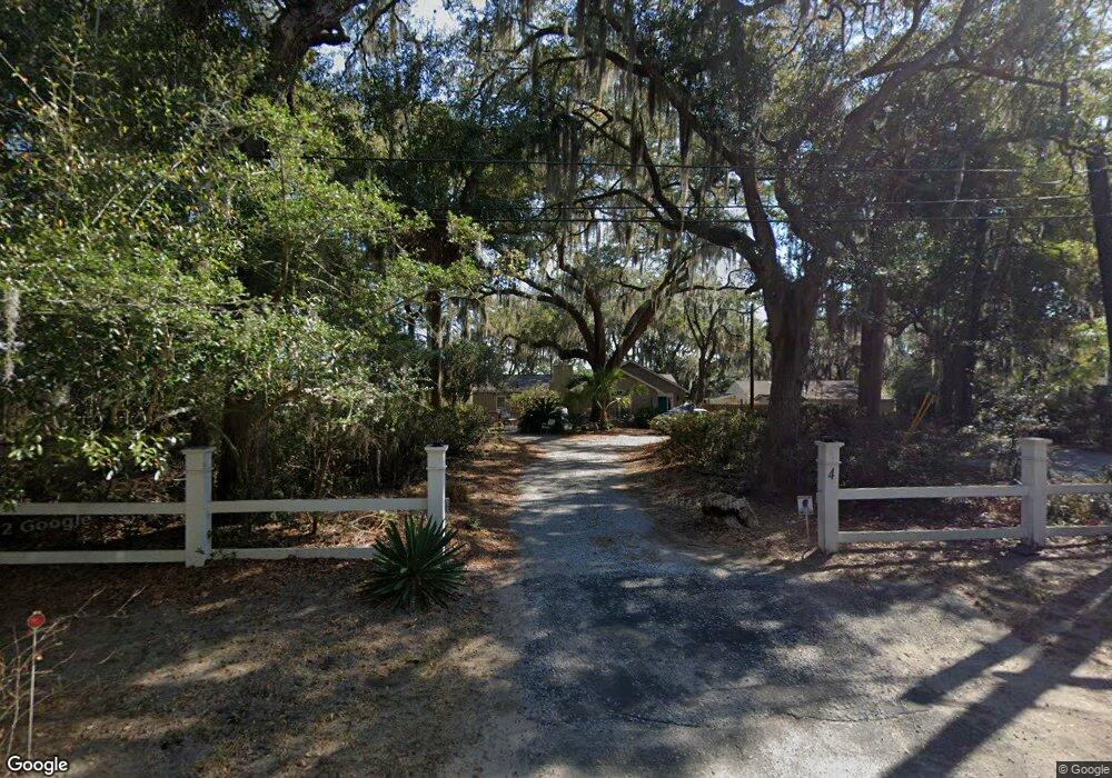
4 Cove Rd Beaufort, SC 29907
Estimated Value: $472,000 - $713,824
1
Bed
--
Bath
1,911
Sq Ft
$307/Sq Ft
Est. Value
About This Home
This home is located at 4 Cove Rd, Beaufort, SC 29907 and is currently estimated at $586,456, approximately $306 per square foot. 4 Cove Rd is a home located in Beaufort County with nearby schools including Lady's Island Elementary School, Lady's Island Middle School, and Beaufort High School.
Ownership History
Date
Name
Owned For
Owner Type
Purchase Details
Closed on
Jan 3, 2022
Sold by
Rabon Achor Jaimie
Bought by
Rabon-Achor Jaimie and Rabon Scott A
Current Estimated Value
Purchase Details
Closed on
Jan 28, 2021
Sold by
Lubkin Martha J
Bought by
Harolds R Us Llc
Home Financials for this Owner
Home Financials are based on the most recent Mortgage that was taken out on this home.
Original Mortgage
$441,700
Interest Rate
2.67%
Mortgage Type
Stand Alone Second
Purchase Details
Closed on
Feb 3, 2010
Sold by
Estate Of Edward Marion Lubkin and Lubkin Martha Joyce
Bought by
Lubkin Martha J
Create a Home Valuation Report for This Property
The Home Valuation Report is an in-depth analysis detailing your home's value as well as a comparison with similar homes in the area
Purchase History
| Date | Buyer | Sale Price | Title Company |
|---|---|---|---|
| Rabon-Achor Jaimie | -- | Logan Law Firm | |
| Harolds R Us Llc | $365,000 | None Available | |
| Lubkin Martha J | -- | -- |
Source: Public Records
Mortgage History
| Date | Status | Borrower | Loan Amount |
|---|---|---|---|
| Previous Owner | Harolds R Us Llc | $441,700 |
Source: Public Records
Tax History
| Year | Tax Paid | Tax Assessment Tax Assessment Total Assessment is a certain percentage of the fair market value that is determined by local assessors to be the total taxable value of land and additions on the property. | Land | Improvement |
|---|---|---|---|---|
| 2025 | $2,425 | $16,790 | $0 | $0 |
| 2024 | $2,425 | $20,120 | $14,000 | $6,120 |
| 2023 | $2,425 | $20,120 | $14,000 | $6,120 |
| 2022 | $2,272 | $14,600 | $10,000 | $4,600 |
| 2021 | $1,614 | $12,500 | $0 | $0 |
| 2020 | $1,597 | $15,412 | $10,000 | $5,412 |
| 2019 | $1,561 | $15,412 | $10,000 | $5,412 |
| 2018 | $1,513 | $12,500 | $0 | $0 |
| 2017 | $1,298 | $10,870 | $0 | $0 |
| 2016 | $1,268 | $10,870 | $0 | $0 |
| 2014 | $844 | $10,870 | $0 | $0 |
Source: Public Records
Map
Nearby Homes
- 9 Attaway Ln
- 9 Spring Knob Cir
- 6 Spring Knob Cir
- 14 Spring Knob Cir
- 15 Mary Elizabeth Dr
- 1 Pickens St
- 23 Oleander Dr
- 581 Sams Point Rd
- 9 Spanish Moss Dr
- 18 Hewlett Rd
- 579 Sams Point Rd
- 575 Sams Point Rd
- 29 Royal Pines Blvd
- 5 Cedar Point Dr
- 89 James F Byrnes St
- 142 Wade Hampton Dr
- 88 Thomas Sumter St
- 8 Meridith Ln
- 28 Springfield Rd
- 10 Moultrie Ct
Your Personal Tour Guide
Ask me questions while you tour the home.