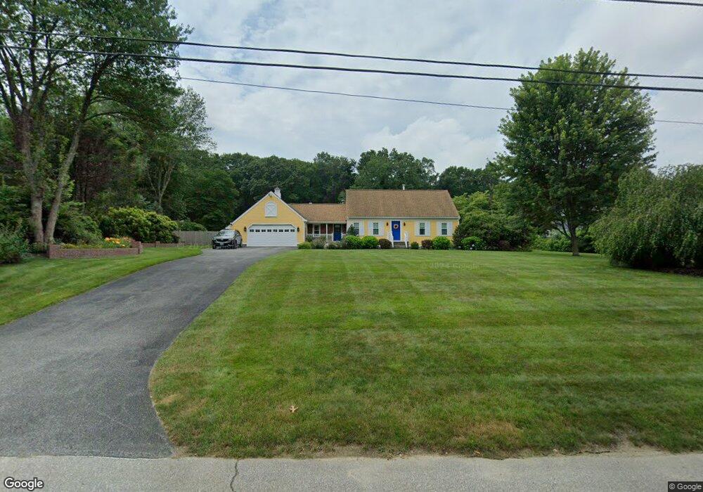
4 Cynthia Rd Lincoln, RI 02865
Central Lincoln NeighborhoodEstimated Value: $806,000 - $965,000
3
Beds
3
Baths
3,088
Sq Ft
$284/Sq Ft
Est. Value
About This Home
This home is located at 4 Cynthia Rd, Lincoln, RI 02865 and is currently estimated at $878,523, approximately $284 per square foot. 4 Cynthia Rd is a home located in Providence County with nearby schools including Lincoln Senior High School and Bryant University.
Ownership History
Date
Name
Owned For
Owner Type
Purchase Details
Closed on
Feb 26, 2021
Sold by
Brousseau Ft
Bought by
Brousseau Ft
Current Estimated Value
Purchase Details
Closed on
Jun 19, 2014
Sold by
Brousseau Leo F
Bought by
Brousseau Tr Leo F and Brousseau Gail E
Purchase Details
Closed on
May 6, 1972
Bought by
Brousseau Leo F and Brousseau Gail E
Create a Home Valuation Report for This Property
The Home Valuation Report is an in-depth analysis detailing your home's value as well as a comparison with similar homes in the area
Home Values in the Area
Average Home Value in this Area
Purchase History
| Date | Buyer | Sale Price | Title Company |
|---|---|---|---|
| Brousseau Ft | -- | None Available | |
| Brousseau Tr Leo F | -- | -- | |
| Brousseau Leo F | -- | -- |
Source: Public Records
Mortgage History
| Date | Status | Borrower | Loan Amount |
|---|---|---|---|
| Previous Owner | Brousseau Leo F | $309,000 | |
| Previous Owner | Brousseau Leo F | $315,000 | |
| Previous Owner | Brousseau Leo F | $326,700 |
Source: Public Records
Tax History Compared to Growth
Tax History
| Year | Tax Paid | Tax Assessment Tax Assessment Total Assessment is a certain percentage of the fair market value that is determined by local assessors to be the total taxable value of land and additions on the property. | Land | Improvement |
|---|---|---|---|---|
| 2025 | $10,686 | $790,400 | $236,100 | $554,300 |
| 2024 | $10,290 | $593,100 | $180,000 | $413,100 |
| 2023 | $9,780 | $593,100 | $180,000 | $413,100 |
| 2022 | $9,756 | $593,100 | $180,000 | $413,100 |
| 2021 | $9,512 | $468,800 | $150,100 | $318,700 |
| 2020 | $9,442 | $468,800 | $150,100 | $318,700 |
| 2018 | $9,291 | $415,700 | $128,700 | $287,000 |
| 2017 | $9,104 | $415,700 | $128,700 | $287,000 |
| 2016 | $8,979 | $415,700 | $128,700 | $287,000 |
| 2015 | $9,261 | $393,600 | $123,700 | $269,900 |
| 2014 | $9,277 | $393,600 | $123,700 | $269,900 |
Source: Public Records
Map
Nearby Homes
- 38 Harris Ave
- 55 Wilbur Rd
- 145 Jenckes Hill Rd
- 4 Tattersall Dr
- 25 Suffolk Way
- 1904 Old Louisquisset Pike
- 151 Old Jenckes Hill Rd
- 4 Pine Tree Ln
- 24 Greenwood Ln
- 1 W Farm Rd
- 1147 Great Rd
- 0 Whitman Way Unit 1183628
- 0 Whitman Way Unit 1183679
- 8 Valentine Ct
- 8 Meeting House Rd
- 1 Victoria Dr
- 35 E Lantern Rd
- 1796 Old Louisquisset Pike
- 1004 Great Rd
- 245 Reservoir Rd