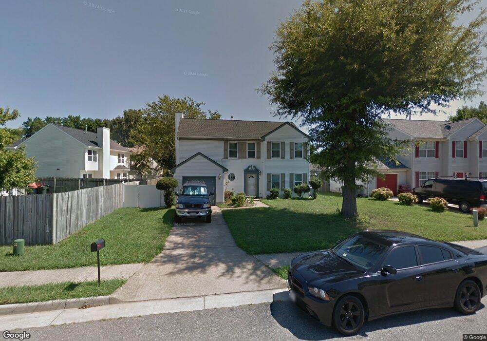
4 Daniel Ln Hampton, VA 23664
Buckroe Beach NeighborhoodEstimated Value: $310,604 - $366,000
3
Beds
3
Baths
1,865
Sq Ft
$185/Sq Ft
Est. Value
About This Home
This home is located at 4 Daniel Ln, Hampton, VA 23664 and is currently estimated at $345,151, approximately $185 per square foot. 4 Daniel Ln is a home located in Hampton City with nearby schools including Benjamin Syms Middle School, Phoebus High School, and Gloria Dei Lutheran School.
Ownership History
Date
Name
Owned For
Owner Type
Purchase Details
Closed on
Oct 25, 1999
Sold by
Newkirk Mark S
Bought by
Mcghee Ricky L
Current Estimated Value
Home Financials for this Owner
Home Financials are based on the most recent Mortgage that was taken out on this home.
Original Mortgage
$108,630
Outstanding Balance
$32,675
Interest Rate
7.78%
Mortgage Type
VA
Estimated Equity
$312,476
Create a Home Valuation Report for This Property
The Home Valuation Report is an in-depth analysis detailing your home's value as well as a comparison with similar homes in the area
Home Values in the Area
Average Home Value in this Area
Purchase History
| Date | Buyer | Sale Price | Title Company |
|---|---|---|---|
| Mcghee Ricky L | $106,500 | -- |
Source: Public Records
Mortgage History
| Date | Status | Borrower | Loan Amount |
|---|---|---|---|
| Open | Mcghee Ricky L | $108,630 |
Source: Public Records
Tax History
| Year | Tax Paid | Tax Assessment Tax Assessment Total Assessment is a certain percentage of the fair market value that is determined by local assessors to be the total taxable value of land and additions on the property. | Land | Improvement |
|---|---|---|---|---|
| 2025 | $3,525 | $295,700 | $60,500 | $235,200 |
| 2024 | $3,383 | $294,200 | $60,500 | $233,700 |
| 2023 | $3,250 | $280,200 | $58,500 | $221,700 |
| 2022 | $3,000 | $254,200 | $54,000 | $200,200 |
| 2021 | $2,864 | $220,500 | $50,200 | $170,300 |
| 2020 | $2,542 | $205,000 | $50,200 | $154,800 |
| 2019 | $2,497 | $201,400 | $50,200 | $151,200 |
| 2018 | $2,581 | $200,600 | $50,200 | $150,400 |
| 2017 | $2,581 | $0 | $0 | $0 |
| 2016 | $2,581 | $200,600 | $0 | $0 |
| 2015 | $2,581 | $0 | $0 | $0 |
| 2014 | $2,658 | $200,600 | $50,200 | $150,400 |
Source: Public Records
Map
Nearby Homes
- 2051 Richard Ave
- 1527 Grove St
- 2112 E Pembroke Ave
- 714 Grove St
- 1622 Old Buckroe Rd
- 1904 Nickerson Blvd
- 1642 Old Buckroe Rd
- 1938 Long Green Ln
- 515 Buckroe Ave
- 123 N Sixth St
- 9 Bayview Ct
- 604 Old Buckroe Rd
- 1915 Long Green Ln
- 405 Buckroe Ave
- 2004 Winfree Rd
- 1923 Rawood Dr
- 1510 Denton Dr
- 1909 Long Green Ln
- 1642 N Mallory St
- 2007 Egger Cir
- 2 Daniel Ln
- 1541 Old Buckroe Rd
- 22 Northcutt Dr
- 24 Northcutt Dr
- 1543 Old Buckroe Rd
- 3 Daniel Ln
- 5 Daniel Ln
- 26 Northcutt Dr
- 1 Daniel Ln
- 1545 Old Buckroe Rd
- 7 Daniel Ln
- 1540 Old Buckroe Rd
- 28 Northcutt Dr
- 1527 Old Buckroe Rd
- 21 Northcutt Dr
- 23 Northcutt Dr
- 735 Burgess Ave
- 19 Northcutt Dr
- 16 Northcutt Dr
- 734 Burgess Ave
Your Personal Tour Guide
Ask me questions while you tour the home.